Blencoe Falls Walk Guide: Girringun National Park Beyond Wallaman

Published
Last updated
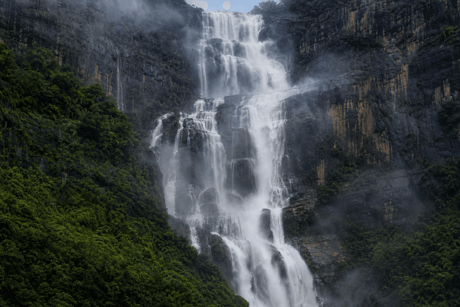
If Wallaman Falls feels crowded or you outgrew casual day-visitor pacing, Blencoe Falls in Girringun National Park offers escarpment-scale drama with quieter espresso rescue geography.
Treat Blencoe as logistics-heavy: road condition sensitivity after rain, limited mobile coverage, and wet-season closure rhythms documented on QPWS Blencoe Falls, Girringun National Park.
The wider network overview lives at Girringun National Park. Wallaman, Blencoe, and sister sections rotate alerts independently.
Relationship to Wallaman mentally
Wallaman concentrates visitor infrastructure nearer Cardwell coast thinking; Blencoe drags timelines toward north-west drive commitment measured in pothole patience. Still read:
- Lightning respect identical to Wallaman Falls walk guide escarpment notes.
- Multi-day North Queensland planning if camping nights stack.
- North Queensland bushwalking guide for seasonal literacy.
Crocodile and gorge reality
QPWS visiting safely pages highlight saltwater crocodile presence-habitats do not care that your lens feels artistic. Obey swimming prohibitions and respect cultural rules around water.
Track choices without inventing grades here
Blencoe lists journeys such as lookout walks and longer gorge routes on QPWS-read current distance, grade, and closure bands there. This blog avoids paraphrasing kilometre precision that maintenance updates invalidate.
Assume Grade 4 seriousness if your chosen journey mentions steep exposure, heat, and unreliable phone coverage.
Camping cues
Camping precincts carry fire, generator, and crocodile-aware behaviour clauses-screenshot conditions before bush internet fades.
Townsville-linked walkers sometimes convoy from club networks-The Townsville Bushwalking Club trip culture illustrates pacing worth mimicking on remote roads.
Emotional storytelling firewall
Photography thrives at Blencoe; pair inspiration with Wanderstories only after official PDF maps live offline on your devices.
FAQ
Can I do Wallaman and Blencoe casually in one day?
Usually unwise-distances, closures, and fatigue punish stacked escarpments.
What vehicle?
Read live QPWS access tables-high clearance may be advisory or mandatory depending on grading crews.
Is phone coverage reliable for SOS?
Assume gaps-carry redundant planning layers.
Swimming dreams?
Verify against crocodile mitigation reality-cold pools still injure via slips.
Prep beyond Instagram?
Remote tyre and fuel buffers belong in spreadsheets before romantic captions.