Exploring Paluma Range National Park: Rainforest Hikes and Waterfalls

Published
Last updated
Paluma Range National Park is best thought of as two different day-trip experiences:
- Mount Spec plateau walks in cooler cloud-forest conditions
- lower and warmer walks around Jourama Falls
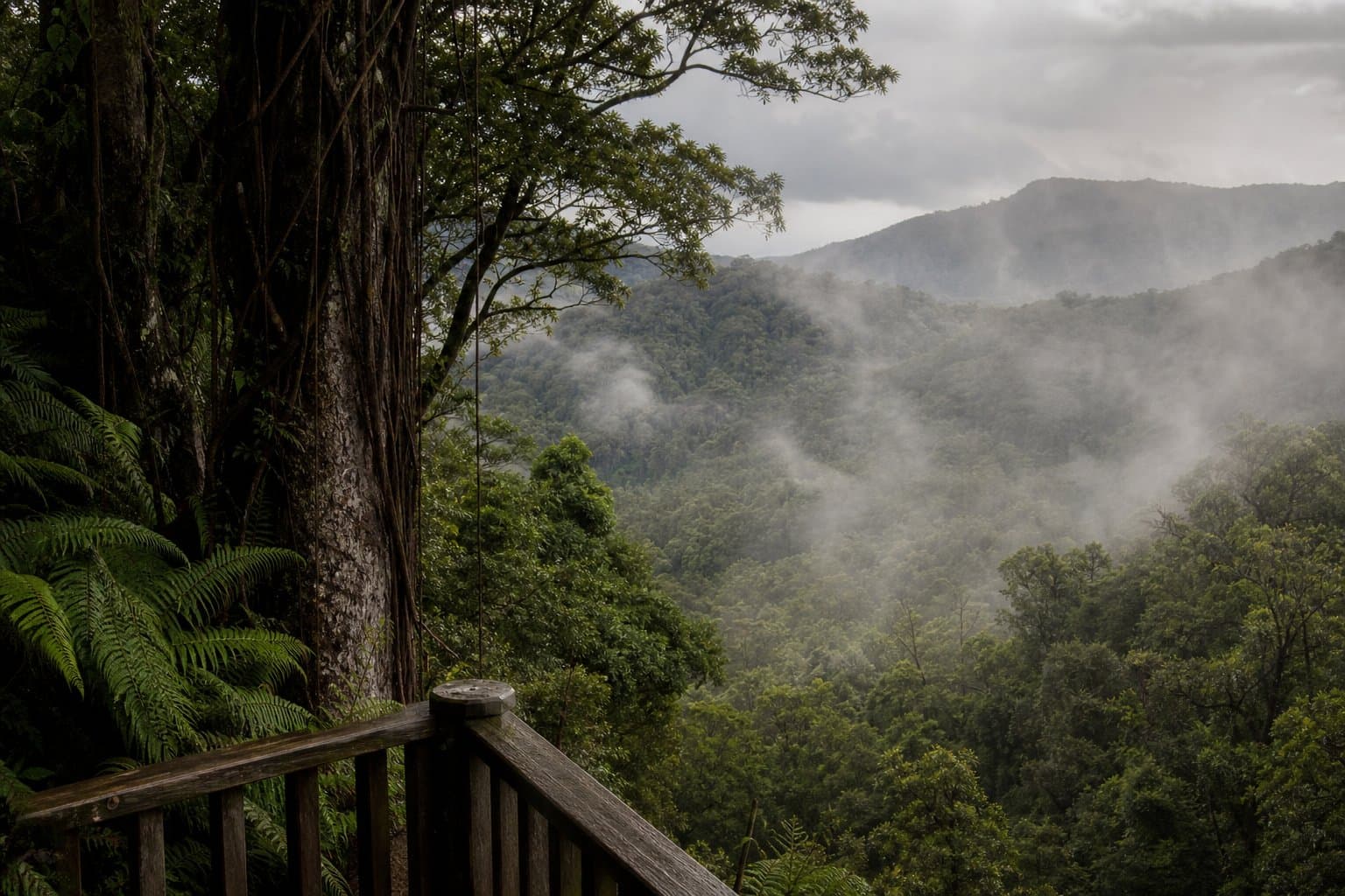
Both can feel very different from coastal walking around Townsville. Steps stay slippery after rain, cloud can reduce visibility fast, and creek conditions change quickly after upstream storms.
Start with the official park page and check current journey notes before you leave:
How to plan your day
If you are heading to Mount Spec, choose your route based on the hardest descent, not the easiest section. Track names and options in this area include Witts Lookout, Cloudy Creek, Birthday Creek Falls, H Track, and McClellands Lookout, each with different effort and footing.
If you are walking Jourama Falls, start early. It gets hot and humid quickly, even when there is canopy cover.
Carry an offline map and set a clear turn-around time. Fog and fatigue make navigation mistakes more common than people expect.
Weather and seasonal risk
Paluma is much riskier in wet conditions. Timber steps, roots, and rock become slick, and creek levels can rise faster than expected.
Before a wet-season trip, review:
- Wet season hiking: safe waterfall chasing in the tropics
- What to pack for tropical hiking in North Queensland
Wildlife, plants, and track etiquette
Snakes and stinging plants are part of this environment. Stay on the formed track, avoid pushing through scrub, and keep a calm distance from wildlife.
For plant and snake awareness, see:
Where signs refer to Traditional Owner or cultural instructions, treat them as essential guidance.
Local trip-report perspective
Trip reports from The Townsville Bushwalking Club are useful for understanding group decision-making, especially around when to turn back after rain.
FAQ
Do I need a 4WD for every Paluma outing?
Access rules change-verify departmental access notes for your specific car park and road segment.
Are waterfalls swimmable?
Follow QPWS signage and seasonal hazards; flooded rock shelves kill optimism annually.
Can I combine Paluma with Townsville urban walking same day?
Schedule rest and hydration honestly-stacking vertical gain without recovery invites sloppy foot placements.