Wet Season Hiking: Safe Waterfall Chasing in the Tropics

Published
Last updated
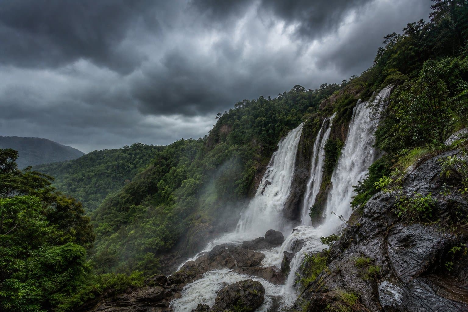
Photogenic waterfalls become rescue magnets when visitors confuse heavier flow with safer access. North Queensland's wet months pair beautiful volume with slippery stone, rising creeks, and electrical storms that stack hazards faster than social media timelines refresh.
Read alerts before aesthetics
Queensland Parks publishes park alerts for closures after cyclone damage or flood risk. Start from the relevant park page-do not assume blue sky at the car park means calm water upstream.
Pair departmental checks with Bureau of Meteorology forecasts; convective cells organise over ranges while coastal tourists still call it "partly cloudy."
Lightning near escarpments
Escarpment lookouts and exposed rock shelves are poor places to wait out thunderstorms. If thunder intervals shrink, descend toward safer terrain-not "one more photo."
Waterfall planning near big vertical drops intersects with this topic on Wallaman Falls walk guide.
Creek crossings when colour changes
Muddy water hides depth and strainer hazards. If the channel thickens mid-hike, stop-upstream rainfall you cannot see still reshapes crossings below.
Groups should nominate a calm decision owner before adrenaline speeches outvote caution.
Pack for failure, not fantasy
Carry rain shell, extra dry layers in waterproof sacks, and torch + spare even on "short" outings-tropical dusk arrives fast when storms steal daylight contrast.
See What to pack for tropical hiking in North Queensland for baseline lists.
Photography ethics
Tripods near cliff edges kill people annually-anchor body weight, not ego. Geotagging sensitive places accelerates harm; ask whether precision posts deserve the ecological trade.
Wet-season conditioning
Fitness does not negate hydrology. Read Hiking fitness: preparing for North Queensland peaks for workload habits-still concede when water levels win.
FAQ
Should I drive creek crossings in national parks?
Follow land-manager rules; vehicles become statistics when crossings become torrents.
What if I need a waterfall fix but weather looks volatile?
Choose lower elevation, shorter loops with multiple bail-outs-or postpone.
Are swimming holes safer during heavy rain?
Often more dangerous-undertows, logs, and rockfall accompany beauty.