The Terraces: Rock Hopping in Bowling Green Bay National Park

Published
Last updated
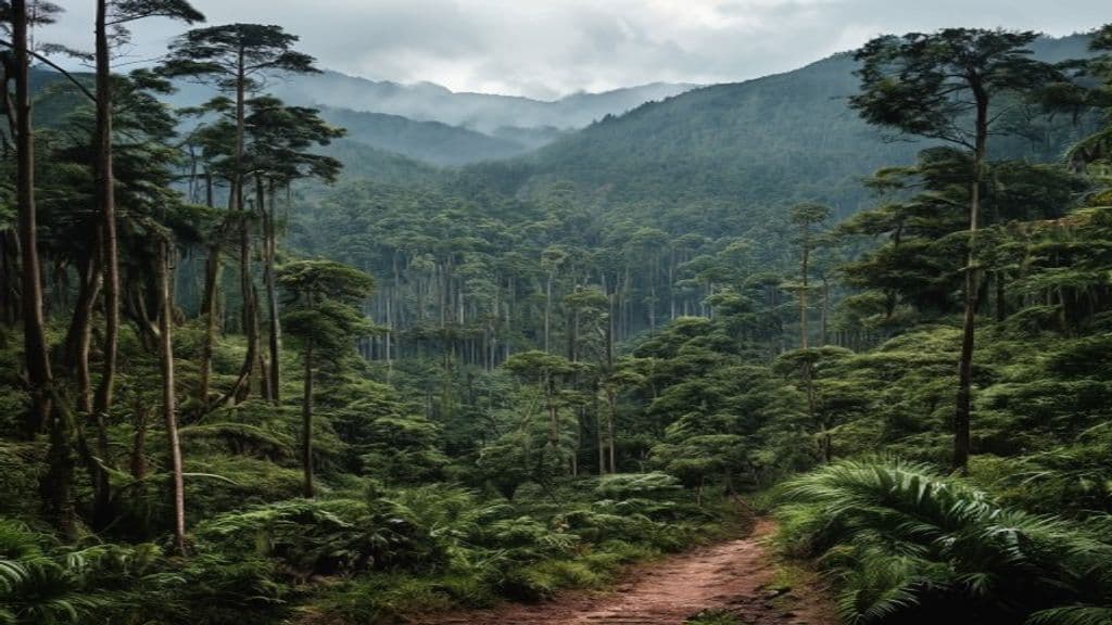
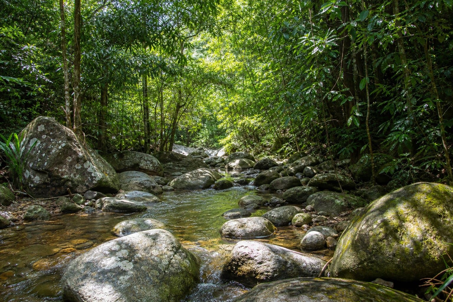
The Terraces is one of those routes local walkers talk about with respect. It is long, rough, and committing creek travel in Bowling Green Bay National Park country.
This is not a step-by-step route guide. That kind of detail can push people beyond their skill level and create avoidable rescues. This page is a planning guide so you can decide if the trip is suitable for your group.
Start with official information
Read the Bowling Green Bay National Park page first, including alerts and hazard advice.
If you want a formed-track comparison in the same area, check the Alligator Falls trail guide. It helps set realistic expectations about the difference between maintained tracks and harder creek routes.
Learn from local walking culture
The Townsville Bushwalking Club trip reports are useful for understanding pace, water planning, and when experienced groups turn back. Read them for judgment and process, not as permission to copy a route you are not ready for.
Conditions change quickly
Rock-hopping becomes much harder after rain. Before committing, review:
Also factor in plant and wildlife risks from stinging trees and snake habitats, especially if the group is tempted to push through dense scrub.
Simple ethics that matter
- Do not geotag sensitive pools or social spots.
- Pack out all rubbish, including small food scraps and wrappers.
- Keep noise down so wildlife is not disturbed and your group can hear changing water conditions.
FAQ
Is The Terraces appropriate for beginners?
No-start with Beginner Townsville hikes and departmental Grade 3/4 formed tracks.
Why not link viral "adventure" vlogs?
Safety and tenure context ages fast; QPWS + club channels age more responsibly.
Is this the same as Alligator Falls?
Different objectives-compare journey notes rather than conflating mileage.