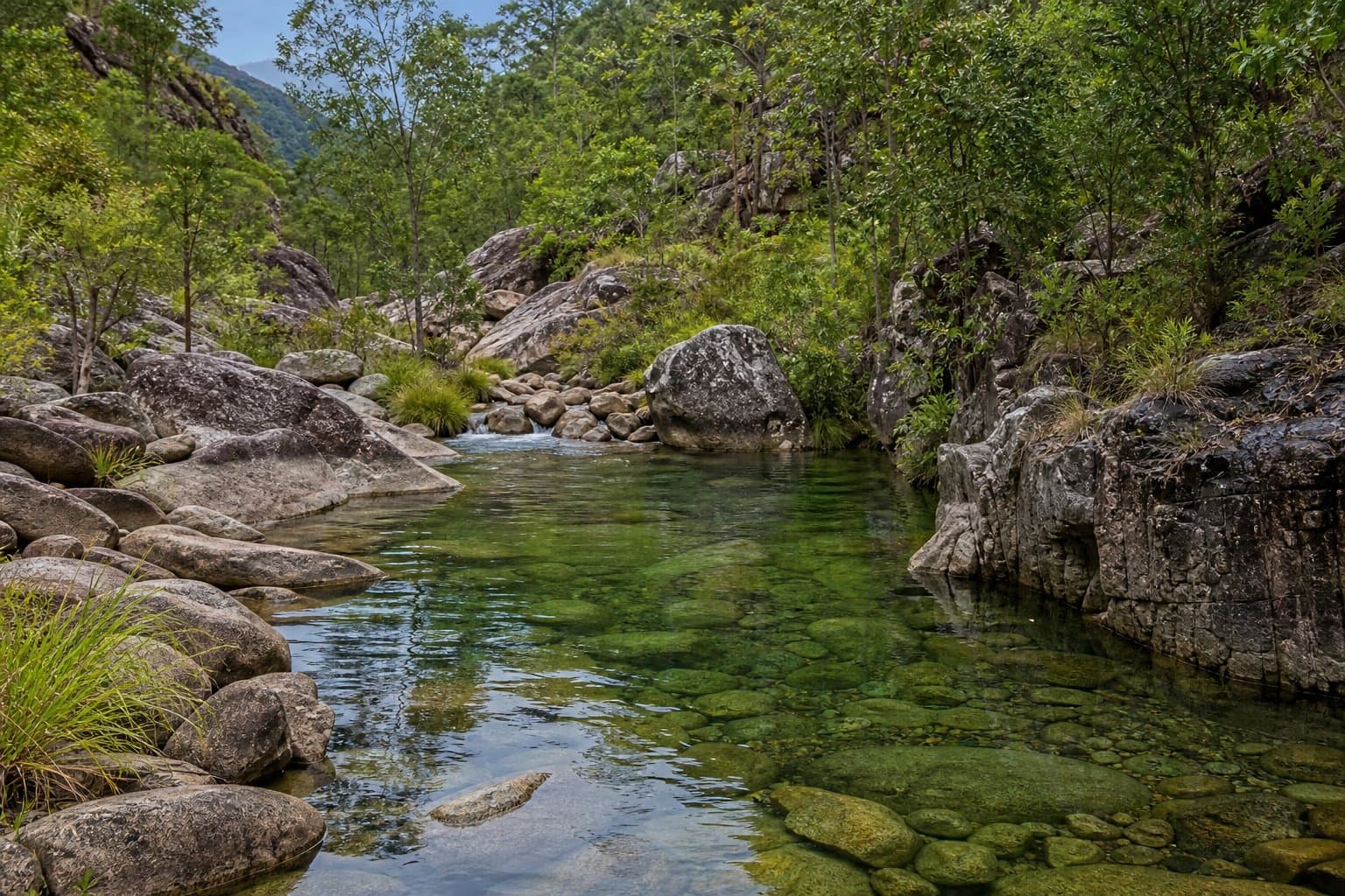
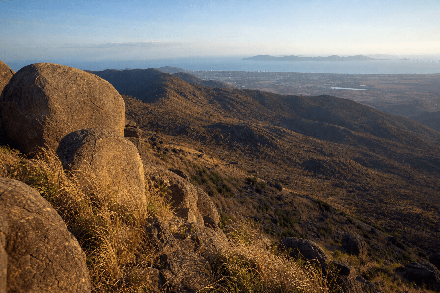
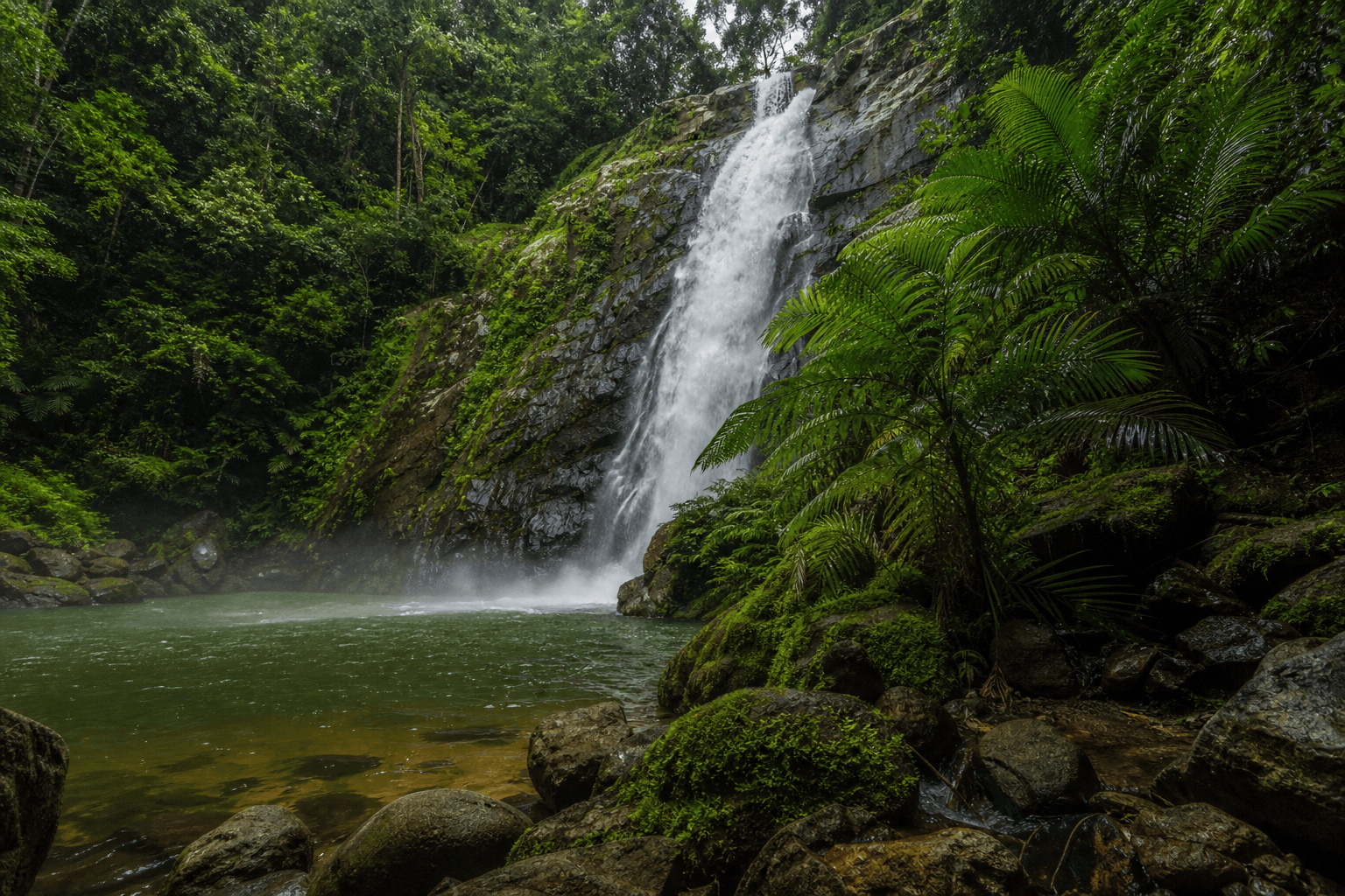
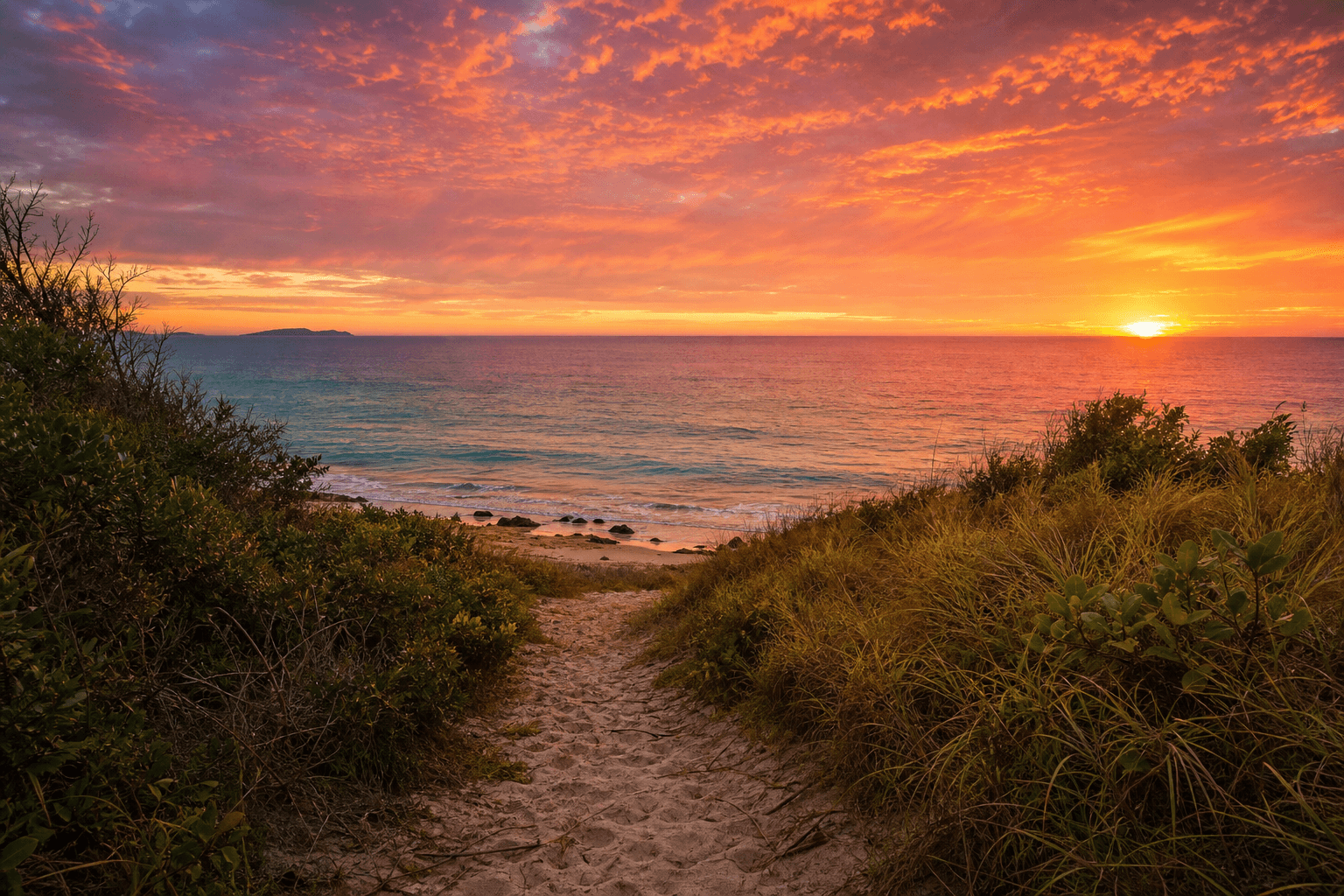
Cape Cleveland Coastal Wilderness: Hiking to Sunset Beach

Published
Last updated
Cape Cleveland is a good option when you want a coastal walk near Townsville, but planning matters more than people expect.
Routes in this area can cross different land tenures, include unmarked sections, and have long stretches with little shade. Do not rely on a single app track.
Before you go, check the official information for Bowling Green Bay National Park, including closures and access notes.
Planning for Sunset Beach
Most trip plans use access points off Cape Cleveland Road and then follow ridges or coastal sections toward beach areas. Conditions can feel much hotter than expected, especially once you leave shade.
Carry more water than usual, wear full sun protection, and leave time to turn back early if the heat builds.
If you like narrative-style trip context, Wanderstories can be useful for background reading, but always verify route legality and current access on official pages.
Main hazards to plan for
- Snakes on rocky and scrubby sections
- Marine stinger risk if swimming in saltwater
- Saltwater crocodile risk near estuaries and tidal zones
If swimming is part of your plan, read Stinger season coastal safety first.
Build up before harder coastal links
If your group is still building fitness or heat tolerance, start with:
That progression makes remote coastal days safer and more enjoyable.
FAQ
Is there a single official "Sunset Beach track" page?
Departmental naming evolves-anchor on the current Bowling Green Bay journey list rather than legacy blog slugs.
Dogs?
QPWS-managed areas usually exclude pets-confirm for the precinct you actually enter.
Can I snorkel spontaneously?
Match marine safety briefings to season; stinger logic still applies on many tropical coasts.