Pallarenda, Cape Pallarenda & Shelly Beach Walks Near Townsville

Published
Last updated
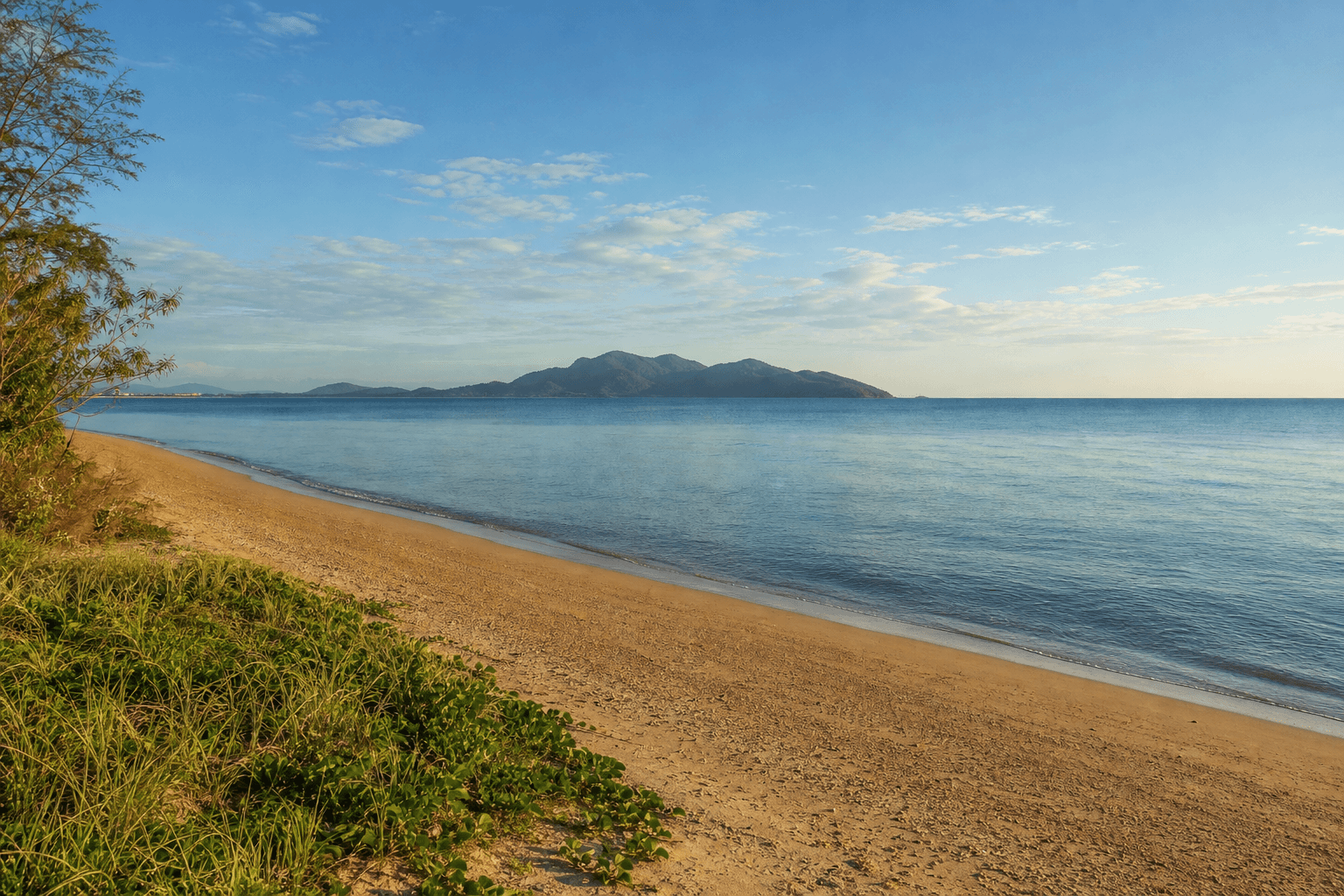
Pallarenda and Shelly Beach sit on Townsville's coastal shoulder: mangrove edges, sweeping views toward Magnetic Island, and low-gradient paths that look easy on paper until heat and wind add their tax. This guide is for walkers who want honest planning, not a pasted list of kilometres from an old brochure.
Land managers differ by precinct. Track Townsville City Council for regional park access, facilities, and closures, and confirm Queensland Parks and Wildlife Service (QPWS) pages where your loop enters conservation tenures. Signage at the trailhead you actually use beats second-hand beta.
Official starting points
- Town Common Conservation Park (QPWS) neighbours this landscape and shares many trip-planning realities (mosquitoes, tides, birds).
- Cape Pallarenda precinct information from Townsville City Council sits alongside other coastal reserves-check the park or natural area page that matches your carpark.
If you want structured local trip culture alongside solo planning, see The Townsville Bushwalking Club. For longer-form trail writing, Wanderstories can sit next to factual route notes without replacing official maps.
What you are really choosing
Shelly Beach side trips often mean sand, glare, and tidal texture underfoot. Cape Pallarenda headlands add wind exposure and big-sky views without much shade. Linking precincts in one outing extends time in the sun-more water and a hard turn-around time matter more than brand-name distance.
Match the outing to your heat adaptation, not your temperate-climate personal best.
Time of day and seasons
- Aim for early morning on clear days; seabreezes help later but UV still accumulates.
- After rain, low paths can hold puddles and soft sand can feel deeper than expected.
- Cyclone or flood recovery can close carparks or tracks-check council and QPWS before you drive.
Birds, dogs, and etiquette
Coastal conservation areas are bird-rich; off-leash assumptions fail often. Read local leash rules per reserve and keep dogs under control near shorebirds. Cyclists and families share some links-slow down, call passes early, and assume wildlife has right of way at roosts.
Tide and beach links
If your plan threads beach connectors, check tide and surf guidance for the day-unexpectedly wet feet are fine until they become fatigue kilometres from the car. Do not invent shortcuts across unknown mud or creeks after storms.
Suggested planning checklist
- Closure status from council/QPWS the same morning you leave.
- Water sized for humid heat, plus electrolytes on long flat days where sweat hides in the breeze.
- Hat, sunscreen, repellent where mangrove mozzies feature.
- Footwear for sand plus short gravel-not every "flat" walk is thong-safe.
How this connects to wider Townsville walking
Slot this outing into our Townsville hikes hub beside Magnetic Island hikes when you want an island payoff, Castle Hill when you prefer vertical metres near the CBD, or Town Common walking trails when your priority is wetland birds and QPWS-listed tracks next door.
FAQ
Is Pallarenda one park or several names online?
Precinct labels split between city-managed shoreline and neighbouring QPWS conservation-check the map PDF for where you parked.
Can I swim everywhere along Shelly Beach?
Marine stingers affect North Queensland coastal planning seasonally-read our stinger-season coastal hiking notes and obey lifeguard signage where it exists.
Do I need a 4WD?
Most visitor walking starts from sealed access where council maintains carparks-verify current road notices after weather events.
Is this a rainforest walk?
No-expect sun, wind, and birds rather than Wet Tropics canopy-see Paluma Range when you want rainforest flavour without leaving the region.