Townsville Town Common Walking Trails: Birds, Boardwalks & Flat Miles

Published
Last updated
Townsville Town Common Conservation Park is where flat kilometres meet magpie geese, waders, and late-afternoon breezes-until summer humidity rewires your hydration maths. QPWS manages the conservation park; pairing their journey notes with Townsville City Council pages for adjoining coastal precincts prevents half the "wrong carpark" arguments.
Start every visit with QPWS Town Common Conservation Park including alerts, maps, and track closures.
Local club trip reports illustrate how seasoned North Queensland walkers treat heat and mozzies as equal hazards-The Townsville Bushwalking Club remains a grounded reference.
Why Town Common earns its SERP hype
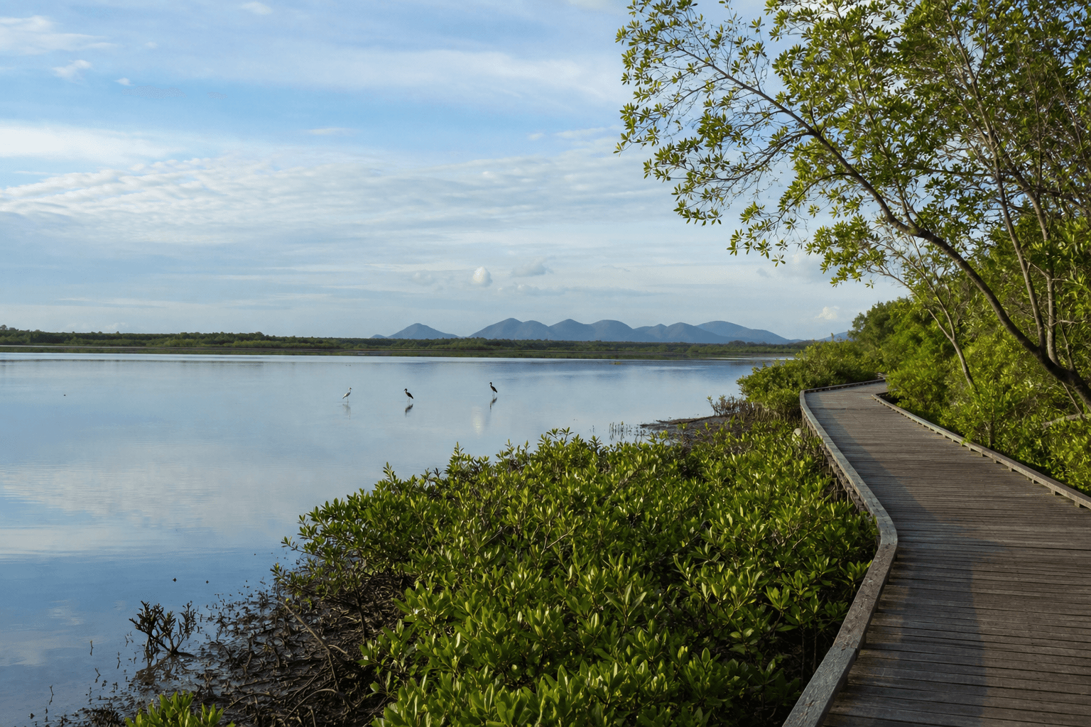
Birders, photographers, and parents pushing prams gravitate here because vertical gain stays modest and vistas across mudflats and mangrove edges reward patience. What marketing gloss skips: mosquitoes after rain, glare off water, and the mental drag of humid still air inland from the seabreeze.
Treat distance as time plus conditions, not a treadmill PR.
Formed routes vs improvised links
Stick to signed tracks and boardwalks unless your skills and permissions clearly match anything beyond that. Flood debris and erosion reshape low-lying tread quickly after cyclone-season runoff.
Download or screenshot the official park map PDF before you lose signal beside the wetland.
Seasonal truth for visitors
Wet season greens and migrant birds can sparkle-then crossings soften, mosquitoes bloom, and maintenance crews close soggy pinch points. Dry season feels kinder after dawn but midday still demands brimmed hats and more water than "it is flat" implies.
If you stitch Shelly Beach or Pallarenda into the same day, read Pallarenda, Shelly Beach & Cape Pallarenda walks for tidal and wind interplay.
Family and accessibility notes
Wide, level sections help family groups, but toddlers still need sunscreen discipline and repellent backups. Toilet and shelter availability changes with precinct upgrades-verify council and QPWS facility notes rather than ageing blog screenshots.
Safety without fear-mongering
- Hydrate before thirst whispers crocodile folklore into your pacing.
- Let shorebirds rule roost etiquette; give flocks berth with long lenses rather than chased selfies.
- If lightning builds over the Bohle River hinterland, shorten loops rather than debating cloud aesthetics.
For North Queensland seasonal thinking beyond Townsville mudflats, read North Queensland bushwalking guide.
Nearby alternatives on the same trip
Need shade-adjacent river kilometres afterward? Ross River Dam walking trails describes dam-side shared paths another day. Prefer ridges? Castle Hill contrasts sharply with wetland cadence-plan them on different mornings.
FAQ
Are dogs allowed?
Assume pets are restricted or prohibited in QPWS-managed conservation areas unless a current park page explicitly allows a narrowly defined precinct-always verify at the entrance you use.
What about crocodiles in estuarine habitats?
Assume saltwater crocodile habitat signage is serious-stay observant near water margins and follow QPWS advice.
Best month for mosquitoes?
They spike after rains; repellent, long sleeves, and dusk avoidance beat stoicism.
Can beginners navigate alone?
Yes on formed tracks with maps downloaded offline; inexperience coupled with improvised shortcuts inherits unnecessary risk.
Do I overlap with twitching etiquette?
Keep voices low, drones rare unless CASA-compliant and park-authorised paths stay respected.