Ross River Dam Walking Trails: Dam Reserve & River Corridor Near Townsville

Published
Last updated
Ross River Dam country is where Townsville walkers stack shade-adjacent kilometres without committing to Pallarenda wind or Magnetic Island ferry clocks. Trails are overwhelmingly Townsville City Council and shared-use mixes-walkers, bikes, scooters, anglers, families. Treat courtesy as mandatory infrastructure.
Council updates maintenance, precinct names, and dog-on-leash expectations on reservoir and river corridor pages. Search Townsville City Council for Ross River Dam reserve, pedestrian networks, or trail notices keyed to Lake Ross-this blog cannot snapshot every precinct label they rotate through web rebuilds.
Why this hub deserved its own URL
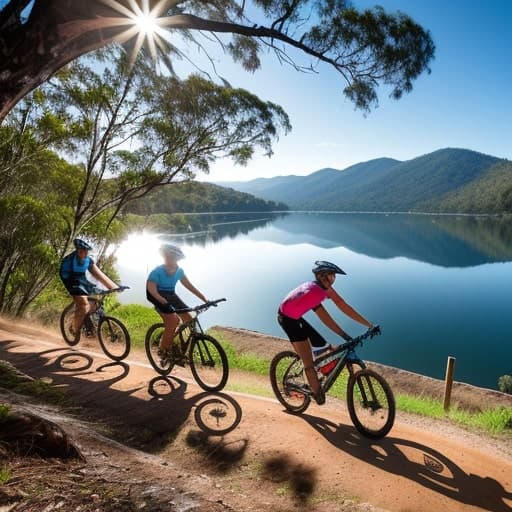
Heat still wins on pavement and fine gravel-even flat shared paths churn sweat when humidity mocks your Fitbit maths. Riders pass quickly; earbuds and wandering toddlers increase conflict risk. Predictability solves most problems: stick right, glance behind before U-turning, leash dogs where signs demand it.
Locals stitch river-corridor links into longer urban training blocks; visitors use the same paths for sunrise leg-stretch days between Magnetic Island swims and Bowling Green bay trips.
Pair practical conditioning ideas with Hiking fitness for North Queensland peaks if you intend to escalate toward Mount Stuart Gorge exposure later.
Planning modules (choose honestly)
Short flat reset (about an hour)
Pick a nearby precinct matching your lodging, grab water, and walk an out-and-back slice before cafes open. Shade pockets move with solar altitude-do not gamble on midday tree cover staying put.
Long social kilometres
Council paths reward podcast pacing until seat-post cyclists appear-bell etiquette varies; stay alert. Hydration taps may be sparse; carry more water than suburban intuition suggests.
Photography and birding windows
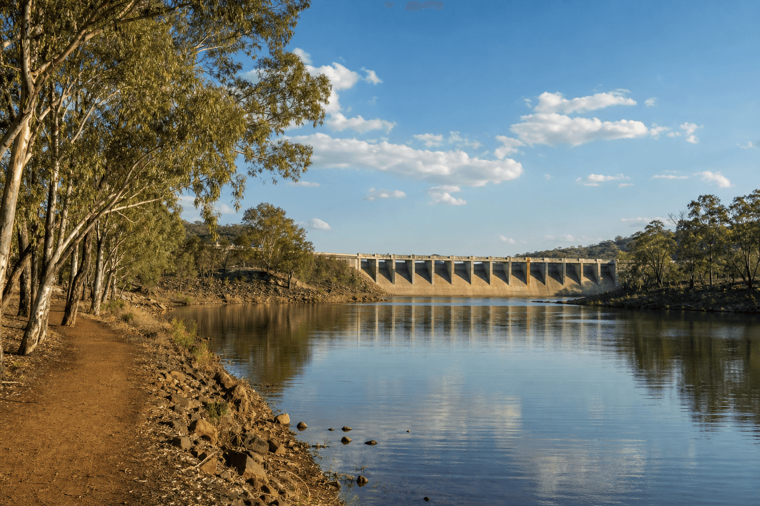
Morning light paints dam shorelines thoughtfully; long lenses still need sun sleeves and mozzie backup after wet weeks.
Integrate with other Townsville modules
The Townsville hikes hub positions Ross River loops opposite Pallarenda & Shelly Beach sea breeze and Town Common wetland birds. Choose one primary heat budget per morning.
If you want structured group walks with local norms, follow The Townsville Bushwalking Club calendar before assuming meetup culture matches southern capitals.
Safety notes that stay boring on purpose
- Never enter dam outlet or engineering exclusion zones to shortcut a loop.
- Flooding after cyclones can close underpasses or trail segments-read council push notifications.
- After dark, lighting and surface debris demand torch discipline even on "safe" paths.
FAQ
Is this a national park experience?
No-it is urban green infrastructure with conservation edges. Expect infrastructure noise and celebratory weekend traffic.
Can I swim in the dam?
Follow current council rules and signage-recreational access zones change; unofficial slides inherit injury risk.
Where do I park?
Use signed carparks for the precinct you chose; impromptu roadside creativity risks fines and tow stories.
Does the site link every pocket path?
No-verify live council PDF maps; this article stays durable by teaching how to plan, not fragile turn lists.
What if I want rainforest instead?
Drive range to Paluma Range or fly north for Atherton Tablelands walks when holiday time allows.