Atherton Tablelands Walks: Crater Lakes, Millstream Falls & Cairns Day Trips

Published
Last updated
The Atherton Tablelands sit above Cairns like a climatic compromise: rainforest pockets, crater lakes that read like folklore, farmland windbreaks, and waterfall country west of the coastal humidity belt. This pillar hub complements our Cairns hiking trails guide when your legs want shade and geology rather than CBD loops.
Treat every outing as verify-then-drive: QPWS alerts, wet-season crossings, and cyclone clean-up timelines shuffle faster than search snippets refresh.
Visitor context from Tourism and Events Queensland regional pages helps stitch accommodation and drive times; still confirm track status on Queensland Parks and Wildlife Service browse listings for each park below.
Planning stories that lean narrative can overlap with Wanderstories, but closures and grades stay authoritative on QPWS only.
How Tablelands hiking feels different than Cairns Esplanade miles
Elevation lifts you into cooler nights, thinner tourist crowds inland, and sharper dawn birdsong-but leeches, slippery roots, and afternoon convection remain Wet Tropics DNA. Carry salt or a small leech-kit tolerance, gaiters if you prefer, and electrolytes anyway because sweat still happens under canopy after lunch.
Organised walkers from reef-focused Cairns sometimes underestimate drive-return fatigue unless they bank rest halves beside crater picnic tables.
Crater Lakes National Park (Lake Eacham circuit mindset)
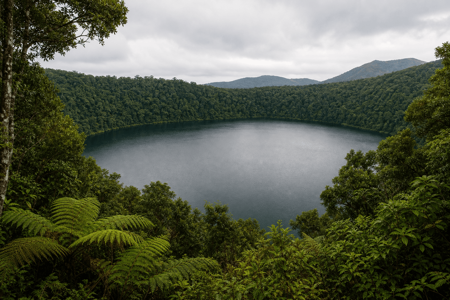
Lake Eacham is the friendly introduction: picture a rainwater lake in a volcanic crater depression with a circuit track enjoyed by families, twitchers, and swimmers who obey signage. QPWS publishes current advice on swimming history, visitor etiquette, and alerts at Crater Lakes National Park.
Clockwise versus counter-clockwise debates waste scenic minutes-ring direction matters less than mosquito discipline after rain.
Pair this park mentally with neighbouring Lake Barrine (teahouse pacing and big kauri etiquette without climbing trees) when you schedule a leisurely Tablelands sampler day.
Millstream Falls National Park (wet-season volume)
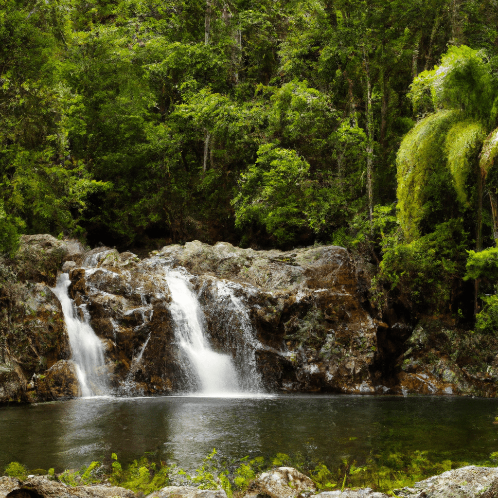
Big Millstream and Little Millstream deliver wet-season theatre without commuter crush from southern national parks. QPWS outlines lookouts, picnic logistics, and slippery rock realities at Millstream Falls National Park.
Read journey notes before promising anyone a swim-signage and conditions around pools shift with rainfall and management priorities.
Why we grouped these two anchors in one pillar
Search intent for Atherton Tablelands walks seldom wants twenty micro-posts repeating the same safety bullet-it wants confidence picking two QPWS-worthy stops plus permission to linger in Yungaburra without guilt.
Birds, cattle, and cassowary buffers
Driving between walks crosses cassowary movement corridors along back roads. Brake for birds, never feed them, and skip roadside selfies.
Expect cattle grids, slower farm vehicles, and dusty visibility-farm dogs behind fences are not photo props.
Stitching itineraries from Cairns
- Depart early; school and farm traffic can blunt mapping-app optimism.
- Walk the Lake Eacham circuit before midday heat builds inside the crater bowl.
- Add a Millstream lookout swing in the afternoon if thunderstorms stay west-or swap order when radar disagrees.
Grow into harder Tablelands agendas later
Seasoned trekkers combine Tablelands outings with Hiking fitness for North Queensland peaks thinking before escalating toward Mount Bartle Frere seriousness described on QPWS Wooroonooran National Park materials.
Regional framing also belongs in North Queensland bushwalking guide and The Best Hikes to Do in Far North Queensland.
For deeper Wet Tropics waterfall thinking after rain, see Wet season waterfall hiking in the tropics.
FAQ
Best quick rainy-day backup?
Visitor centres beside crater precincts-if lightning closes tracks, cafes may still buy time while you reschedule.
Sleep on the Tablelands or commute from Cairns daily?
Cooler nights help sleep; commute works if drivers rotate and nobody drives fatigued at dusk when wildlife risk spikes.
Is mobile coverage reliable everywhere?
Often patchy-download offline QPWS PDF maps regardless.
Is swimming always OK at crater lakes?
Obey posted advice-chemistry, microbes, and management rules evolve.
Townsville traveller relevance?
Long drive-honest overnight Tablelands accommodation beats a heroic same-day triangle with fatigued drivers.