The Best Hikes to Do in Far North Queensland


Published
Last updated
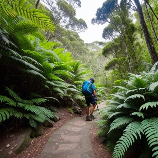
Far North Queensland (FNQ) is where Queensland's rainfall gradients feel personal-humidity clings to rainforest leaves, granite steps turn slick after night rain, and creek crossings change personality faster than trail apps refresh. This article stays deliberately high-level: treat each hike as a research prompt, then confirm details with Queensland Parks and Wildlife Service (QPWS), the Wet Tropics Management Authority, and land managers for the area you intend to visit.
If your trip spans multiple regions on this site, pair FNQ objectives with:
- North Queensland bushwalking - seasons, skills, regions
- Cairns hiking trails - Whitfield, cascades, coast
- Townsville hikes - planning hub
For storytelling angles beyond route notes-photos, essays, longer arcs-Wanderstories sometimes complements factual trip planning when linked sparingly.
Organised bushwalking culture still anchors safe practices in the north; trip reports from The Townsville Bushwalking Club illustrate how experienced Queensland walkers describe wet-season uncertainty even when Magnetic Island is not the headline.
Season framing (read before choosing "best")
Best depends on heat adaptation, leech tolerance, and creek competence-not Instagram defaults. After cyclone-season rainfall, tracks may remain officially closed while skies look innocent. Build buffer days into itineraries; FNQ punishes optimistic stacking.
Wallaman Falls (Girringun) - Australia's headline escarpment drop
For a North Queensland waterfall walk with official QPWS track notes (lookout plus Banggurru and Djyinda journeys), plan from our dedicated Wallaman Falls walk guide-then read current journey pages for grades, times, and closures. Escarpment thunderstorms deserve real lightning respect; do not treat lookouts as benign when convection builds.
Hinchinbrook Island - Thorsborne Trail (permit-only multi-day)
Multi-day hikers searching North Queensland multi-day hikes often benchmark Hinchinbrook Island's Thorsborne Trail (permits via Queensland's booking service; hiking seasons and camping caps change-verify live). Start planning from Thorsborne Trail - Hinchinbrook Island planning guide on this site, then reconcile every operational detail with QPWS.
Mossman Gorge Circuit - rainforest immersion near amenities
The Mossman Gorge precinct showcases lowland rainforest walking with visitor infrastructure that helps newcomers manage humidity shocks. Start with QPWS Daintree National Park and linked journeys such as the Lower river track, Mossman Gorge; read track notes there rather than trusting crowd-ranked blurbs.
Why it belongs on an FNQ shortlist: accessible storytelling rainforest without pretending everyone summit-treks afterwards.
Mount Bartle Frere - Queensland's roof (expert-only territory)
Mount Bartle Frere is Queensland's highest peak; routes demand navigation discipline, huge vertical commitment, and weather homework. Start planning from QPWS Wooroonooran National Park materials-this blog will not paraphrase distances into pretend precision because seasonal maintenance changes stairs and creek lines.
Angle: treat Bartle Frere as a project, not a spontaneous add-on after a reef boat morning.
Cape Tribulation coast-to-village links - where reef and rainforest compete for attention
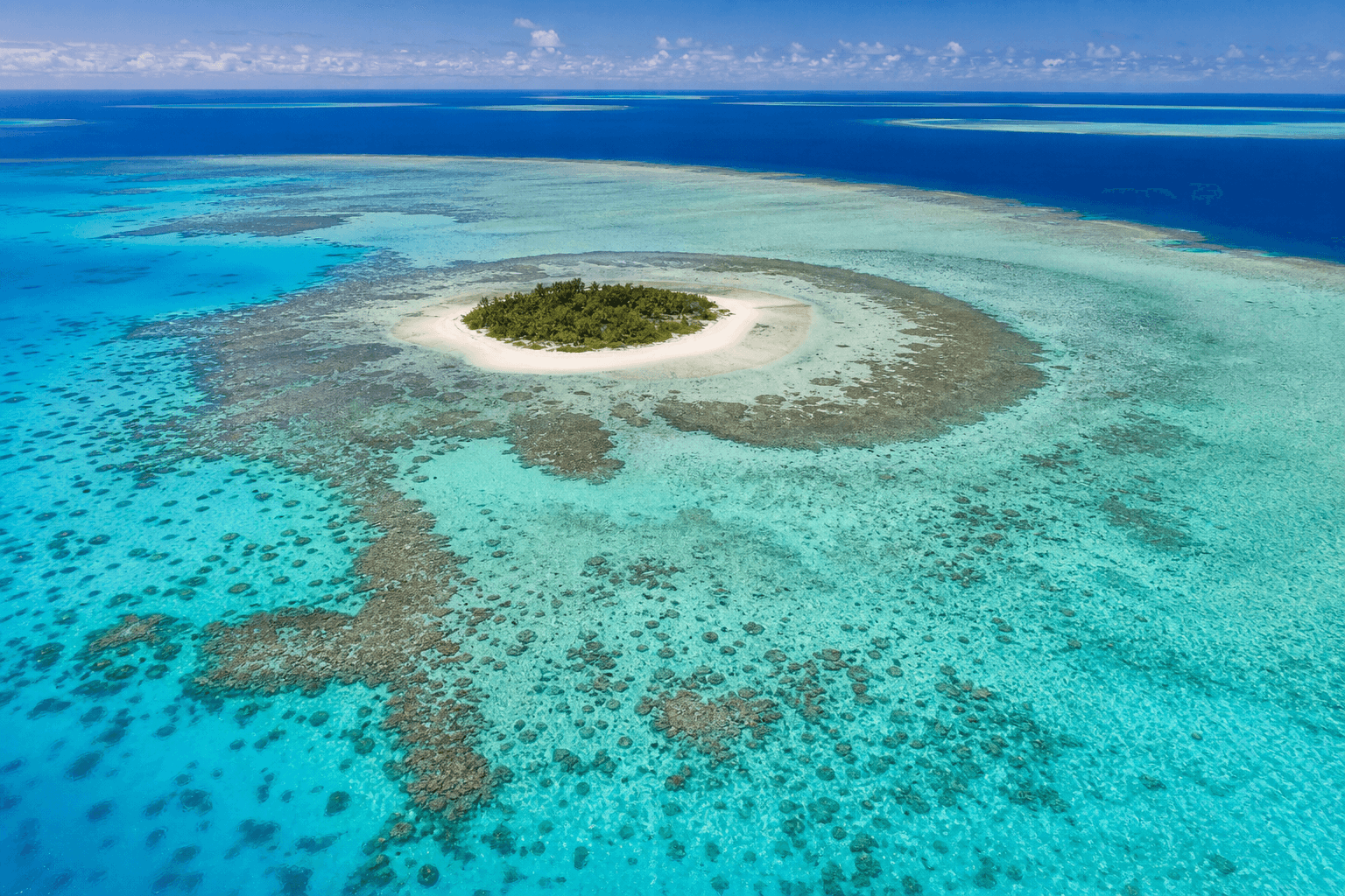
Coastal walking near Cape Tribulation showcases rainforest meeting coral-sea colours-stunning and exposed. Read departmental guidance on estuary crossings, stinger season realities, and cassowary etiquette before improvising "short beach links." Daintree National Park pages anchor responsible behaviour.
Mount Mulligan (Ngarrabullgan) - outback drama west of the humidity belt
The Tablelands-Outback transition offers mesa drama unlike coastal FNQ walks. Access, cultural protocols, and road realities deserve station-aware planning-verify permissions and conditions independently rather than treating Mulligan as a generic hill climb.
Kuranda-Barron Gorge approaches - when railways meet ridges
Barron Gorge National Park stitches rainforest escarpments into Cairns hinterland views. Begin with QPWS Barron Gorge National Park, then cross-reference our shorter Cairns-area posts when you want adjacent logistics:
Wooroonooran classics beyond Bartle Frere (research prompts)
Wooroonooran National Park bundles multiple walking journeys-from shorter rainforest circuits to ambitious pyramid climbs-without forgiving naive pacing. Use QPWS journey pages for Walshs Pyramid, Josephine Falls, and linked routes rather than trusting leaderboard bravado; elevation profiles punish travellers who confuse enthusiasm with acclimatisation. For day-walk framing that still defers grades to QPWS, read Wooroonooran & Misty Mountains day walks on this site.
Treat creek-side slabs as dynamic-photogenic calm can hide algae films hours after drizzle.
Daintree lowlands - boardwalks plus cassowary etiquette
Beyond Mossman Gorge, Daintree lowland walks skew toward interpretation-rich boardwalks where humidity stays cinematic but footing stays predictable-ideal when ankle stability matters more than summit stories. Still read signage about cyclone damage cycles; boardwalk repairs shuffle opening calendars frequently. For croc-smart beaches, stinger season honesty, and where not to wander, use Daintree & Cape Tribulation walking guide.
Tablelands, gorges, reef islands (when you need more than a list line)
- Atherton Tablelands walks hub
- Tully Gorge National Park walks
- Mission Beach & Cassowary Coast walking
- Davies Creek National Park walks
- Blencoe Falls walk guide
- Green Island & Fitzroy Island day walks
Babinda Boulders and council-managed swimming precincts
Not every FNQ "walk" lives inside a national park label-some favourites sit under local council management with swimming-risk realities distinct from ridge hiking. Treat precinct-specific rules as legally serious: signage exists because rescue workload repeats annually.
Devils Thumb and elevated skyline temptations
Thumb-shaped skylines lure photographers; routes deserving respect lurk behind marketing syllables. If a climb lacks a published QPWS journey matching your intended path, assume private land, Traditional Owner permissions, or guide-only terrain until verified officially-not via forum optimism.
Cairns-area posts when FNQ flights hub through Cairns
If your FNQ itinerary routes through Cairns, leverage existing detailed posts rather than duplicating them here:
Safety patterns FNQ repeats until hikers listen
- Creek crossings: pause, reassess, refuse heroes if water rises mid-crossing.
- Leeches: calm removal beats theatrical panic.
- Heat + humidity: sip electrolytes before attitude deteriorates.
- Cassowaries: distance matters-official guidance beats selfie bravery.
Planning cadence that actually works
- Pick one primary vertical objective per 48 hours if humidity is new to you.
- Book sleep like you book trailheads-recovery pace defines injury rates more than boot brands.
- Carry offline maps where ridgelines eat signal; screenshot QPWS PDFs the night before.
- Share your window with someone who will act if you ghost them-vague Instagram stories do not count as safety plans.
When marketing language misleads
Tourism copy loves "pristine" and "hidden gem." Translation: you still need sun protection, water, and time buffers, and the gem may be closed for repairs. Let official sites tell you if boardwalks reopened after recent cyclones-rainforest infrastructure ages quickly in UV and moisture cycles.
Photography without wrecking culture
Respect no photography zones where Traditional Owners or park managers mark them. Some stories belong to communities rather than your grid-ask when uncertain, accept no graciously.
Snakes, spiders, and the stories we over-tell
Australia's critter reputation often overshoots statistical risk yet underrates prevention: closed shoes, headlamps at dawn, and calm backing-away beats viral panic posts every time.
Invasive species and trail hygiene
Seeds stuck in mud on boots can move weeds between World Heritage catchments-brush soles consciously when signage requests it; small habits protect big landscapes.
Small-weeds mindfulness beats viral geo-tagging when fragile moss margins crack under careless shortcuts-stay on formed tread deliberately.
Tread lighter; future hikers inherit your courtesy.
FAQ
Is FNQ hiking beginner-friendly?
Some precinct walks are; summit objectives often are not-match ambition to skills honestly.
Are trail apps authoritative?
No-treat them as sketches; QPWS alerts win.
Do I need guides?
Sometimes-for remote terrain, cultural access, or navigation assurance. Choose licensed operators aligned with local regulations.
How far is FNQ from Townsville hikes mentally?
Far-humidity and wet-season psychology diverge; use our North Queensland framing before stacking regions blindly.
Can I swim after hiking without checking stinger messaging?
No-seasonal marine stinger risk deserves official surf-life-saving or Queensland Health guidance for your window.
Why did this article shrink repetitive blurbs?
Older versions repeated generic compliments ("well-maintained for all fitness") without helping readers choose responsibly-refresh prioritises links to authority pages plus realistic sequencing advice.
Should I combine FNQ peaks with reef dives same-day?
Usually unwise-fatigue + nitrogen-loading debates belong to dive professionals; hikers should budget recovery generously.