Wooroonooran & Misty Mountains Day Walks Near Cairns

Published
Last updated
Wooroonooran National Park is shorthand for serious Wet Tropics scenery: braided streams, thick humidity, waterfalls that roar after rain, and elevation profiles that humble reef-boat tourists. The Wet Tropics Management Authority frames landscape values; Queensland Parks and Wildlife Service (QPWS) owns the journey notes you must read before leaving Cairns or Innisfail.
Anchor every plan at Wooroonooran National Park including alerts, PDF maps, and individual journey pages.
This article stays day-walk scoped. Multi-day epics and extreme summit projects belong to QPWS detail plus your own risk ledger-not to a single blog summary.
Josephine Falls and other signature day journeys
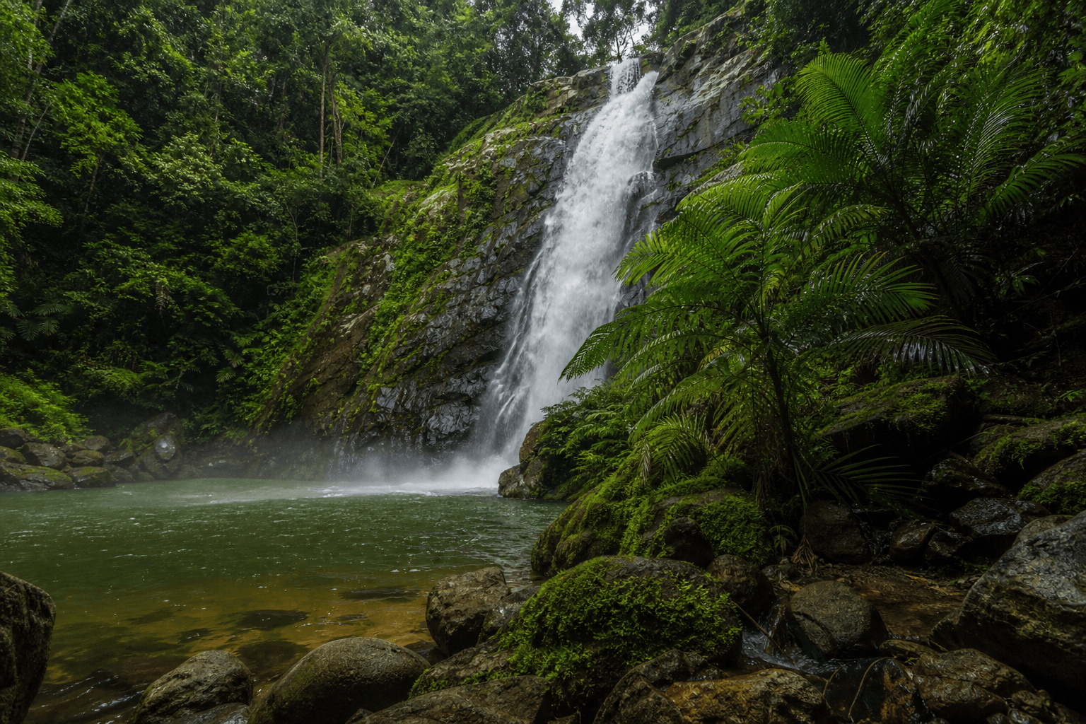
Josephine Falls pairs stepped granite with swim culture that still demands respect for slippery rock and changing flow. QPWS lists the journey under the same park page-always read current swimming advice rather than decade-old vlogs.
Other listed journeys rotate with maintenance-Wooroonooran is not a static checklist. Use the park page index rather than trusting reposted kilometre maths.
Misty Mountains trail network (context, not a DIY mesh)
The Misty Mountains label describes a remote, track-dense part of the Wet Tropics where navigation, water, and time buffers matter more than enthusiasm. Many routes target experienced walkers with permits and transport logistics this post will not paraphrase into false simplicity.
If you are new to North Queensland forest travel, keep your first Wooroonooran days on Grade 3 QPWS journeys with obvious formed tread, then escalate through club mentorship or formal navigation training.
Compare humidity notes with our other poles
- Paluma Range rainforest and waterfalls for Townsville-adjacent cool refuge logic.
- Wallaman Falls walk guide for Girringun escarpment lightning culture.
- Wet season waterfall hiking in the tropics for post-cyclone closure psychology.
Creek crossings and wet-season honesty
After heavy rain, crossings that looked trivial yesterday become ethics tests: turn back when water pressure, colour, or debris say no. Search and rescue timelines in steep country are measured in hours you do not want to spend hypothermic.
Lightning on ridges is not dramatic-it is lethal. Shorten plans when convection builds, even if the carpark weather looked fine at breakfast.
Wildlife you will share tread with
Cassowaries deserve distance and zero feeding. Snakes use the same warm rocks you fancy for photos-read Stinging trees, snakes, and habitats for calm awareness, not adrenaline posting.
Leech stops beside tropical tracks are mundane-bring gaiters tolerance or salt discipline without theatrics.
Cairns logistics reminder
Driving from Cairns rewards early exits before coastal heat stacks inside the rental car. Pair Wooroonooran mornings with quieter afternoons-Cairns Esplanade reset walks-only if legs still forgive you.
Regional framing: Far North Queensland best hikes and North Queensland bushwalking guide.
FAQ
Is Walshs Pyramid in scope?
QPWS treats it seriously-steep grind, relentless sun, carry more water than TikTok admits; read the dedicated journey notes.
Should tourists attempt Bartle Frere casually?
No-treat QPWS warnings as binding unless your skills intentionally match expedition pacing.
What about Glow worm tunnels chatter online?
Stick to QPWS-listed experiences; improvised tunnel travel inherits legal and ecological mess.
Do I need gaiters?
Not mandatory-useful after rain when leeches and shredded leaf litter coincide.
Can I cite this post instead of QPWS PDFs offline?
Never-PDF snapshots beat blogs when GSM vanishes uphill.