Daintree & Cape Tribulation Walking: Tracks, Crocs & Stinger Season Honesty

Published
Last updated
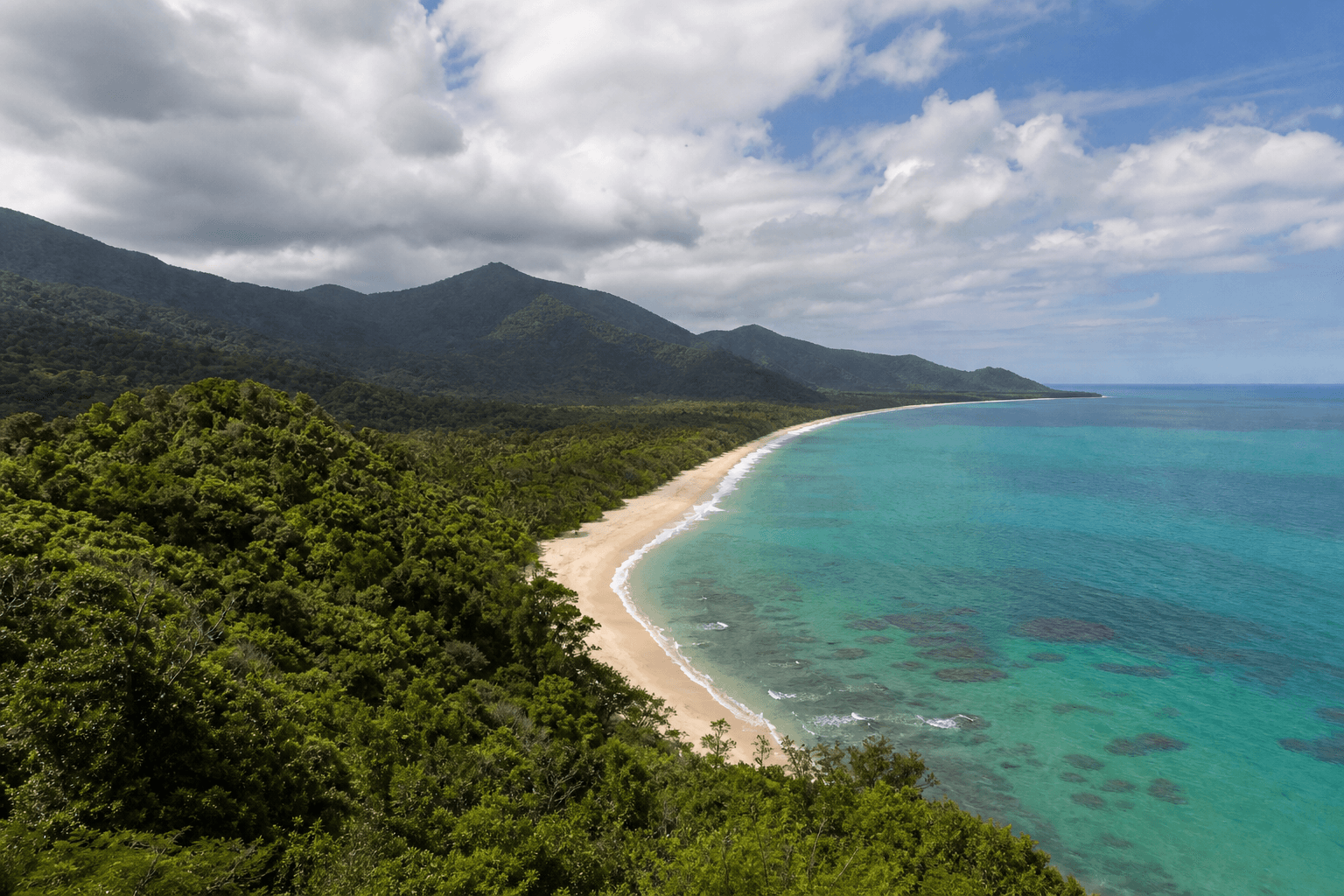
Daintree rainforest roads deliver humidity cinema: fan palms, emerald headlight fog, and beaches that look swimmable until you read the fine print on stingers and saltwater crocodiles. This guide is for visitors who want formed tracks and honest risk framing, not driftwood philosophy about going beyond tape.
Start with QPWS Daintree National Park for alerts, journey links, and cultural access context. Cape Tribulation sits inside the bigger Daintree story-use the same park index rather than random trail blogs.
Visitor logistics and regional loops also appear on Tourism Port Douglas Daintree style resources; still cross-check closures on QPWS the day you travel.
Formed tracks first (boardwalks and signed circuits)
Lowland boardwalks reward slow interpretation when ankle stability matters more than summit bragging. Cyclone repair cycles shuffle which structures open-read official pages instead of star ratings from five years ago.
Mossman Gorge precinct walks sit under the same national park umbrella via QPWS journey notes such as the Lower river track, Mossman Gorge-use current grades and times listed there.
Croc-smart behaviour without panic theatre
Assume crocodile habitat at estuaries, murky margins, and apparently calm beach creeks. Do not wade waist-deep for photos where signage discourages it, keep dogs out of risk zones, and teach kids that log-shaped objects deserve distance.
Stinger season and beach walking
Coastal walking still needs stinger planning for swim stops-read Stinger season coastal hiking before promising reef swims after forest walks.
Box jellyfish and Irukandji risk varies by season, weather, and netted beaches-use official Surf Life Saving and QPWS-aligned advice rather than hotel brochures.
Cassowaries on roads and tracks
Yield space, never feed, lock away picnic scraps, and avoid stupid drone harassment. Fast driving on rainforest roads kills birds and people-rare win-win stupidity worth skipping.
Extend awareness with Stinging trees, snakes, and habitats for rainforest foot etiquette.
Where not to wander (plain language)
Rainforest verge bushbashing destroys root mats, inherits lost-tourist rescues, and disrespects Indigenous cultural estates. Stick to QPWS-listed paths unless you carry explicit permission and competency far beyond Instagram confidence.
River shortcuts that shrink drive times during floods are tow-truck philanthropy in disguise-detours exist for reasons hydrologists understood before GPS existed.
How this nests in our FNQ cluster
Pair Daintree pacing with:
- The Best Hikes to Do in Far North Queensland for other Wet Tropics priorities.
- Wooroonooran Misty Mountains day walks for granite-and-creek contrast.
- Atherton Tablelands walks for cooler crater-lake itineraries.
Regional skills live in North Queensland bushwalking guide.
For narrative postcards after logistics work, dip into Wanderstories without treating creative essays as SAR briefings.
FAQ
Is Cape Trib beach walking barefoot-friendly?
Sometimes-until stingy shells, midday heat bounce, or sharp coral rubble argue otherwise-pack lightweight shoes anyway.
Do I need guided walks?
Not automatically-QPWS formed tracks suffice for cautious visitors who read signage. Guides help when culture, night interpretation, or transport logistics justify cost.
Can I link beaches off-track to save time?
Only where QPWS and Traditional Owner access rules explicitly allow it-unmarked coastal links may be unsafe or prohibited.
What about ferry queues to Daintree River crossing?
Holiday peaks add stress-build time buffers before walks and reef boats.