Skip to content

Hike&Explore.

Life's an adventure. Get out there and explore!

Ivan Evans Walk: rainforest track in Bayview Heights, Cairns

Cover Image for Ivan Evans Walk: rainforest track in Bayview Heights, Cairns

Bayview Heights, Cairns, Far North Queensland, Australia

Published

Last updated

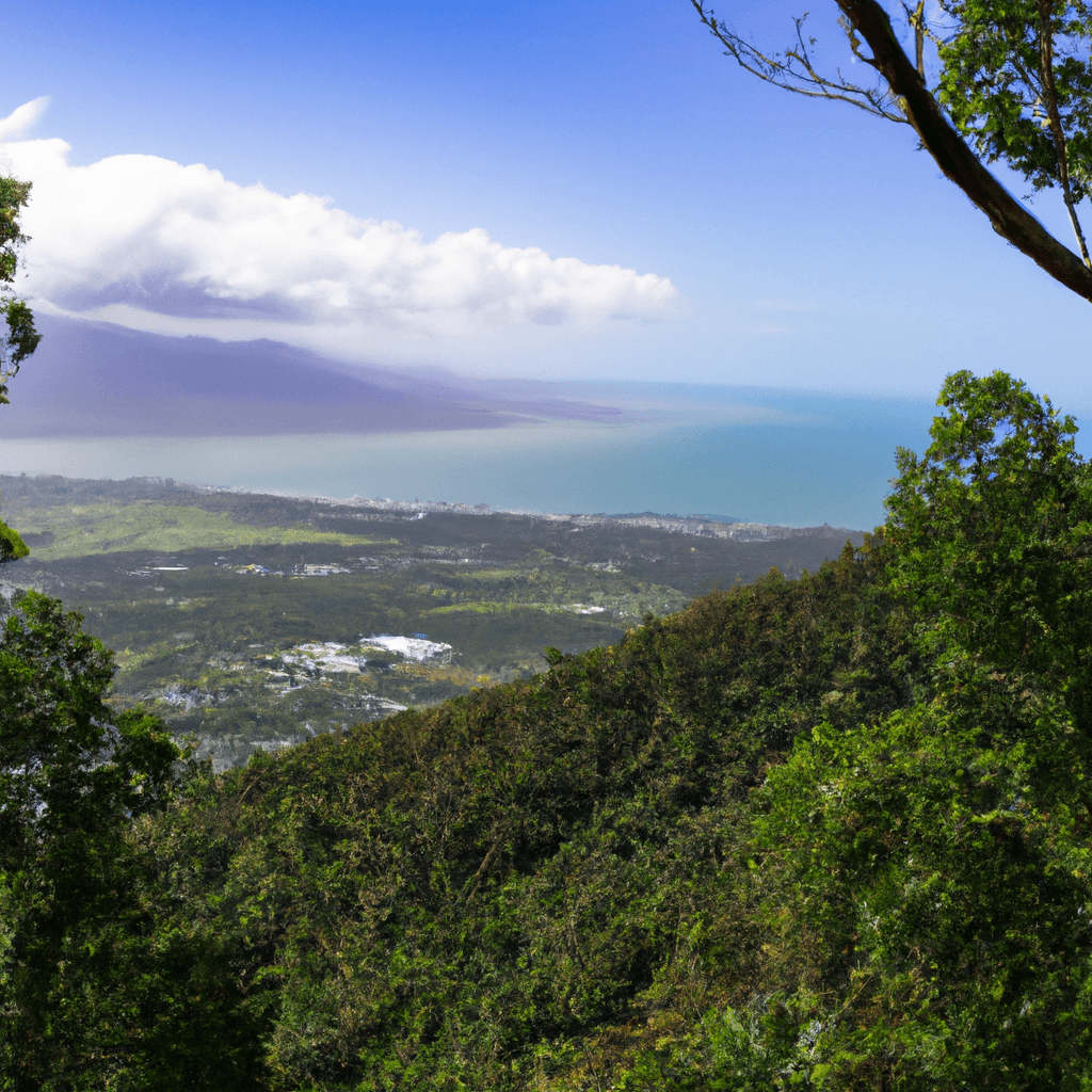
Ivan Evans Walk is a Cairns Regional Council Class 3 track through rainforest behind Bayview Heights. It is about 15 minutes by car from the foreshore, and it is a different outing from the Mount Whitfield Arrow circuits further north. The formed walk runs between Ellen Close and Toogood Road, with BoiBoi's Viewpoint roughly midway and city views through the trees.

Quick route overview

  • Distance: about 2.4 km return on the main redesign (Ellen Close to the lookout and down to Toogood Road); about 4.3 km if you walk the full corridor out and back
  • Time: about 45 minutes to 1.5 hours for the main track; longer if you take the steep ridge spur
  • Difficulty: easy to moderate on the formed walk; hard on the optional steep shortcut above the lookout
  • Terrain: narrow dirt track with rock steps, roots, and short climbs; muddy and slippery after rain
  • Access: cul-de-sac at Ellen Close, or Toogood Road in Bayview Heights
  • Dogs: allowed on leash (this is not one of Council's no-dog conservation precincts)

Access and parking

Park on-street at either end. Ellen Close is the shorter climb to the lookout and the clearer start for many walkers; look for the trailhead sign in the grassy area at the end of the cul-de-sac. Toogood Road has another entry (top of Toogood Road / near Ellen Close Bayview Heights approaches) and a small creek or waterfall near that end after rain. Street parking is limited - arrive early on weekends and leave room for residents.

Recent track work and new directional signs have improved wayfinding on the redesigned Ellen Close to Toogood Road section. Still treat junctions carefully: green arrows on trees help on the main walk, and offline maps are often wrong here.

What to expect

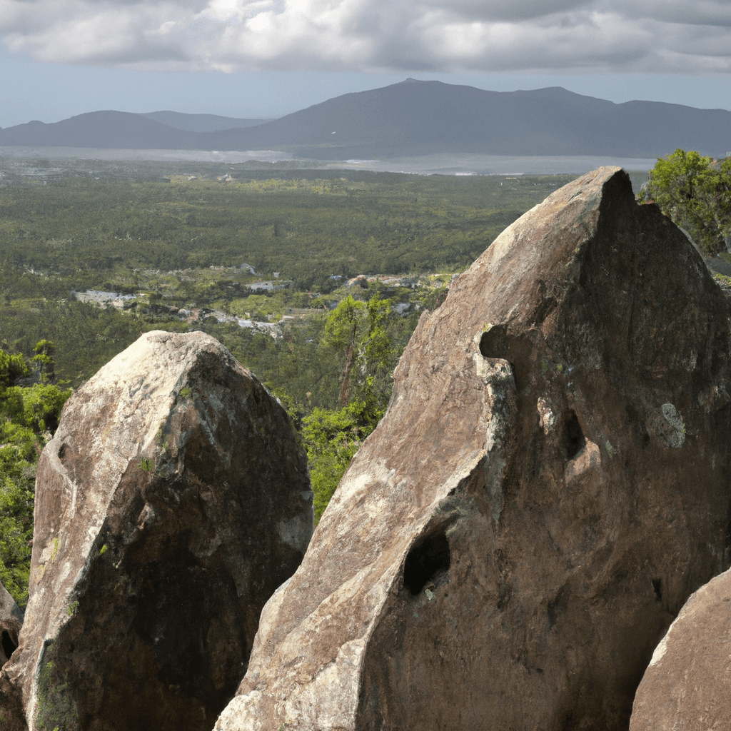
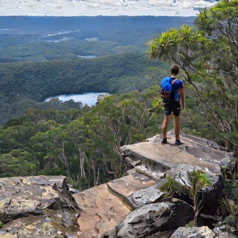
From Ellen Close the track climbs through shaded rainforest on a one-person-wide dirt path with rock steps and interesting rock formations. After roughly 600 to 750 m you reach BoiBoi's Viewpoint (also called the lookout), a pause with views over the suburbs and coastline. That lookout is not the same place as Boiboi Peak higher on the ridge.

From the lookout the main Ivan Evans Walk continues down toward Toogood Road. That side can feel rootier and less formed than the Ellen Close climb. Many locals start at Ellen Close so the steeper formed climb is first, then either turn around at the lookout or continue through to Toogood and return the same way or via quiet streets.

The track stays mostly under canopy, so humidity matters more than open heat. Mosquitoes are common. After rain expect soft patches, slick rock, and stronger flow in the gullies and at the Toogood Road creek.

Steep shortcut and ridge extensions

At the lookout a steeper spur climbs the ridge toward Lake Morris Road. Locals treat it as a hard workout; descent is often the harder part. This link is part of a wider mountain-bike track network in Ellen Close Reserve (sometimes called the Waddlebla trail). Stay alert for downhill riders, keep headphones out, and do not assume every fork is a walking track.

Extra options for fit walkers who accept rough, poorly signed ground:

  • Continue to Lake Morris Road on the steep spur, then turn around
  • Link toward Waddlebla Peak / Boiboi Peak and, for a long day, continue toward Redlynch or pair the outing with Crystal Cascades and Fairy Falls

Those ridge routes are not the Class 3 Ivan Evans redesign. Navigation mistakes are common if you leave the main walk at the lookout without a clear plan - follow signs for the Toogood Road / Ellen Close corridor unless you intend the steeper climb.

Safety and practical tips

  • Carry water and insect repellent year-round
  • Wear shoes with grip; rock steps and roots get slippery when wet
  • Keep dogs on a leash and pick up after them - the track is narrow
  • Stay on the formed walk unless you mean to take the steep ridge spur
  • Yield to mountain bikes on shared spur tracks above the lookout
  • Check Council notices after storms; the track has needed repairs after cyclone and flood damage

Official and local context

For trip stories once your route plan is sorted, see Wanderstories. For more Cairns options, see the Cairns hiking trails guide and Crystal Cascades and Fairy Falls. Mount Whitfield's Red Arrow Circuit is a separate short climb closer to the Botanic Gardens, not part of this Bayview Heights track.

Trail Location

Coordinates: -16.9569, 145.7176

More Stories