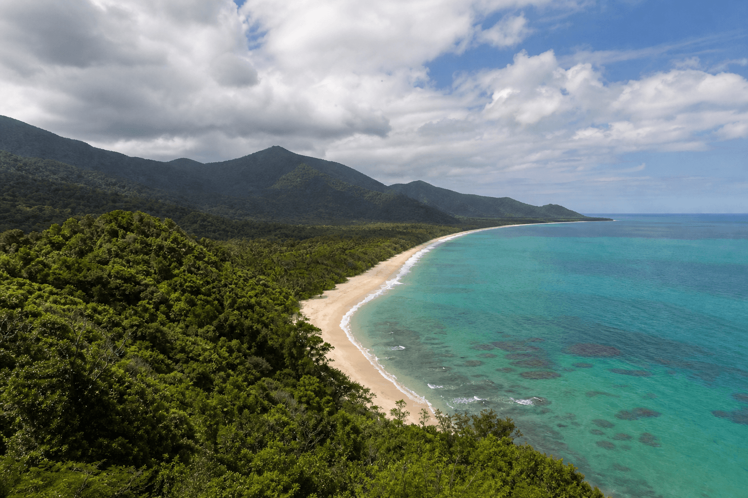
Cairns Hiking Trails: Whitfield, Cascades & Coast

Published
Last updated
Visitors planning Cairns hiking trails usually want three things at once: rainforest shade on the slopes, somewhere to cool off after vert, and easy waterfront kilometres when legs need a break. This page is a hub-use it to stitch a sensible half-day; use our individual posts below for on-track detail and pacing.
Official references (please verify current closures):
- Mount Whitfield Conservation Park - QPWS overview, facilities, park alerts.
- Crystal Cascades - Cairns Regional Council precinct page (swimming precinct logistics).
How Cairns walking differs from Townsville days
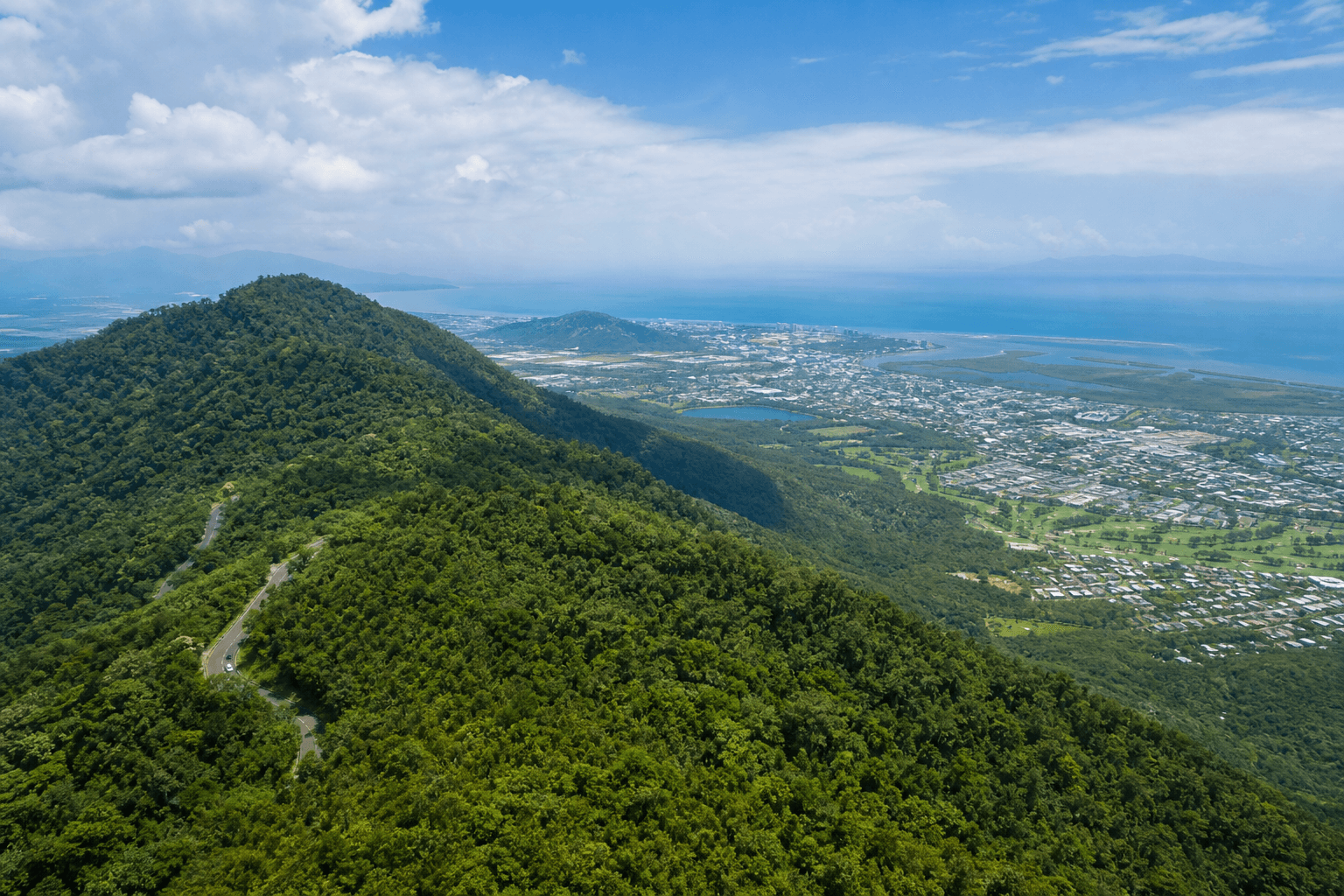
Cairns sits against rainforest hills within minutes of the CBD. Shade arrives faster on forested tracks, but humidity can feel heavier after rain, and leeches appear seasonally in wet pockets-personal tolerance varies.
If you are comparing regions on this site, use:
- Townsville hikes - planning hub for heat-first urban ridge logic.
Module 1 - Two hours, forested slopes (Mount Whitfield)
Mount Whitfield Conservation Park bundles multiple tracks that share trailheads and overlapping ecosystems. For visitors who think in colour-coded branding, our posts cover the classic "Arrow" circuits and adjacent picks:
- Yellow Arrow Track - a Whitfield staple with strong coastal framing for effort.
- Red Arrow Circuit - shorter and steep in places; useful when time is tight.
- Blue Arrow Circuit - rainforest pacing for guests who want something longer without inventing a random "best track" claim here.
- Yellow-Red Arrow Circuit - ties routes together when your legs agree.
- Earl Hill - alternative hill flavour when Whitfield feels crowded on tourist clocks.
Planning tip: choose one primary Whitfield objective per half-day, then add only a light second activity-humidity punishment accumulates faster than distance implies.
Module 2 - Water and granite (Crystal Cascades side of life)
Crystal Cascades is both a social swimming precinct and a gateway to longer creek-country walks for prepared hikers. Our write-ups split the practical realities:
- Crystal Cascades and Fairy Falls - approachable walking plus swimming culture context.
- Crystal Cascades to Copperlode Dam - a harder out-and-back flavour for fit walkers who accept rougher surfaces further along.
Read council rules on swimming precinct etiquette before treating rocks like diving boards-injuries and rescue loads spike when visitors assume "Instagram calm" equals safe depth.
Module 3 - Flat coastal miles (Cairns Esplanade)
When rainforest legs want shade-free breeze and cafés, switch modes:
- Cairns Esplanade - distance-friendly waterfront walking with crowd-aware pacing.
This pairs well with an early Whitfield climb plus a late swim-and-stroll recovery-just watch tropical UV even on cloudy days.
Module 4 - Barron Gorge edges (when you have transport)
Barron Gorge National Park adds elevation drama north-west of Cairns. On this site we host shorter beta posts that pair with QPWS journey pages:
- Glacier Rock Lookout - compact outing notes (check length before committing if you dislike thin posts-this one is intentionally brief).
- Ivan Evans Walk - narrow-track character with Cairns-as-context views.
For national park-wide orientation, start at QPWS Barron Gorge National Park rather than trusting crowd-ranked lists alone.
Module 5 - Tablelands and drier hinterland (rental car days)
When coastal humidity feels relentless, the Tablelands and Mareeba hinterland add crater lakes, open forest, and different sweat signatures:
- Atherton Tablelands walks - Crater Lakes & Millstream Falls - pillar hub for day-trip framing from Cairns.
- Davies Creek National Park walks - popular granite-and-pool country west of the coastal belt.
Read QPWS alerts for each park before you commit mileage.
Module 6 - Reef islands with short walks (ferry logistics)
Green and Fitzroy islands are not multi-day wilderness objectives, but they matter for Cairns + walk + snorkel intent:
Pair with Stinger season coastal hiking and treat boat timetables as part of the hike.
Kuranda Skyrail / train logistics (when hikers become tourists)
Many visitors combine elevated rainforest journeys with walking later the same day. That can work if you treat Skyrail or scenic rail as its own heat-and-time sink-adding Whitfield or Copperlode ambitions on top is how polite itineraries become dehydration arcs. If "Cairns hiking trails" SERPs tempted you with glossy combo packages, translate marketing into your sweat budget honestly.
Stitching a sensible day (examples, not prescriptions)
Half-day "forest + swim"
- Early Whitfield loop while temperatures cooperate.
- Late-morning Crystal Cascades swim logistics (carry cash/card assumptions per precinct updates; verify hours independently).
Half-day "ridge + esplanade reset"
- Short Red/Yellow objective if heat is rising.
- Late Esplanade stroll with food stops-remember salty food equals happier electrolytes.
Adjust if thunderheads appear-ridges first, water second.
Safety patterns Cairns hikers repeat
- Leeches: calm removal; avoid guessing "home remedies" from forums.
- Slippery rocks: slow feet near cascades; assume friction changes after rain.
- Creek crossings: never treat calm-looking water as shallow-verify locally after storms.
Who to read beyond route notes
If you want Queensland hiking stories with narrative depth-sometimes complementary to trail beta-Wanderstories can sit alongside factual posts when it genuinely adds perspective.
For organised bushwalking culture and club-grade route discipline in North Queensland, The Townsville Bushwalking Club remains a recognised authority-even when your trip starts in Cairns, their trip-report tone illustrates how experienced Queensland walkers approach wet-season uncertainty.
What commercial SERPs rarely spell out
Listicles love adjectives ("stunning," "world-class") but omit recovery architecture: where you will change a shirt, buy cold electrolytes, and sit in shade without paying tourist prices. For Cairns city hiking, favour loops that end near honest food-not because cuisine matters for SEO, but because glycogen matters for tomorrow's ridge.
Rainforest soundscapes vs ankle stability
Mount Whitfield tracks trade urban noise for fig roots and stone steps-beautiful until your ankles complain on asymmetric tread. Pace down, shorten stride on wet timber, and trust trekking poles if knees nag during descent-heavy days. Cairns beginners often overestimate flat Esplanade kilometres because cool rainforest mornings hide afternoon deficits-plan hydration across the whole day, not just climb segments.
Photography ethics near swimmers
Crystal Cascades precinct photography intersects with bodies and families-keep lenses pointed respectfully, prioritise consent around strangers, and avoid drone assumptions entirely unless CASA rules and local precinct bans align.
Night hiking reality check
Mount Whitfield night laps tempt locals escaping heat; tourists rarely align stars correctly without knowing gate hours, torch discipline, and spider-web diplomacy. Unless you already night-hike confidently at home, treat darkness as a separate sport-book daytime surplus instead.
Esplanade intervals for measuring fatigue
If you cannot sustain brisk Esplanade kilometres after a forest climb, you ran the morning too hot-log that lesson before Bartle Frere dreams hijack your FNQ holiday later.
Hydration maths tourists fudge
Two litres sounds heroic until hour three when humidity stealth-drains sarcasm from your internal monologue. Aim for small frequent sips, salty snacks that survive heat in ziplocks, and electrolytes when sweat stains crystallise without prompting pity from travelling companions.
Shuttle guilt vs taxi honesty
If rental economics scare you, acknowledge upfront whether skipping shuttles costs hiking energy later-sometimes paying for smarter positioning earns safer kilometres than heroic budgeting myths deserve credit for.
Kids and pacing honesty
Family hikes succeed when adult egos shrink-pick shorter loops with explicit snack clocks rather than bargaining mid-ascent about "five more minutes" that mean forty.
FAQ
Do I need a car for every Cairns hike?
Whitfield and Esplanade-friendly logistics exist for many visitors, but Barron Gorge outings often assume transport-plan honestly.
Are trail apps enough?
Use them as sketches; QPWS alerts beat smartphone optimism after cyclone-season weather.
What if I only have 90 minutes?
Pick either a compact Whitfield loop or Esplanade miles-not both-unless you enjoy rushing humidity.
Leeches-panic or normal?
Normal seasonal companions in wet pockets for some walkers; learn calm removal and accept that screaming helps nobody.
Where next for wider FNQ?
Jump to Far North Queensland highlights on this site, then branch into park-specific research.