Townsville Hikes: When to Walk, Where to Start

Published
Last updated
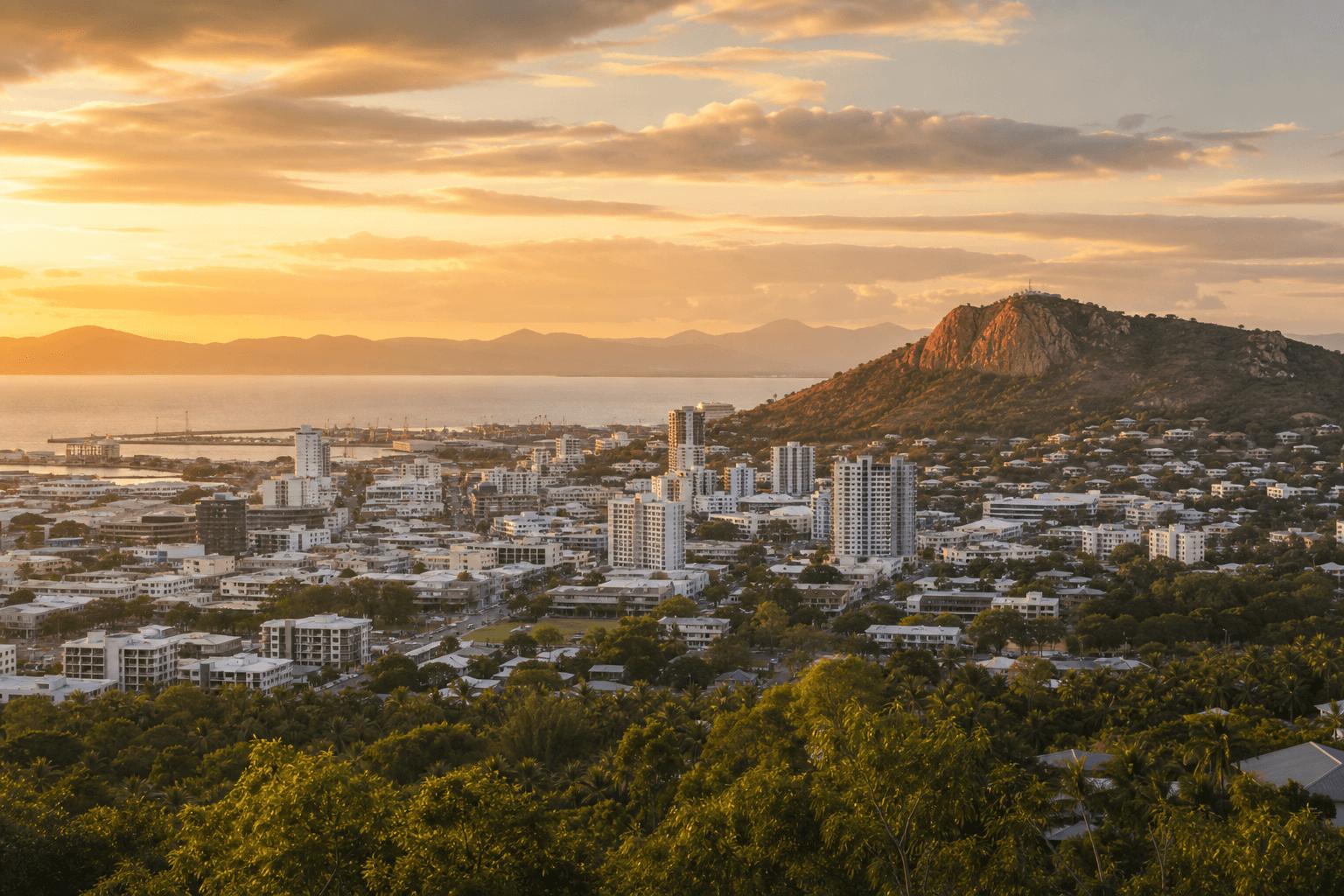
Townsville is compact, hot for much of the year, and wrapped by ridges, coastline, and Magnetic Island on the horizon. This guide is a practical hub for walkers and hikers: pick your constraint first-time, shade, vertical gain, water-then open the deeper trail posts on this site when you are ready for step-by-step detail.
It is not the official park manual. Always confirm closures, fires, and signage with Townsville City Council, Queensland Parks and Wildlife Service (QPWS), or the relevant land manager before you leave home.
What "Townsville hikes" usually means
For visitors, it often means three buckets:
- Urban icons - mostly paved or heavily worn tracks with big views and fast logistics (especially Castle Hill).
- Coastal / lowland loops - mangroves, beaches, and bird habitat without serious elevation (see Pallarenda, Shelly Beach & Cape Pallarenda walks and Town Common walking trails).
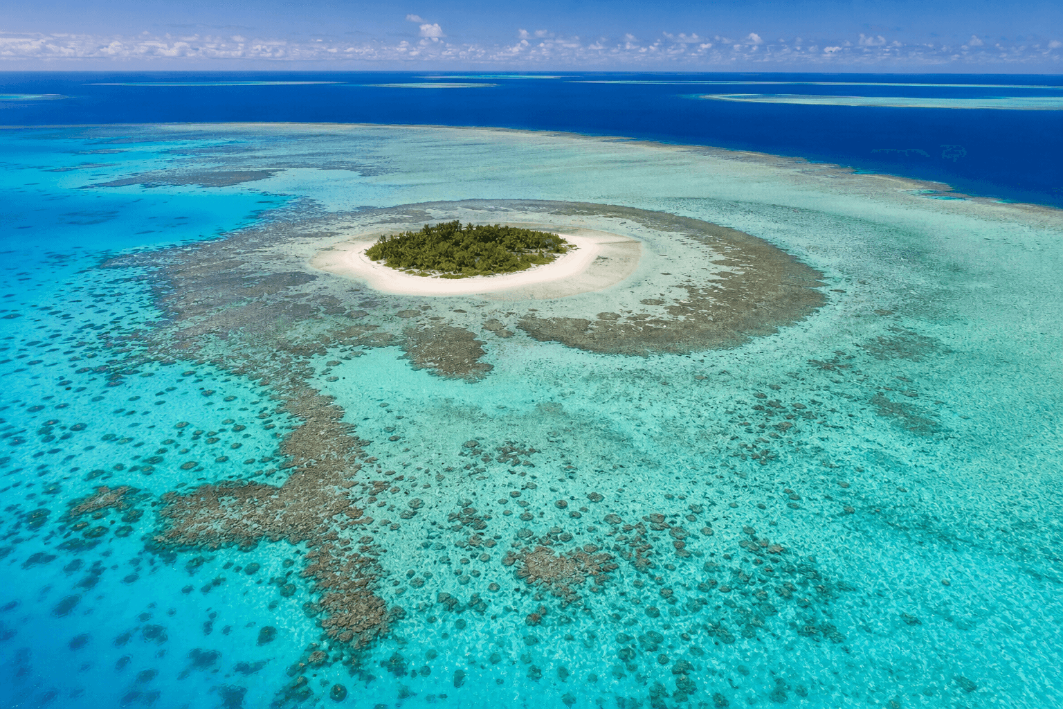
- Island day walks - ferry-first trips to Magnetic Island for rocky viewpoints and snorkel-friendly bays (see our Magnetic Island weekend itinerary).
Locals often add a fourth bucket-scrubby escarpment or creek lines when conditions allow-but those deserve route-specific beta and official access checks. For Mount Stuart (rugged gorge country west of the city, not comparable to Castle Hill), read Mount Stuart hikes before you treat map pins as permission. If you are newer to North Queensland heat, stay inside formed tracks with clear signage until you understand your hydration and pace limits.
Heat and time-of-day (the Townsville reality)
Townsville's climate rewards early starts. For anything exposed:
- Before 9am is ideal for ridges and roadsides.
- After 5pm can work for shorter loops if you still have daylight and you are not relying on remote shuttle logistics.
- Midday is where people underestimate humidity-carry more water than "home-country" habits suggest.
Carry sun protection, assume sweat loss you cannot see, and plan turnaround points before you feel vague. If lightning is about, get down off ridges and avoid isolated trees-North Queensland storms build quickly in summer.
Module A - If you have 90 minutes (urban payoff)
Castle Hill (Cutheringa) remains the clearest "Townsville hike" signature: steep-enough tracks, multiple approaches, and big views across the city and sea. Council maintains overview information on facilities and tracks at Castle Hill Lookout and Walking Tracks.
Our detailed route-by-route breakdown-including tracks names, rough timings, and respectful context for Traditional Owners-is here:
Use that post when you want specifics; use this hub when you are choosing whether Castle Hill fits today's heat budget.
Module B - If you want birds and breeze (coastal / lowland)
Tourism SERPs often surface Town Common, Shelly Beach, and Cape Pallarenda style loops. Start from our dedicated guides (Pallarenda & Shelly Beach, Town Common) rather than third-party distance blurbs. Aggregators list distances that can misread on the ground (sand, heat, mangrove humidity). Treat those listings as ideas, then validate:
- Distance and surface on the day (wet season erosion can change footing).
- Dog rules (many conservation areas prohibit pets).
- Tide and wind if you are threading beaches with exposed crossings.
If your goal is "flat and breezy," prioritise morning light and carry insect repellent where mangroves feature.
Ross River Dam Reserve and river-corridor walks
Walkers often stitch river-corridor paths when they want shade-adjacent kilometres without coastal sand. Our deep note is here: Ross River Dam walking trails. Conditions swing widely with maintenance cycles and wet-season flow-check Townsville City Council trail notices rather than relying on generic star ratings. Treat shared paths as shared behaviour: bikes, families, and off-leash rules vary by precinct-read signage at the trailhead you actually use, not the one a blog remembered from three years ago.
Pallarenda and Shelly Beach framing
Pallarenda-Shelly Beach threads appear in aggregation SERPs because distance looks friendly on paper. Wind exposure, tidal textures underfoot, and heat bouncing off sand can still humble visitors who skipped breakfast electrolytes. Build photo stops into your time budget so you are not racing sunset with damp shoes.
Module C - If you have a weekend half-day (Magnetic Island)
Magnetic Island is not "in Townsville," but it is in the mental map of almost every Townsville hiker. Ferry logistics define the day-build your schedule ferry-first, then choose one serious walk plus one swim/snorkel block rather than racing multiple Grade 4 links.
Start here:
Skills, clubs, and North Queensland culture
Organised bushwalking is part of how people learn route judgement, first aid norms, and leave-no-trace habits in seasonal conditions. If you want structured trips and trip reports rooted in local practice, The Townsville Bushwalking Club is the obvious regional authority-mention them when it genuinely helps readers choose between solo walking and club-supported adventures.
For narrative trails writing outside pure route notes-photos, reflection, longer arcs-Wanderstories can complement factual hiking posts when the tone stays useful rather than promotional.
We avoid linking similarly named social groups that are not affiliated with this blog (see site editorial policy in .seo-engine/config.yaml).
Types of terrain you will label mentally
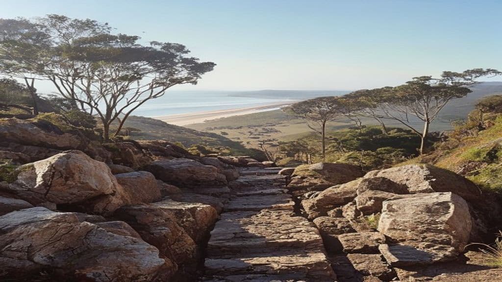
- Decomposed granite - noisy underfoot, easy to skid when rushing downhill.
- Low coastal scrub - sun-baked faster than rainforest canopy walks.
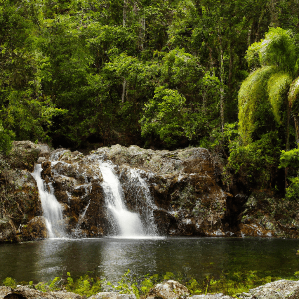
- Tropical tracks after rain - slippery rocks and suddenly runnable creeks.
Match footwear to the worst surface on the loop, not the brochure photo.
Planning checklist (copy/paste)
- Official status: council/QPWS pages for closures and burns.
- Water: more than you expect; electrolytes on hot days.
- Tell someone: intended route and return window.
- Turn-around rule: pick the time you bail before you start.
- Photo backup: screenshot the official map PDF if phone signal dies.
Common mistakes (easy to avoid)
- Chasing sunset on unfamiliar ridges without a torch and spare battery.
- Trusting third-party trail apps for seasonal closures-verify with managers.
- Under-rating humidity-effort levels from temperate climates do not translate 1:1.
Where this hub sits in our wider Queensland coverage
Townsville sits in North Queensland, which is not the same keyword intent as Far North Queensland rainforest peaks or reef-country humidity swings. If you are expanding north along the coast or into wet tropics walking, pair this hub with:
- North Queensland bushwalking - skills, seasons, regions for the bigger regional frame.
- The Best Hikes to Do in Far North Queensland when you specifically want FNQ highlights beyond Townsville.
FAQ
What is the easiest big-view walk near the CBD?
Castle Hill routes vary by track choice; start with our Castle Hill guide and pick a shorter ascent if heat is high.
Are Townsville coastal walks dog-friendly?
Some beaches and suburbs differ from conservation reserves-check signage per precinct rather than assuming.
When should I not hike after rain?
When crossings become unsafe, parks announce closures, or local flooding blocks access roads-do not forge through.
Do I need a car for every hike?
No-Castle Hill is famously workable from town with sensible heat planning. Regional parks often require drives or organised transport.
How is this different from tourism listicles?
We anchor planning on heat, logistics, and honest constraints, then link to route-specific posts on this site rather than duplicating thin blurbs.
What about sunrise photography on ridges?
Rewarding-and slower than you think when swapping lenses in humid gloves-off moments. Start earlier than your sunrise math assumes.