Mount Stuart Hikes: Chasing Views and Hidden Gorges

Published
Last updated
People searching Mount Stuart hike Townsville usually already know Castle Hill and want something wilder: more contour, more shade in pockets, more ways to get into trouble if you confuse enthusiasm with skills. Mount Stuart sits in that mental bucket of Townsville peaks and escarpment country-visible from much of the city, but not a groomed urban reserve loop.
This article is a planning and risk guide. It treats names like Dick Creek Falls and Wulguru Chasm as real places people talk about in trip notes and club conversations-not as a checklist you should attempt because a blog paragraph made them sound exciting. We do not publish GPS breadcrumbs for informal scrambles or off-track corridors. Conditions change with rain, rockfall, and access decisions; check authoritative sources and your own limits on the day.
Where Mount Stuart fits in the Townsville skyline
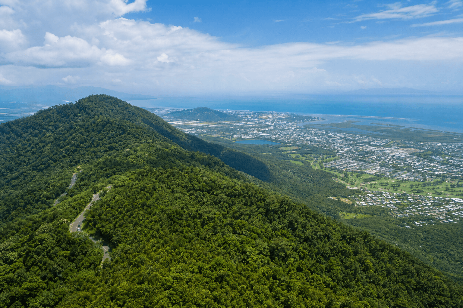
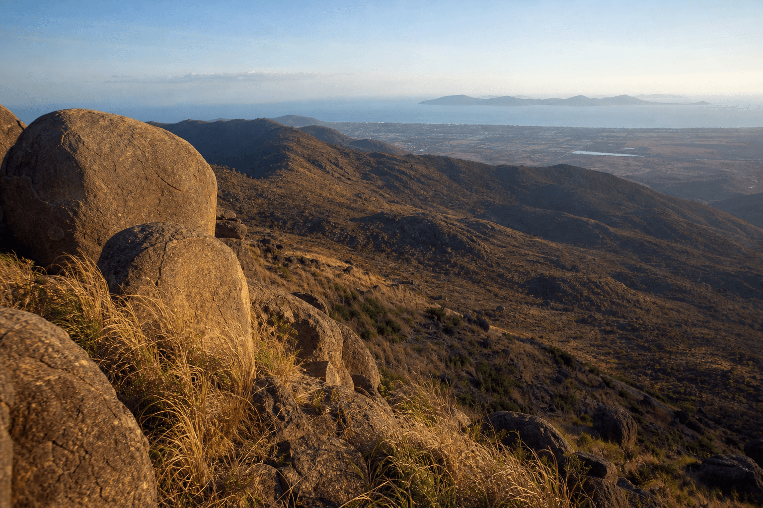
Mount Stuart is part of the backdrop locals use to orient themselves: city lights in front, ridges behind, Magnetic Island to the northeast on clear days. Compared with Castle Hill-mostly council-managed, high-use tracks with predictable access points-Mount Stuart's bush and gorge country typically demands map reading, creek judgement, and patience on rough surfaces.
That contrast matters for pacing: a fit person can "accidentally" complete Castle Hill while under-hydrated. On Stuart country, the same hydration mistake can become a slow emergency when friction disappears on slimy granite or when a creek crossing deepens after upstream storms you never saw.
If you are still building tolerance for heat and hills, start with Beginner hikes in Townsville and treat Mount Stuart objectives as a later-season project, not a spontaneous upgrade.
Terrain you should expect (general)
Mount Stuart's slopes combine:
- Exposed ridges where wind helps until the sun wins.
- Dense scrub and vine thickets where progress is noisy and slower than map scale suggests.
- Granite slabs and boulders that can offer good grip dry, and surprisingly poor grip when humidity and fine grit combine.
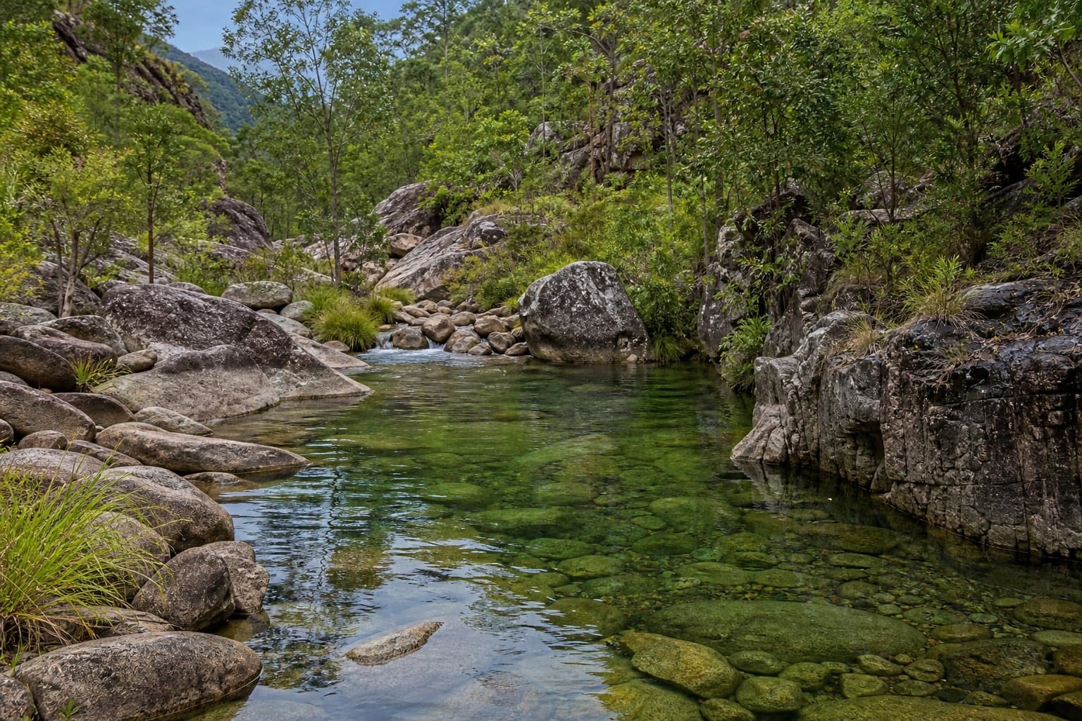
- Creek lines and gullies where stone hops are easy in one season and genuinely hazardous after rain.
The pattern that catches competent day-hikers is creek behaviour: water can rise or colour quickly when catchments upstream get rain; afternoons can turn polished rock into a slide. Treat any gorge objective as conditional on the weather before and during your trip, not only on blue sky above your head.
Dick Creek Falls: what the name actually implies
Dick Creek Falls appears frequently in conversation about Mount Stuart gorge outings. In practice, that label describes steep creek-and-falls terrain where trip reports (including those published by experienced walkers) emphasise effort, exposure, and teamwork rather than a casual "waterfall stop."
If you are researching the falls as a destination:
- Read multiple trip write-ups over time, not one viral post.
- Cross-check rainfall and seasonal closure patterns; "looks fine at the car" does not prove crossings stay stable upstream.
- Prefer learning from The Townsville Bushwalking Club trip culture-reports there often describe decision points, not just hero shots.
Walks description (conceptual, not prescriptive): outings toward Dick Creek Falls terrain typically involve sustained elevation change, rough footing, and sections where spotting partners and clear communication matter. Descents can be as consequential as ascents-plan daylight so you are not improvising navigation in the dark after a slower-than-expected day.
We keep this article non-prescriptive because informal routes, private boundaries, and safety margins shift. If you cannot verify access and safety through official guidance or qualified leadership, your decision should default to not proceeding.
Wulguru Chasm and other named slots
Narrow chasm sections are visually dramatic and cognitively demanding: sideways movement, packs that snag, and the temptation to rush when tired. Groups with mixed experience should discuss turn-around triggers before anyone gets cold or grumpy-agree plain language like "we retrace now," not "maybe after the next corner."
If you read trip reports mentioning chasm moves, translate them into skills homework (movement coaching, first aid refresh) rather than a shopping list of places to tick off.
Skills baseline before ambitious days
Minimum thoughtful standards for serious Mount Stuart terrain include:
- Offline-capable navigation: map, compass, and practice-not only a phone with a GPX trace you have never tested with a flat battery.
- Creek crossing judgment: willingness to stop when water rises or footing fails, rather than "committing" because the group is watching.
- First aid: carry what you know how to use; snake bite bandaging only helps if you have trained recently enough to apply it calmly.
- Comms plan: tell a trusted contact your route intent and late call time; consider devices appropriate to your true remoteness that day.
For conditioning concepts (not medical advice), add Hiking fitness: preparing for North Queensland peaks to your reading list ahead of vertical weeks.
For orientation-level first aid thinking (still not a course), see Wilderness first aid mindset for off-track bushwalking-then book formal training if you plan repeated remote days.
Seasonality and "green looks safe" traps
Wet-season beauty is real: saturated greens, strong flow lines, dramatic sound. It also moves rock, exposes roots unpredictably, and turns benign-looking steps into falls-risk slabs.
Build default habits:
- Start earlier than you think; carry electrolytes on sweat-heavy days.
- Add time buffer on unfamiliar terrain; humidity taxation is not linear.
- Re-evaluate the plan at mid-morning, not only at the trailhead.
Build creek-crossing hygiene even if you only expect "small" channels: unclip waist and sternum straps before committing water; face upstream where helpful; use poles for stability and one crossing at a time so a stumble does not drag a group. If children or short-stature hikers are present, bias heavily toward cancellation-depth changes quickly.
Keep an eye on upstream weather you cannot see: build-ups over distant ranges still rewrite crossings below. When colour, speed, or sound shifts mid-walk, treat that as new information-not noise.
If you are newer to North Queensland bushwalking culture generally, read North Queensland bushwalking - seasons, skills, regions so Stuart objectives sit inside a realistic regional frame.
Equipment: carry like you mean it
A practical baseline for challenging Townsville hinterland walking:
- Footwear with edge grip and enough cushion for long stone transfers-not minimal fashion sneakers.
- Head torch plus spare cells; sidelight helps route-finding if dusk catches you legitimately short.
- Trekking poles for creek approaches if you know how to use them without tripping partners.
- Dry bag discipline for electronics; humidity kills phones faster than altitude.
- Whistle (three blasts as distress signal) if voice fatigue becomes real on a windy spur.
Trail runners occasionally train on Townsville ridges-see Trail running on Townsville peaks only if your risk management already matches rough country; many "running" objectives here are realistically fast hiking.
Ethics: access, respect, and noise
Mount Stuart country intersects with values and protocols of Traditional Owners as well as practical land-management boundaries. Follow signage and gates; treat named places as culturally living landscapes, not as sets for stunts.
Leave rock art, heritage fabric, and vegetation alone-social traction literally erodes access for the next visitor.
Wildlife that rewards calm distance
Snakes belong in this landscape; the lowest-risk encounter is the one you never touch. Step carefully in leaf litter, watch where you place hands on rock, and carry pressure immobilisation bandaging only if you have trained how to apply it. Keep dogs out of national park contexts where they are prohibited-pets also complicate snake encounters and cassowary-zoned habitats elsewhere in your broader North Queensland trips.
Ticks and biting insects can matter in scrubby transition zones-long light layers beat frantic swatting. Check socks and hairlines after dense loops.
Learning from club trip reports (safely)
The Townsville Bushwalking Club publishes trip reports that illustrate how experienced leaders describe pace, terrain surprises, and group decisions after weather shifts. Use those stories to calibrate your risk vocabulary, not as a substitute for skills you have not yet built.
When narrative context helps beyond route tables, Wanderstories can add colour-still verify anything safety-critical against official sources.
Townsville peaks: quick mental map (not a competition)
- Castle Hill: high-frequency training ground; mostly obvious access and massive visitor traffic.
- Magnetic Island day walks: ferry-first logistics; national park rules dominate.
- Mount Stuart hinterland: fewer guardrails; navigation and seasonality dominate outcomes.
Link the peaks sensibly in one trip plan: a humid fortnight of Castle Hill repeats does not magically award gorge judgement-it only earns fitness you can bring to harder decisions.
Related posts on this site
- Castle Hill (Cutheringa) - Townsville - controlled steep metres and etiquette before committing to remote complexity.
- Townsville hikes - planning hub - heat-first planning when stitching city and regional days.
- Trail running in Townsville - pace discipline discussion; apply only where terrain allows.
FAQ
Is Mount Stuart suitable for beginners?
No. Begin on Beginner hikes in Townsville and Castle Hill first.
Can I follow this post as a route card?
No. It is a risk-and-planning frame; verify tracks, closures, and permissions independently.
What about Dick Creek Falls as a first big goal?
Research deeply, read club material, and be willing to cancel when creeks or skills say no.
Do I need a PLB?
If your planned day truly leaves mobile coverage behind and remote rescue timelines apply, many experienced walkers carry a Personal Locator Beacon-learn how to use it before departure.
Where do lightning storms fit in?
Ridges and isolated tall trees are risky in thunderstorms-have a mental "get down" plan. If in doubt, postpone.
How should I research Dick Creek Falls without turning research into recklessness?
Collect trip narratives for decision patterns-where teams turned back, how long segments took in heat, what footwear failed-not for copying a line on a map.
Can I bushwalk Mount Stuart solo?
Experienced people sometimes do; newcomers should bias to groups, courses, or club-led culture until navigation and self-rescue thinking feel boringly automatic.