Grand Canyon track: Blue Mountains National Park guide

Blue Mountains National Park, Blackheath, New South Wales, Australia
Published
Last updated
The Grand Canyon track is a 6.3 km loop in the Blackheath area of Blue Mountains National Park, about 120 km west of Sydney. It drops from the cliff top into a narrow sandstone gorge along Greaves Creek, then climbs back out near Evans lookout. Walkers have used the route since 1907, and it remains one of the more popular half-day walks in the upper Blue Mountains.
NSW National Parks grades the track 3. The distance is modest, but the route has many steps, creek crossings and uneven ledges, so it suits walkers with reasonable fitness and confidence on rough ground rather than young children or anyone unsteady on their feet.
Blue Mountains National Park is on the traditional Country of the Gundungurra and Darug people. The NSW NPWS Grand Canyon track page carries current alerts and the official track notes.
Quick route overview
- Distance: 6.3 km loop
- Time: allow 3 to 4 hours
- Grade: Grade 3
- Route type: circuit from Grand Canyon carpark
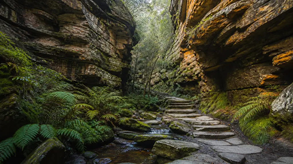
- Terrain: formed track with many stone steps, creek crossings, sandstone ledges and overhangs
- Start: Grand Canyon carpark, Evans Lookout Road, Blackheath
- Access: sealed road from Blackheath township; conventional vehicles fine
What to expect
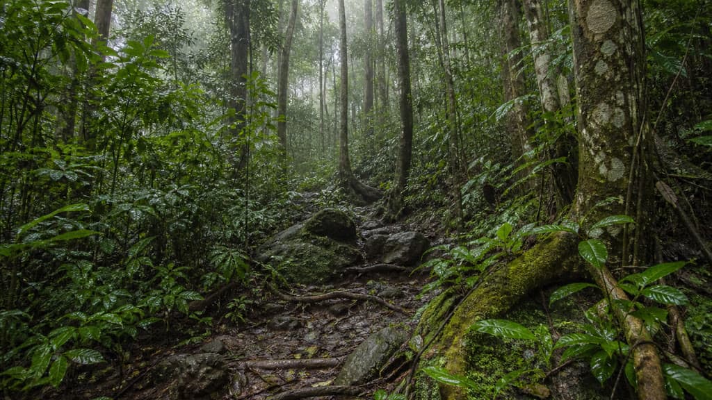
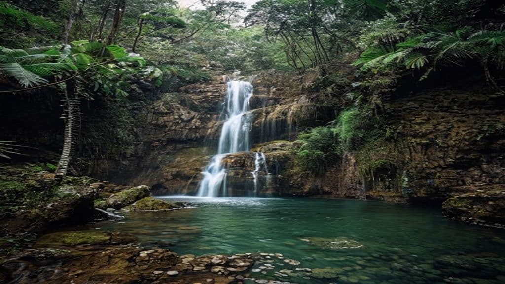
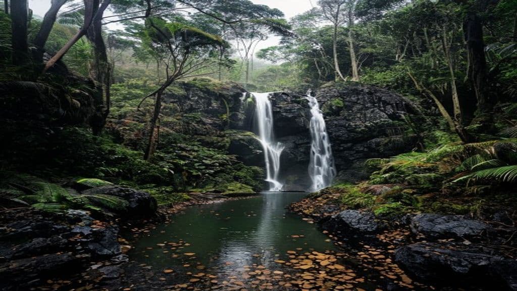
From the carpark the track descends through open eucalypt forest with banksias and mountain devil, then steepens into shaded rainforest as it enters the gorge. Stone steps and switchbacks carry most of the descent. The track then follows Greaves Creek past ferns, mossy boulders and small waterfalls, with sections of overhanging sandstone that the route passes beneath. One short section runs behind a low waterfall at the Rotunda, a rock shelter near the creek.
After the creek section the track climbs back out through fern forest and taller woodland to Evans lookout, where the loop closes back to the carpark. The climb is steady and stepped, and most walkers find it the most demanding part of the day. The lookout gives an open view across the Grose Valley if the weather is clear.
The track is well signposted and easy to follow in good conditions. It is not the technical canyon route that NPWS describes for experienced canyoners - that separate activity needs swimming, scrambling and abseil skills and is not part of this walking track.
Safety and conditions
- Check the NPWS Grand Canyon track local alerts and the weather forecast before you leave. Greaves Creek can flood after heavy rain, and NPWS advises never to walk in a canyon before, during or after heavy rain.
- The gorge stays cool and damp, so stone steps and creek crossings are often slippery even in dry weather. Wear sturdy footwear with grip and take care on wet rock.
- Carry drinking water. Treat or boil any water collected from the creek.
- Mobile reception is patchy inside the gorge. Download the free NSW National Parks app and the park map before you leave, and tell someone your route and expected return time.
- Weather in the upper Blue Mountains changes quickly and is much cooler than Sydney. Carry a warm layer and rain jacket, and check for fire-danger ratings on hot dry days.
- Dogs and other domestic animals are not permitted in Blue Mountains National Park, except certified assistance animals.
Practical tips
Blackheath is on the Great Western Highway and has a train station on the Blue Mountains Line. By car, turn off the highway into Evans Lookout Road and follow it to Grand Canyon carpark. The road is sealed and suitable for conventional vehicles. The carpark fills early on weekends and public holidays, so arrive early in peak periods.
There is no entry fee for the Blackheath area of the park. The $8 per vehicle daily fee applies only to attractions in the Glenbrook area, well to the east. Toilets and picnic facilities are available at nearby Evans lookout and Govetts Leap, not at the Grand Canyon carpark itself.
Allow more time than the bare 3 hours if you want to stop at Evans lookout or link the walk with the Cliff Top walking track. The Blue Mountains Heritage Centre at Blackheath is the local NPWS office for maps and current conditions. For a longer rainforest walk with waterfalls in south-east Queensland, see the Box Forest circuit in Lamington National Park.