Kondalilla Falls circuit: Sunshine Coast hinterland walk guide

Published
Last updated
Kondalilla Falls Circuit is one of the Sunshine Coast hinterland's best short-to-half-day walks. It packs a lot into a relatively modest distance: a rock pool near the top of the falls, a steep descent into lush rainforest, a strong view of the waterfall from below, and a climb back out that feels more serious than the mileage suggests.
That mix is what makes the walk so appealing, but it is also why the track rewards a bit of planning. If you turn up expecting an easy stroll, the stairs, humidity, and slick surfaces can catch you out. If you arrive prepared, it is a rewarding Queensland circuit with plenty of scenery for the effort.
Quick route overview
- Distance: about 4.7 km circuit
- Time: allow around 2 to 3 hours, longer if you linger at lookouts or rock pools
- Difficulty: moderate (Grade 3)
- Terrain: formed dirt track, more than 300 stairs, uneven rock, roots, and often damp surfaces
What to expect on the walk
The walk starts from the Kondalilla Falls Road car park near Montville, with a short downhill approach to the picnic area and track junction. Even before you commit to the full circuit, it is worth remembering that you will need to climb those access stairs again at the end.
From the picnic area, the track passes through subtropical forest toward the rock pools above the falls. This upper section is the easier part of the outing and suits walkers who want a shorter taste of the park without taking on the full circuit.
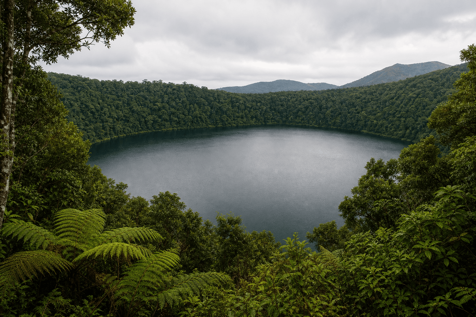
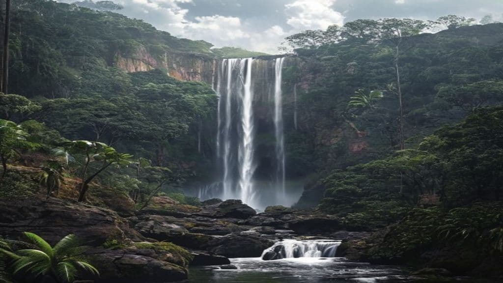
If you continue on the Kondalilla Falls Circuit, the track drops down the escarpment into a greener, more enclosed valley. This is the section that gives the walk its real character. The forest feels cooler, the sounds of water become stronger, and the best view of the falls comes from lower down where Skene Creek drops into the rainforest basin.
The return climb is what most walkers remember. The route heads back up the ridge through bunya pines, piccabeen palms, pink ash, and wet eucalypt forest, with plenty of stairs and a steady uphill rhythm. It is not especially technical, but it can feel hard in warm, humid weather.
Highlights
- A scenic circuit that feels more substantial than its short distance suggests
- Rock pools and creek scenery near the top of the falls
- A dramatic waterfall dropping into a subtropical rainforest valley
- Distinctive Blackall Range vegetation, including bunya pines and piccabeen palms
- Good half-day option if you want a hinterland walk close to Montville
Safety and practical planning
Check official updates before you go:
- QPWS Kondalilla National Park things to do
- QPWS Kondalilla National Park visiting safely
- Kondalilla and Mapleton Falls park map PDF
Important planning notes:
- The track can close in severe wet weather, and creek crossings or steep sections become much riskier after heavy rain.
- Stay behind barriers and away from slick rock around the falls and pools. Waterfall environments are where poor footing turns into major accidents.
- Wear shoes with proper grip. This is not the place for smooth-soled casual footwear.
- Start earlier in the day if you want a quieter walk, easier parking, and less heat on the climb out.
- Supervise children closely because there are stairs, drop-offs, and wet rock throughout the circuit.
- Leave dogs at home. Pets are not permitted in Queensland national parks.
Practical tips for walkers
- Do not judge this walk by distance alone. The stairs and return climb are what set the pace.
- Carry water even in cool weather, because the sheltered valley can still feel humid.
- Pack swimmers only if you are comfortable making your own risk assessment and current conditions are safe enough to justify a dip.
- If you want a more relaxed visit, spend time at the picnic area and upper pools rather than rushing the whole loop.
- For broader regional planning, Visit Sunshine Coast's Kondalilla National Park page is useful, and the Sunshine Coast Bushwalking Club is a good local resource if you want more hinterland walk ideas.
- If you are building a Sunshine Coast walking trip, pair this with the Mount Ngungun Summit track for a very different kind of short climb, or the Noosa National Park coastal walk for a coastal contrast.
Kondalilla Falls Circuit works well because it feels accessible without being forgettable. It is close to Montville, scenic in all seasons, and short enough for a half-day outing, but the stairs and wet-track hazards mean it still deserves a sensible approach. Go early, wear shoes you trust, and give yourself time to enjoy the rainforest rather than just pushing through it.