Mount Cordeaux track: Main Range National Park guide

Published
Last updated
Mount Cordeaux is one of those south-east Queensland walks that feels bigger than its numbers suggest. The return distance is manageable for many regular walkers, but the climb, the mountain weather, and the final exposed lookout give it more character than a standard forest stroll.
Set in the Cunninghams Gap section of Main Range National Park, the track climbs through cool subtropical rainforest before opening onto rocky high country just below the 1,135m peak. The payoff is wide Scenic Rim and Darling Downs views, with Mount Mitchell dominating the southern skyline on a clear day.
Quick route overview
- Distance: 6.8km return
- Time: about 2.5 hours walking time, allow longer for rests, photos, or slower groups
- Difficulty: moderate to hard (Grade 4)
- Terrain: formed dirt track, roots, rock steps, short stair sections, and a rocky lookout area near the end
What to expect on the walk
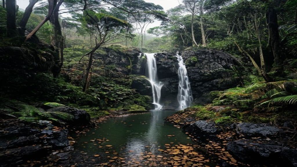
From the Crest car park at Cunninghams Gap, the walk begins on the short Rainforest circuit before branching onto the Mount Cordeaux track. The early section is shaded and pleasant, winding through lush forest with buttressed trees, vines, and birdlife that make the climb feel gentler than it is.
The gradient builds steadily rather than brutally. There are no major scrambles, but the track is rarely flat for long and the roots, leaf litter, and uneven ground mean you need to keep watching your feet. In cool weather it feels like a satisfying half-day climb. In warm or humid conditions it can feel significantly tougher.
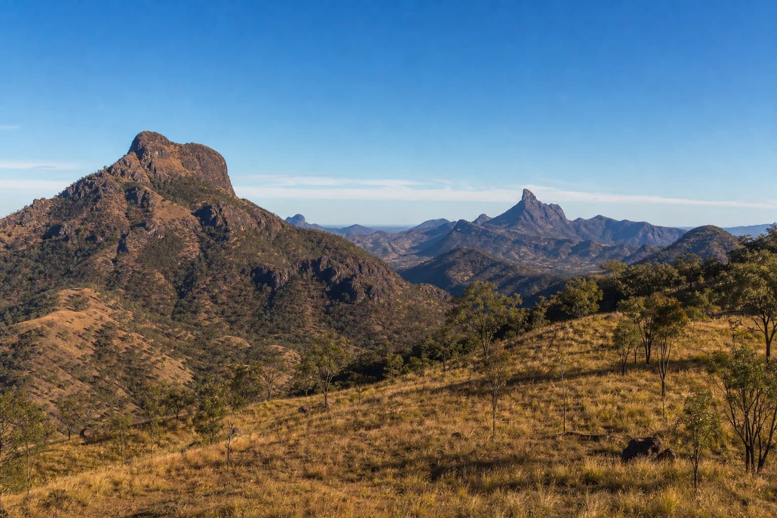
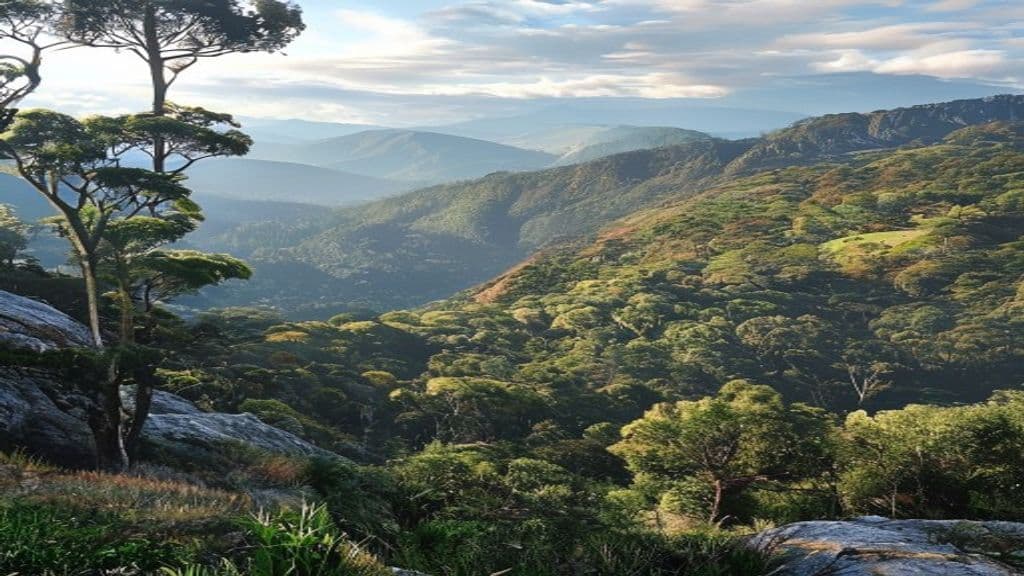
As you gain height, the vegetation starts to change from dense rainforest to more open mountain growth. Near the upper section, you get glimpses through the trees before the track reaches the rocky lookout area below Mount Cordeaux. This is where the walk earns its reputation. The view opens across Mount Mitchell, Spicers Peak, the Fassifern Valley, and the broader Scenic Rim, with the Darling Downs visible to the west when conditions are clear.
You do not reach the true summit of Mount Cordeaux on the standard walking track. The signed lookout just below the peak is the main objective, and for most walkers it is the right turnaround point.
Highlights
- A genuine mountain feel within day-trip range of Brisbane and the Scenic Rim
- Cool subtropical rainforest in the lower section and more open high-country scenery near the top
- Big views to Mount Mitchell, Spicers Peak, the Fassifern Valley, and the Darling Downs
- A walk that feels rewarding without requiring an all-day commitment
- The chance to combine the outing with nearby short walks or a longer day if you continue toward Bare Rock on a separate plan
Safety and conditions
Check official updates before you go:
- QPWS Mount Cordeaux track
- QPWS visiting safely in Main Range National Park
- Main Range National Park map PDF
- QPWS park alerts
Important safety points:
- Conditions change quickly on the range. Low cloud, wind, rain, and cold can make the lookout feel very different from the car park.
- The track is graded 4, so do not treat it as an easy family stroll just because the distance looks moderate on paper.
- Roots, damp leaf litter, and rock steps can be slippery, especially after rain or in heavy mist.
- There are steep drops near the lookout area. Stay behind barriers, supervise children closely, and do not edge out for photos.
- QPWS recommends limiting groups on the Mount Cordeaux track and lookout, so larger groups should split up or choose another plan.
- National park rules apply, which means dogs are not permitted.
Practical tips for walkers
- Start earlier on weekends and during cool-season fine weather, when Cunninghams Gap is especially popular.
- Carry more water than you expect for a 6.8km walk. The climb and altitude can hide how much effort you are putting in.
- Pack a warm layer and rain protection even if the forecast looks reasonable. Range weather is less forgiving than the lowlands.
- Good shoes matter here. You do not need technical gear, but grip and stability make the return descent much more comfortable.
- If you want a longer day, plan the nearby Bare Rock track as a deliberate extension rather than an impulsive add-on once you are already tired.
- For broader park planning, the Main Range National Park guide PDF is useful alongside the live QPWS journey page.
- If you want more local walking context in southern Queensland, Toowoomba Bushwalkers Club is a solid community resource, and Wanderstories is useful for broader trail inspiration.
- If you enjoy rewarding south-east Queensland climbs, the Mount Ngungun Summit track offers a very different sandstone summit experience.
Mount Cordeaux is a strong choice when you want a real mountain walk without committing to an all-day epic. Go with realistic expectations, respect the exposed lookout, and pick a clear day if you can. When the cloud lifts, the views across the Scenic Rim are some of the best you can get from a relatively compact Queensland day walk.