Koonin Lookout walk: Crows Nest National Park guide

Crows Nest National Park, Queensland Country, Australia
Published
Last updated
Koonin Lookout is the longest marked walk in Crows Nest National Park, about 6 km east of Crows Nest and 50 km north of Toowoomba. The return track crosses open eucalypt forest and granite country to a lookout over the gorge known as the Valley of Diamonds. At 4.5 km, it suits walkers after a short half-day outing rather than a demanding mountain walk.
Quick route overview
- Distance: 4.5 km return
- Time: allow 1 hour 30 minutes
- Grade: Grade 3 walking track
- Route type: return walk from the Crows Nest National Park day-use area
- Terrain: natural track through open forest, with slopes, steps and granite outcrops
- Access: sealed road from Crows Nest township; park at the day-use area
What to expect
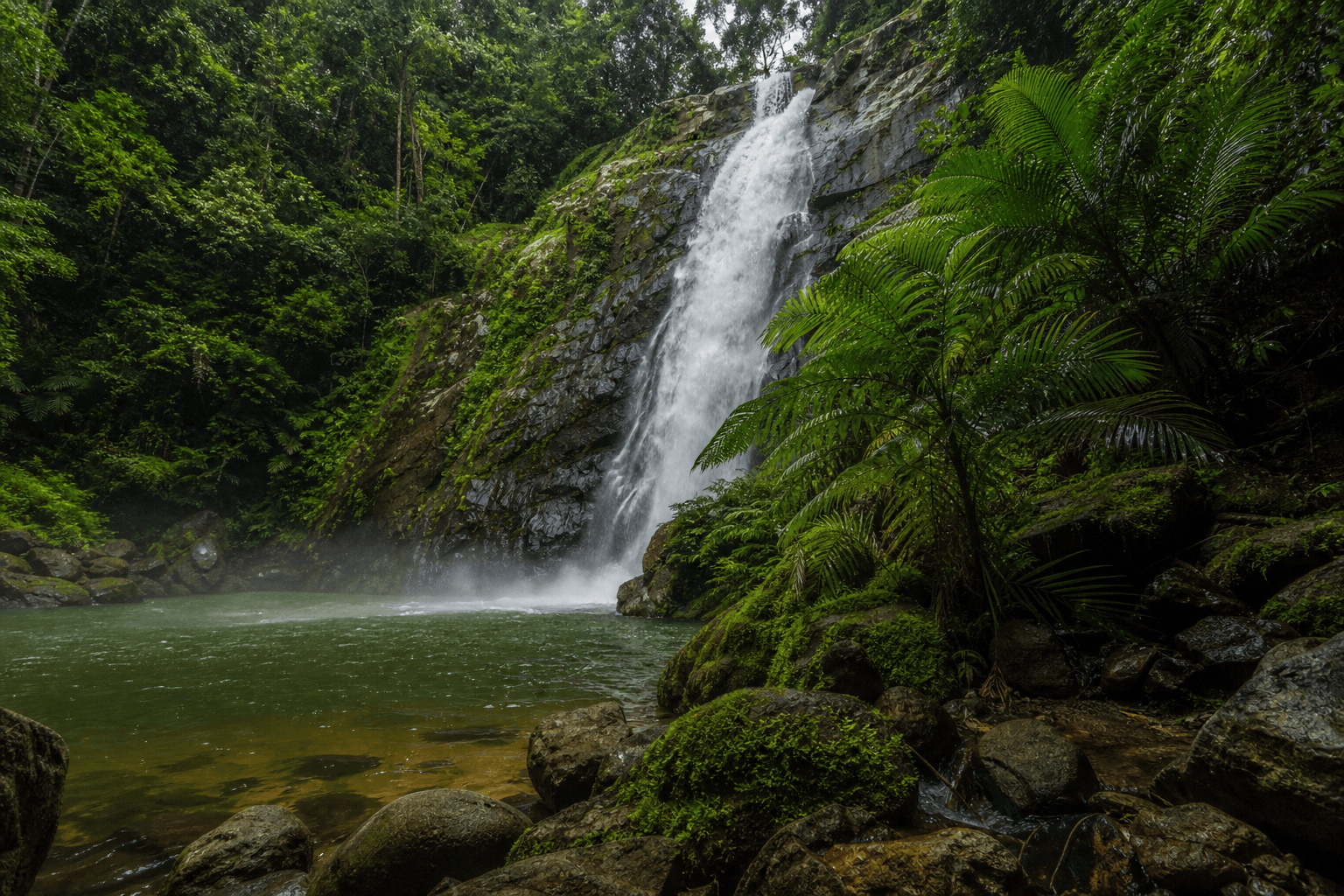
The signed track leaves the day-use area and follows Crows Nest Creek through eucalypt forest. The Crows Nest Falls lookout is reached along the same track, giving a view towards the 20 m falls and the steep-sided waterhole below. Water flow varies with recent rain.
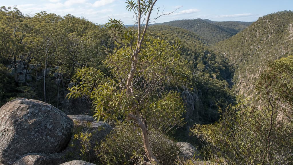
Beyond the falls area, the walk continues through more open forest and rises towards Koonin Lookout. Granite boulders and exposed rock become more prominent near the end. The lookout faces along the wooded gorge and towards the hills around Ravensbourne.
The Grade 3 rating means the route is formed and signposted, but it is not a flat park path. Expect uneven ground and steps, and supervise children near drop-offs and lookout barriers.
Safety and conditions
- Check the QPWS Crows Nest National Park page for current notices before leaving. Heavy rain can flood creek crossings and make rocks and stepping stones slippery.
- Stay behind the barriers at Crows Nest Falls. The waterhole below the falls is a restricted-access area because of rockfall risk.
- Carry drinking water. QPWS advises treating or boiling any water collected in the park.
- Mobile reception is unreliable. Save the park map before the walk and tell someone where you are going.
- Summers are warm to hot and most rain arrives in summer storms. Winters can be cold, so check the forecast and carry a layer that suits the day.
- Dogs and other domestic animals are not permitted in Crows Nest National Park.
Practical tips
Turn off the New England Highway at Crows Nest and follow the sealed road about 6 km to the park. The day-use area has toilets, picnic tables and gas barbecues, but bring your own drinking water.
No booking is needed for the day walk. If you plan to stay overnight, the nearby Crows Nest Falls camping area requires a camping permit and advance payment.
The shorter Crows Nest Falls lookout walk and Kauyoo Loop share parts of this track, so read junction signs rather than following other walkers. QPWS safety advice and access details are on its visiting safely page, while Toowoomba Regional Council's walking guide lists the official distance, time and grade.
For another inland forest walk, the Barker Creek circuit is a longer day in Bunya Mountains National Park. The Mount Cordeaux track is a steeper south-east Queensland lookout walk.