Mount Coolum summit walk: Sunshine Coast guide

Published
Last updated
Mount Coolum is one of those Queensland walks that can fool people from the car park. On paper, the distance looks short enough to treat casually, but the climb is steep, the surface can be loose, and the exposed summit gives it more bite than many longer coastal walks.
What makes the track so rewarding is how quickly the scenery changes. In less than 1km each way, you move from open woodland into rocky upper slopes and low summit heath, then step out onto broad views over the Sunshine Coast coastline, lowlands, and hinterland.
Quick route overview
- Distance: 1.6km return
- Time: allow about 2 hours return
- Difficulty: hard for a short walk (Grade 4)
- Terrain: formed summit track with steep rocky sections, natural rock steps, loose gravel, and exposed lookout areas
- Start point: Jarnahill Drive trailhead near Tanah Street West, Mount Coolum
What to expect on the walk
From the Jarnahill Drive car park, the track starts clearly and does not waste much time before pointing uphill. The lower section moves through open forest and feels manageable at first, but the gradient builds quickly and stays honest for most of the climb.
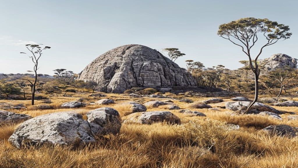
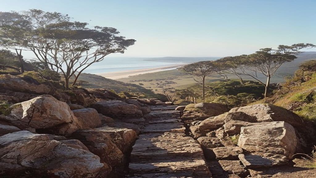
This is an ancient volcanic dome rather than a long ridgeline walk, so the route is short, direct, and leggy. As you gain height, the track passes over rocky steps and rough stone sections that give the walk some character. In dry weather it is straightforward for fit walkers. In wet weather, it is a different proposition altogether and is best avoided.
Near the upper section, the vegetation becomes lower and more exposed. Mount Coolum's summit supports rare montane heath, and the views start opening toward the coast, the Sunshine Coast lowlands, and the hinterland. On a clear day, you can pick out Point Cartwright and the Glass House Mountains to the south, the Blackall Range to the west, and Noosa Heads to the north.
The summit itself is the obvious turnaround point, but do not rush the descent. Going down is where the loose gravel and rock can catch people out, especially if legs are tired or shoes have poor grip.
Highlights
- A short climb that still feels like a proper workout
- Wide summit views over the coast, lowlands, and hinterland
- An ancient volcanic dome with interesting rocky terrain underfoot
- Rare summit heath and noticeable vegetation changes over a compact distance
- Easy to fit into a broader Sunshine Coast day without committing to a full-day hike
Safety and conditions
Check official updates before you go:
- QPWS Mount Coolum summit walk
- Mount Coolum National Park overview
- Mount Coolum National Park map PDF
- QPWS park alerts
Important safety points:
- Walk in fine weather only. QPWS warns that the track becomes extremely slippery when wet.
- Carry water and sun protection. The climb is exposed enough to feel much hotter than the distance suggests.
- Keep children close near the summit and stay within defined viewing areas around exposed edges.
- Stay on the formed track to protect rare plants and avoid unnecessary erosion.
- National park rules apply, so dogs are not permitted on the walk.
Practical tips for walkers
- Start early on warm days and busy weekends. Mount Coolum is popular, and the climb is far more pleasant before the heat builds.
- Wear shoes with solid grip. This is not a technical walk, but the descent is much more comfortable in footwear you trust.
- Take short breaks on the way up rather than pushing too hard early. The walk is short enough that a steady pace usually works better than sprint-and-stop climbing.
- If you want broader visitor planning context, Visit Sunshine Coast's Mount Coolum page is useful alongside the official park information.
- For more local walking context, the Sunshine Coast Bushwalking Club is a useful community resource, and Wanderstories is good for broader hiking inspiration.
- If you want another Sunshine Coast walk with a very different feel, the Noosa National Park coastal walk gives you a longer headland outing, while the Mount Ngungun Summit track is another strong short summit option.
Mount Coolum is proof that a short walk can still demand respect. Go in dry weather, start earlier than you think you need to, and treat the descent as carefully as the climb. On a clear day, it is one of the most rewarding compact hikes on the Sunshine Coast.