Peak Range National Park Trails: Wolfang Peak, Lord's Table Mountain and Anvil Peak, and Mount Pollux, Mount Castor, and the Gemini Mountains

Published
Last updated
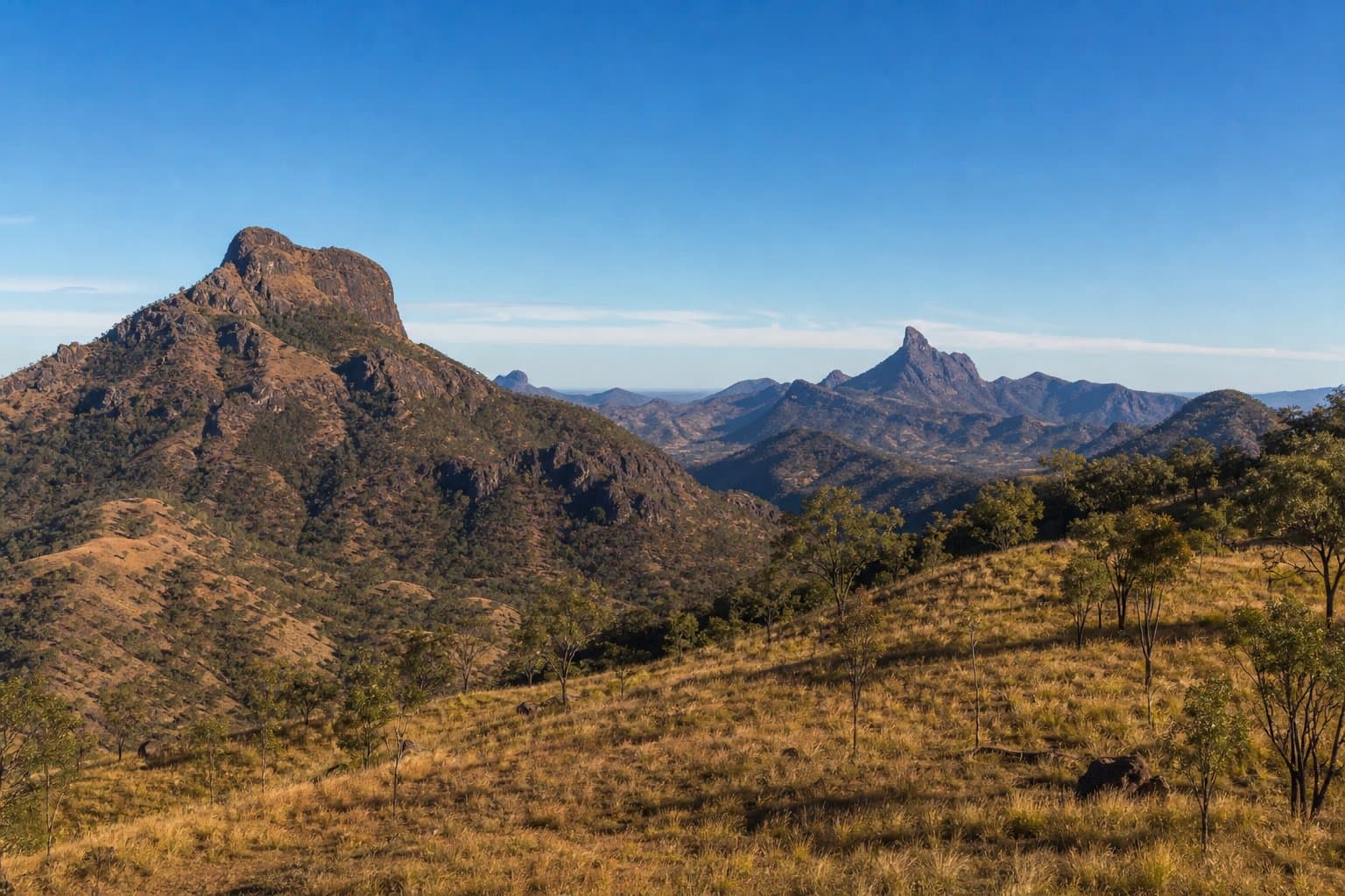
Peak Range National Park belongs in Central Queensland road-trip planning-not Far North Queensland keyword buckets. The park's sharp volcanic remnants include Wolfang Peak, Eastern Peak (sometimes bundled in informal "Anvil" nicknames in regional writing-verify on your map source), Lord's Table Mountain, and the Gemini Mountains area featuring Mount Castor and Mount Pollux as prominent twin-style summits in many descriptions. Local and tourism literature sometimes uses informal nicknames; always verify toponyms on current official maps before navigating.
Management and visitor descriptions emphasise remote, low-facility settings. Public materials frequently note limited or absent formal walking-track infrastructure in parts of the estate-treat any online "GPS line" as unverified unless you cross-check with Queensland Parks, Isaac Regional Council visitor guidance, and contemporary access rules.
Start with authoritative pages
- Isaac Regional Council - The Peak Range National Park - high-level visitor context in the regional tourism frame.
- Departmental background and spatial facts appear on resources such as Peak Range National Park - facts and maps (Queensland Government wetlandinfo).
- For management history and zoning insights, the public management statement PDF can be heavy reading but anchors serious planners.
Do not treat third-party forums as permission to cross lease lines, closed sections, or unstable rock.
Wolfang Peak - why it dominates search
Tourism copy often highlights Wolfang Peak as the most sought-after viewpoint in the group-expect rough access realities, not groomed national-park stairs. If literature references fireline or lease considerations, interpret that as access politics, not a challenge to bypass rules.
Lord's Table Mountain and dry rainforest patches
Lord's Table Mountain anchors dry rainforest values within the range-photographically subtle compared with Wet Tropics humidity psychology, but ecologically significant. Heat exposure can still punish hikers who copy Lamington pacing charts.
Gemini Mountains (Castor and Pollux)
The Gemini Mountains grouping often pairs Mount Castor and Mount Pollux in bushwalking storytelling. Route difficulty varies by approach legality-research tenure and closure notices before committing fuel days.
Eastern Peak
Eastern Peak appears as a named section alongside the other massifs-again, verify access and whether any proposed route remains lawful and within your skills envelope.
Skills and ethics
Navigation-heavy peak scrambling in Central Queensland heat demands water discipline, first aid training, and conservative turn-around rules. If your party mixes experience levels, agree in plain language that one veto stops the day.
Cross-read Hiking fitness: preparing for North Queensland peaks for conditioning parallels-even though Peak Range sits outside Townsville's daily heat profile, humidity return still matters when you travel back north.
FAQ
Is Peak Range a "Townsville day hike"?
Distance and drive time usually make it a dedicated trip-plan sleep and fuel honestly.
Why isn't this a turn-by-turn route guide?
Access and track legalities shift; publishing ad-hoc GPS insults land managers and invites rescues.
Does Hike & Explore cover every named pinnacle?
Only where public, lawful, and responsibly describable-when in doubt, ask QPWS/Isaac channels.