Carnarvon Gorge Main Track: Central Queensland walk guide

Published
Last updated
Carnarvon Gorge Main Track is one of Queensland's great long day walks. It is not especially technical, but it is a serious outing because of the distance, the repeated creek crossings, and the remote feel once you are deep in the gorge.
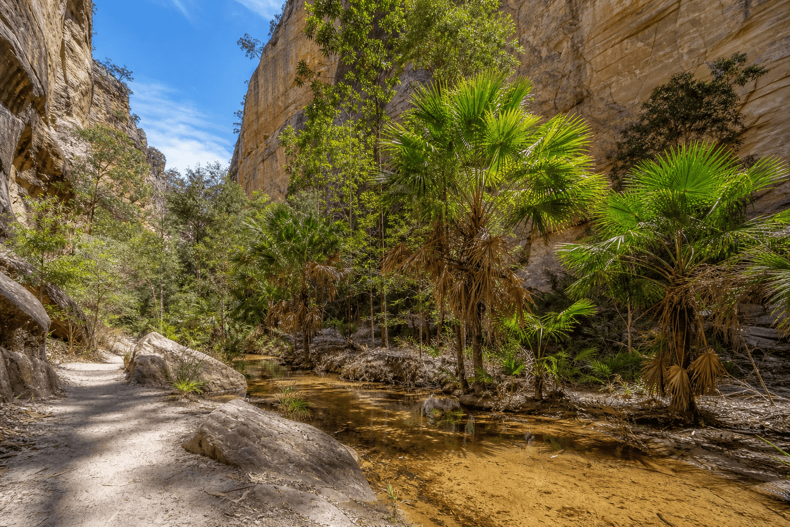
For walkers who are fit, organised, and happy to spend most of the day on foot, the reward is excellent. You get towering sandstone walls, shady creek sections, Carnarvon fan palms, and a real sense of travelling through one of the state's most distinctive landscapes.
Quick route overview
- Distance: 19.4 km return to Big Bend from the visitor area, plus extra distance for side trips
- Time: allow about 8 hours for the main track, longer if you add side gorges and lookouts
- Difficulty: moderate to hard (Grade 4)
- Terrain: formed bush track with rocky sections, uneven stone, sandy patches, and multiple creek crossings
What to expect on the walk
The track starts at the Carnarvon Gorge visitor area and follows Carnarvon Creek deeper into the gorge. For much of the day, the walking is comparatively gentle in gradient, but the repeated crossings and long mileage make the route more tiring than it can appear on paper.
This is the kind of walk where pacing matters. Strong walkers can cover the distance comfortably, but groups that stop often, spend time at side attractions, or move cautiously on crossings should expect a longer day.
A good strategy is to decide early whether Big Bend is your main objective or whether you want to build in side trips such as the Moss Garden, Amphitheatre, Ward's Canyon, or the Art Gallery. Trying to do everything in one push can turn a memorable day into an overcommitted one.
Highlights
- Towering white sandstone cliffs and broad gorge scenery
- Carnarvon Creek crossings that break up the walk and keep it interesting
- Endemic Carnarvon fan palms, cycads, ferns, and shady creekside vegetation
- Optional detours to narrow side gorges and significant Aboriginal rock art sites
- A strong sense of journey as the gorge narrows toward Big Bend
Safety and practical planning
Check official updates before your walk:
Important planning notes:
- Start early and carry enough water, food, and electrolytes for a full-day walk
- Creek crossings can become slower and more slippery after rain, even when the main track itself looks straightforward
- Mobile coverage can be unreliable, so do not depend on your phone for all navigation or emergency planning
- Stay on marked tracks, respect closures, and never touch or climb on cultural heritage sites such as rock art areas
- In warmer weather, heat and afternoon storms can make the return walk feel much harder than the first half of the day
If you want to build broader outdoor safety skills before longer remote walks, Wilderness First Aid: Essential Skills for Off-Track Bushwalking is a useful companion read.
Practical tips
- Wear footwear you trust on wet rock and uneven creek approaches
- Pack lunch, snacks, and a dry bag or zip pouch for electronics at crossings
- Use the visitor area toilets and drinking water before you set off, because the day feels longer once you are committed to the gorge
- Allow extra time for side trips rather than treating official times as a guarantee
- Walk to your furthest planned point first, then explore shorter detours on the return if energy and daylight allow
- Book nearby camping or accommodation ahead in busy periods so you are not starting the walk after a long same-day drive
For walkers who want a big, scenic Queensland day out without technical climbing, Carnarvon Gorge Main Track is easy to recommend. Just give it the respect that long distance and remote country deserve.