Kings Canyon Rim Walk: Watarrka National Park guide

Watarrka National Park, Red Centre, Northern Territory, Australia
Published
Last updated
The Kings Canyon Rim Walk is the main walking track in Watarrka National Park, on the western edge of the George Gill Range in the Northern Territory's Red Centre. It climbs to the top of the canyon, follows the rim around, and descends back to the car park in a 6 km clockwise loop. Parks NT grades it 4 (moderate to difficult) and lists 3 to 4 hours, so it suits walkers with reasonable fitness who are steady on steep steps and uneven sandstone.
Watarrka is the Luritja name for Kings Creek and Canyon, and for the umbrella bush (Acacia ligulata) that grows here. The park is a living cultural landscape for the Anangu ngurraritja, the Traditional Owners, and the canyon and its waterholes remain places of ceremony and Tjukurrpa (the Dreaming). The Parks NT Watarrka National Park page and its short walks page carry the official track notes and current alerts.
Quick route overview
- Distance: 6 km loop
- Time: 3 to 4 hours
- Grade: Grade 4 (moderate to difficult)
- Route type: one-way clockwise loop, marked with blue arrows
- Terrain: formed track, stairs and boardwalk, steep opening climb, uneven sandstone on the rim
- Start: Kings Canyon car park, end of the sealed Kings Canyon Access Road
- Access: sealed Luritja Road, suitable for 2WD vehicles
What to expect
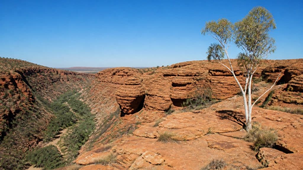
The walk opens with a steep, sustained climb up stairs on the canyon wall. Parks NT calls this the hardest part of the track and the main reason it is graded 4. Once on top, the gradient eases and the track follows the rim north through weathered sandstone domes known as the Lost City.
A short side track leads to Cotterill's Lookout, a viewpoint over the gorge and the plain below. Further along the loop is the Garden of Eden, a permanent waterhole fringed by riverine vegetation about halfway around. The waterhole holds cultural significance for Traditional Owners and is important for wildlife, so swimming is not permitted. Stay on the boardwalk around it to protect the fragile vegetation.
From the waterhole the track descends through more domed sandstone back to the car park. Stairs and boardwalk have been built along the harder or more sensitive sections, but the surface between them is bare sandstone and gravel that is rough underfoot and slippery after rain.
Safety and conditions
Check the Parks NT Watarrka alerts and the Bureau of Meteorology forecast before you drive out. The Red Centre is remote and conditions change quickly.
- Heat rule: on days when the forecast for Watarrka is 36 degrees Celsius or above, you must start the Rim Walk before 9 am. Rangers do not allow later starts. In the hotter months (October to April) consider the shorter Kings Creek Walk instead and stay off the rim in the middle of the day.
- Carry at least 3 to 4 litres of water per person, sun protection, and a hat. There is no shade on the rim and no water along the track.
- The rim is exposed sandstone with unprotected cliff edges. Stay at least 2 m back from the edge, keep children close, and never throw rocks over the rim - people may be below.
- Wear sturdy footwear with grip. Sandstone and metal stairs are slippery when wet.
- Mobile reception is unreliable. Download the park page and an offline map before you go, and tell someone your plan.
- Camping, fires, and firewood collection are not permitted in the park. Pets are allowed on a leash in the Kings Canyon car park only, not on the walk.
- A drone permit from Parks NT is required if you plan to fly.
Practical tips
A valid NT Parks Pass is required for each visitor and must be arranged before you arrive. Buy one through the Parks NT passes page.
Watarrka sits about 450 km south-west of Alice Springs and 3 to 3.5 hours from Yulara (Uluru) via the sealed Lasseter Highway and Luritja Road, which suits a 2WD. From Alice Springs, the Stuart Highway south then Luritja Road is also sealed. Ernest Giles Road is the 4WD alternative. Fuel up before you leave - the nearest supplies are at Kings Canyon Resort, about 10 km from the car park.
The Kings Canyon car park has toilets and picnic tables but no drinking water or bins, so carry everything in and out. There is no camping inside the park; Kings Canyon Resort and the privately run camps nearby are the closest places to stay, and both fill early in the cooler months.
Start at first light in warmer weather to be off the rim before the heat rule kicks in, and start early in winter as well to make the most of the short walking day. For a shorter option from the same car park, the Kings Creek Walk (Grade 2, 2.6 km return, about 1 hour) runs along the canyon floor to a lookout, and the South Wall Return (Grade 3, 4.8 km return, about 2 hours) climbs the south wall to the one-way gate where Rim Walk walkers continue. The Giles Track is a longer overnight option linking Watarrka to Kathleen Springs.
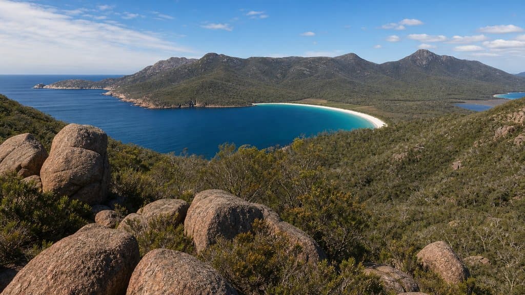
For company or local knowledge in the Red Centre, the Central Australian Bushwalkers Association runs regular day and overnight walks out of Alice Springs. For another Australian canyon walk on a formed track, see the Grand Canyon track in the Blue Mountains, and for a short steep climb to a famous lookout, the Wineglass Bay Lookout walk in Tasmania is a similar half-day proposition.