Mount Oberon summit walk: Wilsons Promontory National Park guide

Wilsons Promontory National Park, South Gippsland, Victoria, Australia
Published
Last updated
Mount Oberon is the 558 m granite peak that rises above Tidal River in Wilsons Promontory National Park, about three hours' drive south-east of Melbourne. The summit walk climbs from Telegraph Saddle to a rocky top with a full 360-degree outlook over the coast, the river and the offshore islands. Parks Victoria grades the track 4, and it suits walkers with reasonable fitness who are steady on steps and exposed rock rather than young children or anyone uncomfortable near unprotected cliffs.
Wilsons Promontory is an Aboriginal cultural landscape significant to the Boonwurrung, Bunurong and Gunaikurnai Traditional Owners, who know the promontory as Yiruk or Wamoon. The Parks Victoria Mount Oberon walk page carries the official track notes and current alerts.
Quick route overview
- Distance: 6.8 km return
- Time: allow about 2 hours return
- Grade: Grade 4
- Route type: return from Telegraph Saddle carpark
- Summit: 558 m
- Terrain: management vehicle track for most of the climb, then a steep final 100 m of timber and granite steps to a rocky summit
- Start: Telegraph Saddle carpark, Wilsons Promontory National Park
- Access: sealed park roads; conventional vehicles fine
What to expect
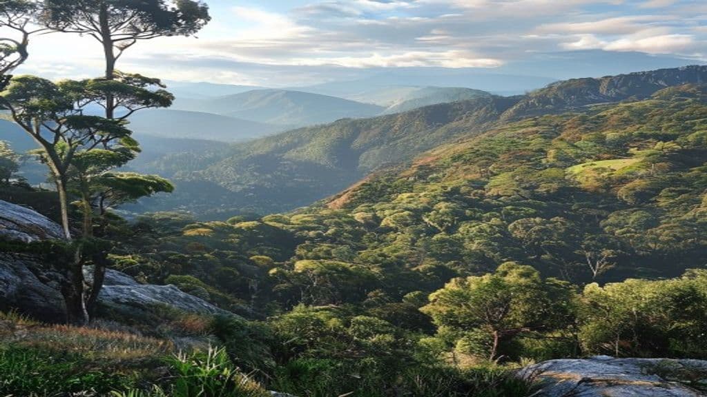
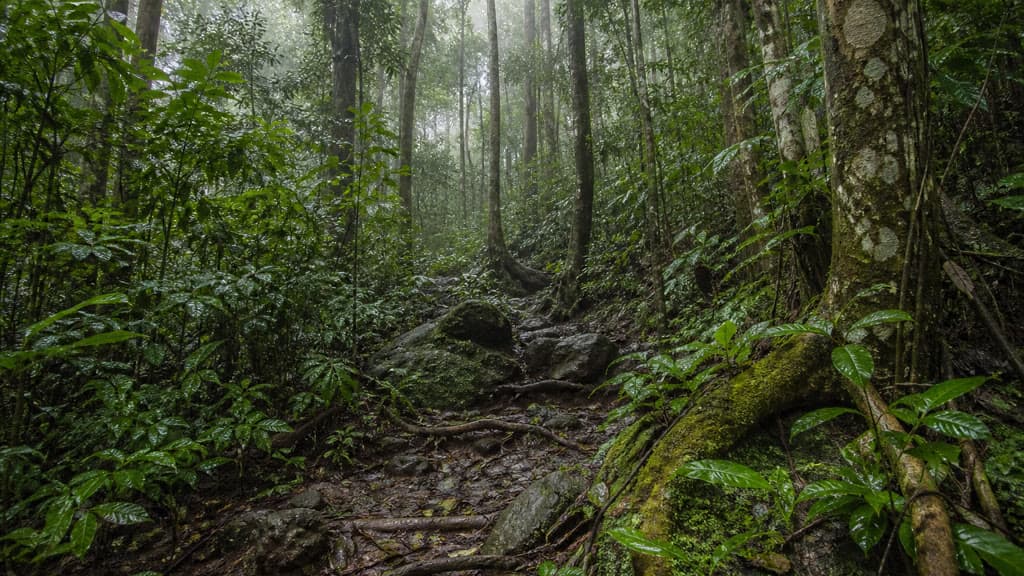
The track follows a management vehicle track uphill through tall eucalypts, climbing steadily rather than steeply for most of the way. Bench seats are spaced along the route, and the surface is wide and even enough that the main demand is fitness, not footing. The forest opens out near the top, where the final 100 m turns onto timber and granite steps up to the summit rocks.
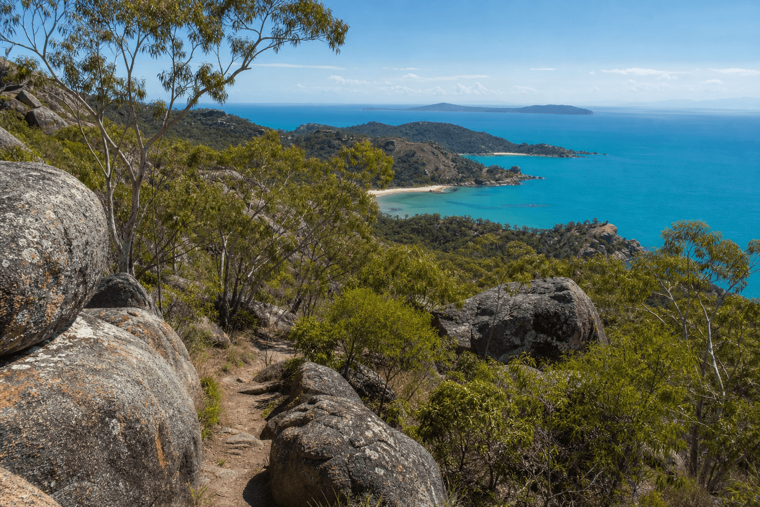
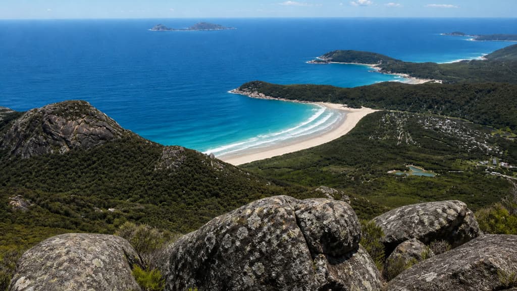
The summit is a small granite platform with unprotected edges and a wide panorama. To the west you look over Norman Beach and Tidal River to the offshore islands; closer in, Little Oberon Bay, Norman Bay, Leonard Bay, Picnic Bay and Whisky Bay string along the coast. On a clear day you can trace the coastline south towards the southernmost tip of the Australian mainland. Cloud and wind often sit on the top even when the carpark is warm and sunny, so the view is never guaranteed.
The same route returns to Telegraph Saddle. The descent is straightforward, but the granite steps and summit rocks are slippery after rain.
Safety and conditions
- Check the Wilsons Promontory National Park page and the weather before you leave. Temporary traffic management and delays are expected at the park entrance from 31 August to 20 November 2026 as part of the Prom Sanctuary works, so allow extra travel time.
- The summit has unprotected cliffs. Stay back from edges, keep children close, and do not climb onto rocks for a photo.
- Granite boulders and steps are slippery when wet. Walk in fine weather if you can, and slow down on the final climb.
- Even in summer the summit can be windy, cool and clouded. Carry a warm layer and a rain jacket, and take sun protection for the exposed top.
- Carry your own drinking water. Mobile reception is unreliable on the summit.
- Dogs and other pets are not permitted in Wilsons Promontory National Park, except assistance dogs that meet Parks Victoria's entry requirements. Fires are not permitted anywhere in the park.
Practical tips
Wilsons Promontory is about three hours' drive south-east of Melbourne via the South Gippsland Highway, turning off at Meeniyan or Foster. The road into the park is sealed and suitable for conventional vehicles.
Telegraph Saddle carpark closes to private vehicles during summer school holidays, Easter, and on weekends from November to April. When it is closed, a free shuttle bus runs between Tidal River and Telegraph Saddle, with timetables posted at the Tidal River Visitor Centre and the departure points. Outside those peak periods you can drive to the carpark, where there are toilets but no other facilities.
Day walking needs no booking. Camping and roofed accommodation at Tidal River are popular and must be booked ahead through Parks Victoria. For maps and current conditions, see the Wilsons Promontory National Park page, and the Parks Victoria day walks list for other Prom routes. The Melbourne Bushwalkers run regular trips to the Prom if you want company or local knowledge.
For another short coastal summit with a steep finish, the Mount Coolum summit walk on the Sunshine Coast is a similar half-day proposition, and the Noosa National Park coastal walk is a longer headland alternative.