Mt Tennent walk: Namadgi National Park guide

Namadgi National Park, Australian Capital Territory, Australia
Published
Last updated
The Mt Tennent walking track is a steep return climb in Namadgi National Park, about 40 minutes' drive south of Canberra via Tharwa. Parks ACT grades the track 4 and lists it at 15 km return to the summit, with about 6 hours walking. It suits walkers with solid bushwalking fitness who are steady on a long, rocky climb, rather than anyone after a short stroll or a first long walk. A shorter turnaround at Cypress Pine Lookout (4.5 km return, 2 hours) is a good option if you want views without the full climb.
Namadgi National Park is on Ngunnawal Country, and the park is cooperatively managed by the ACT Government and Ngunnawal Traditional Custodians. The Parks ACT Namadgi walking tracks page carries the official track notes and current alerts.
Quick route overview
- Distance: 15 km return to the summit (4.5 km return to Cypress Pine Lookout)
- Time: allow about 6 hours to the summit (2 hours to Cypress Pine Lookout)
- Grade: Grade 4
- Route type: return (there and back)
- Summit: about 1,375 m, with around 800 m of climbing
- Terrain: formed track and stone steps through eucalypt woodland, then a steep, rocky climb to an exposed summit
- Start: Namadgi Visitor Centre carpark, Naas Road, Tharwa
- Access: sealed roads all the way from Canberra via Tharwa; about 40 minutes from the city centre
What to expect
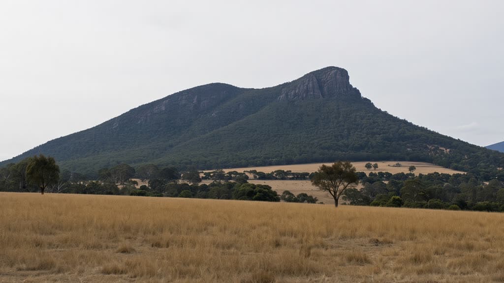
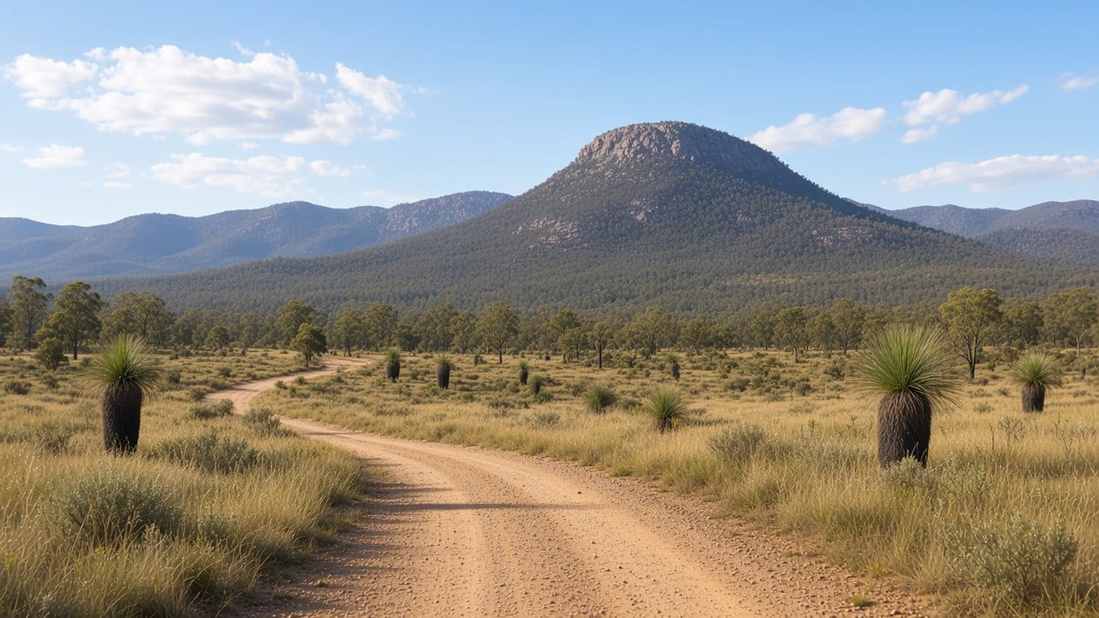
The walk begins along the short Woodland Walk from the visitor centre and joins the Mt Tennent Track, climbing steadily through dry eucalypt forest with grass trees and granite boulders. After a little over 2 km the track reaches Cypress Pine Lookout, a rocky viewpoint over the Naas Valley and the visitor centre below. This is the natural turn-around for a shorter day walk.
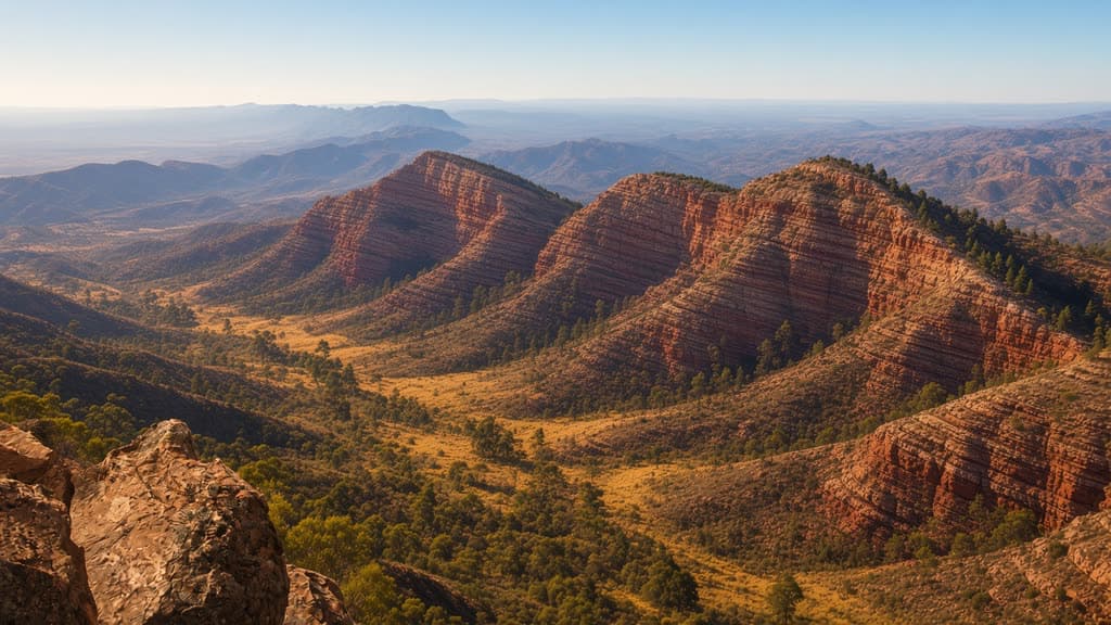
Above the lookout the track steepens onto the mountain's shoulder and meets the Mt Tennent fire trail for the final pull to the summit. The surface is rough and rock-strewn for much of the way, with stone steps on the steeper sections. The summit (about 1,375 m) carries communications towers, but the views are the reason to come: Canberra and the Murrumbidgee valley to the north-east, the Brindabella Range to the west, and the Bimberi Wilderness and the main Alps to the south. The Mt Tennent track is the northern end of the Australian Alps Walking Track, which begins at the Namadgi Visitor Centre and runs about 650 km south through the high country.
The same route returns to the visitor centre. The descent is quicker but hard on tired knees, and the rock is slippery after rain.
Safety and conditions
- Check the Parks ACT alerts page and the weather before you leave. Conditions in the ranges change quickly.
- The summit is exposed and often windy. Carry a windproof and warm layer even on a warm day at the car park.
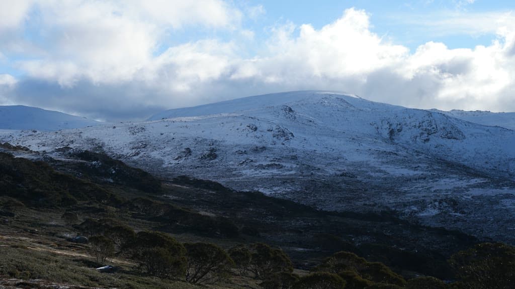
- Snow and ice are possible on the upper track in winter. Check the forecast and avoid the walk in poor weather; the rock is slippery when wet.
- Summer days can be hot on the lower slopes. Start early or pick another walk on hot, windy days, and carry plenty of drinking water.
- Mobile reception is unreliable on the track. Tell someone your plan, sign the walk register at the trailhead, and call in at the visitor centre for the latest conditions.
- Wear sturdy footwear with grip. The track is steep and rocky for long stretches.
- Dogs and other pets are not permitted in Namadgi National Park.
Practical tips
Admission to Namadgi National Park is free and no park pass is required. The Namadgi Visitor Centre has toilets, drinking water, snacks and maps, and is the best place to check road and track conditions before you set off. The car park inside the gates closes at about 4:30 pm; if you may be out later, use the small after-hours car park in front of the gate so your vehicle is not locked in.
From Canberra, drive south through Tuggeranong to Tharwa, cross the Tharwa Bridge and continue about 2.5 km along Naas Road to the visitor centre. The road is sealed all the way. There is no drinking water on the track, so carry enough for a full day.
The walk is most comfortable from spring to autumn, when the days are longer and the upper track is usually clear of snow. Winter brings short days, cold wind and the chance of ice on the summit. Summer can be hot and dry, so start early and avoid the middle of the day. The Orroral Valley campground is the closest place to stay overnight if you want to spread the trip over two days; bookings are essential.
For another Grade 4 summit climb with wide views, the Pigeon House Mountain (Didthul) walk on the NSW South Coast adds steel ladders to a shorter climb, and the Bluff Knoll summit walk in Western Australia is a steeper climb to a higher peak. The Canberra Bushwalking Club runs regular trips across Namadgi and the Brindabellas if you want company or local knowledge.