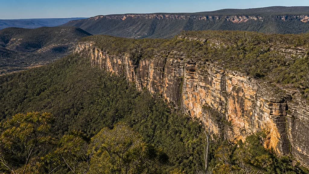
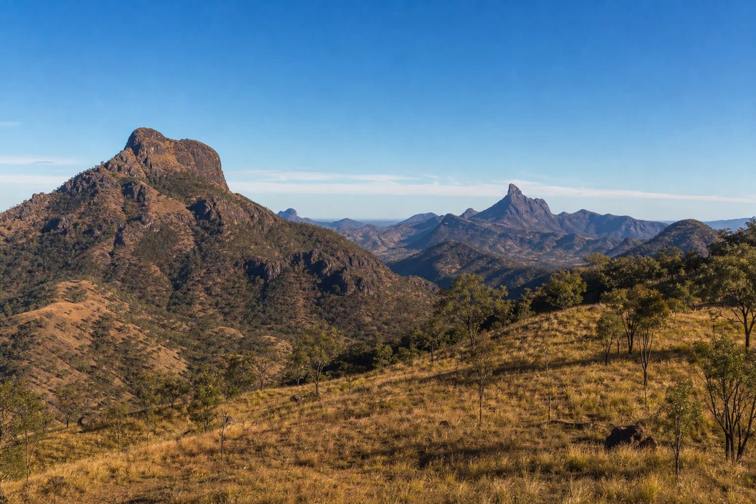
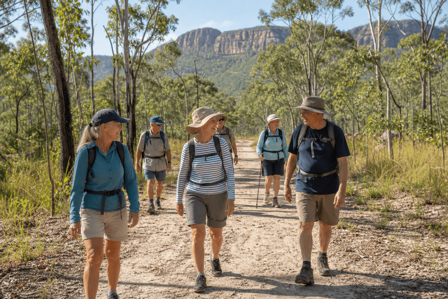
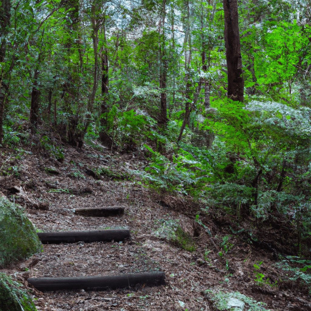
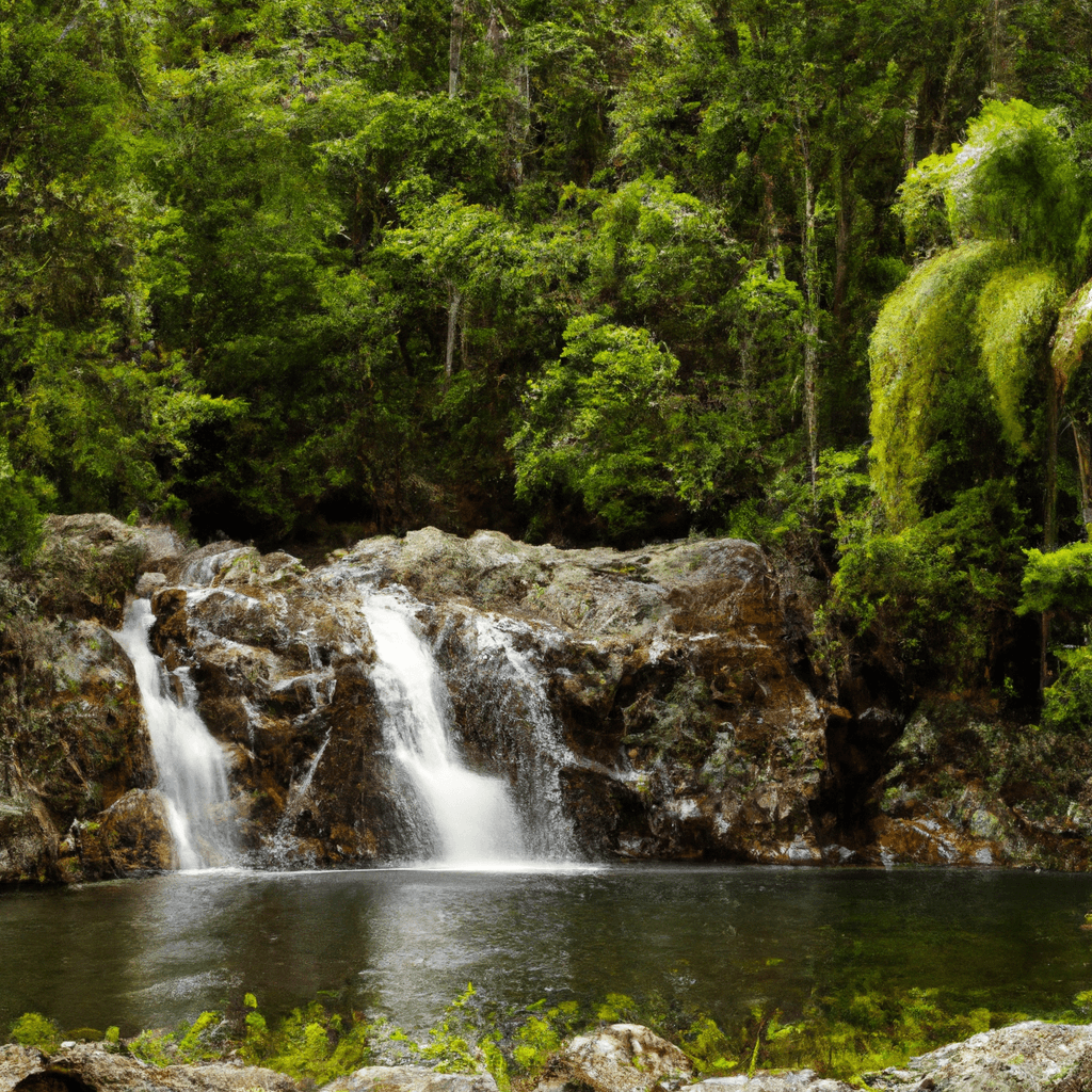
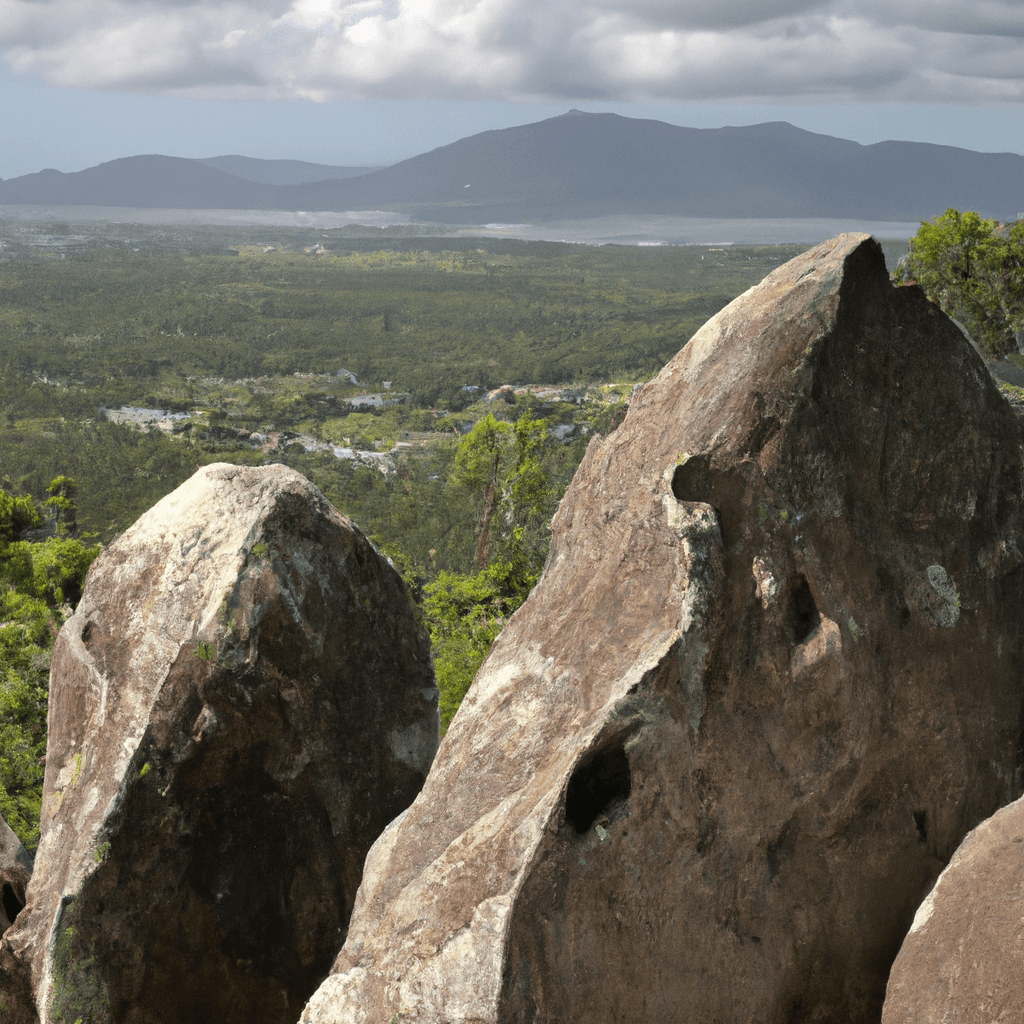
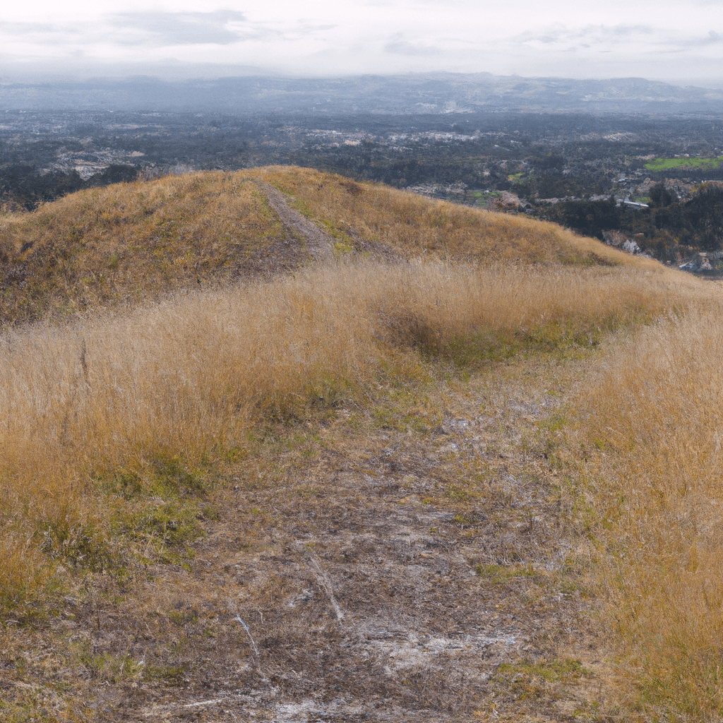
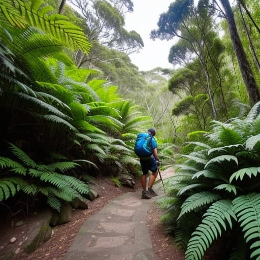
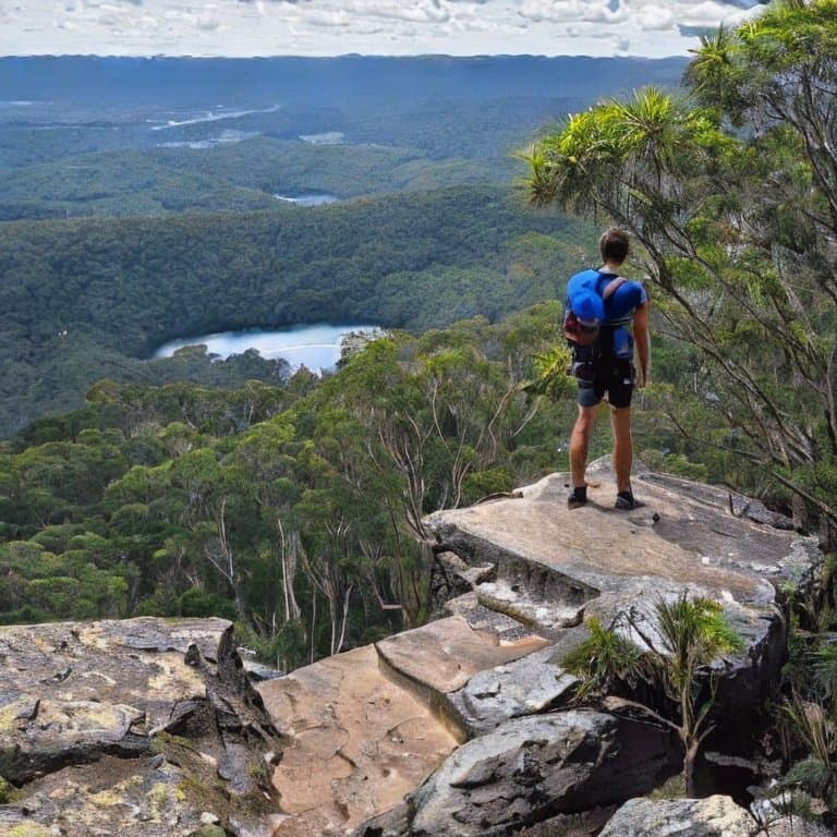
Plan the Castle Mountain walk in Cania Gorge National Park with the official distance, Grade 4 difficulty, route, access, facilities, and safety details.
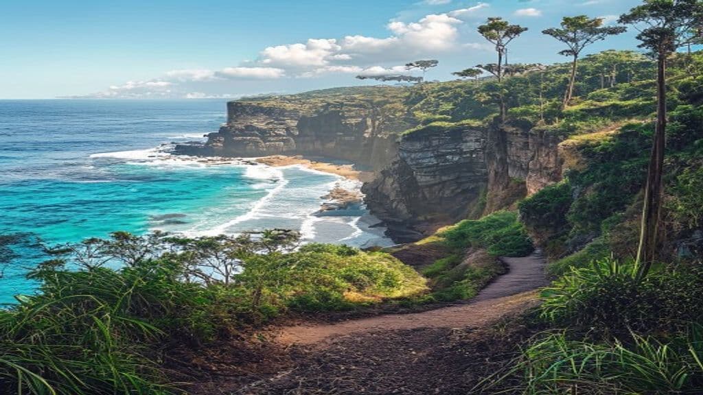
Plan the Bluff Point circuit near Yeppoon with distance, grade, lookouts, terrain, access, and safety notes for this short Capricorn Coast headland walk.
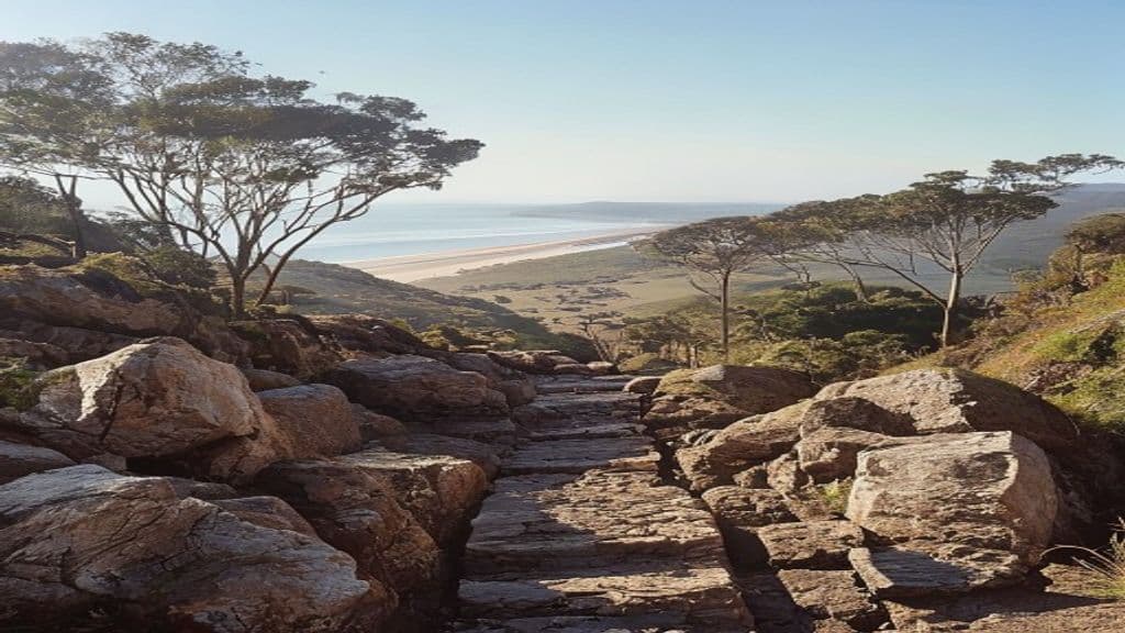
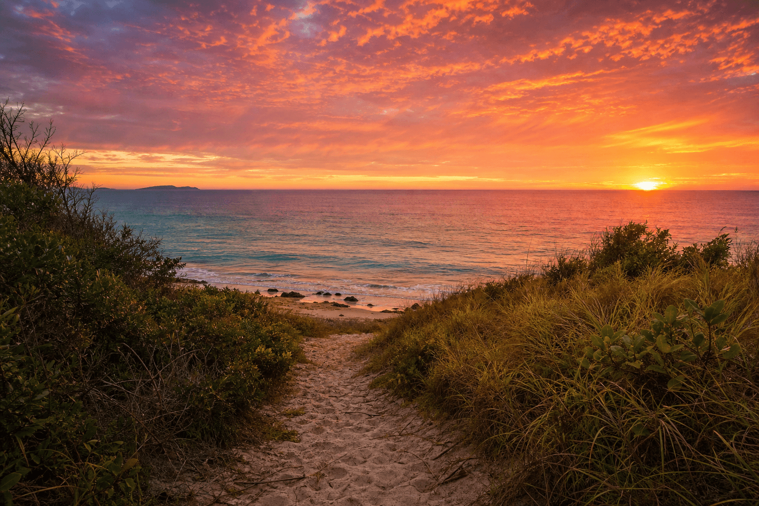
Plan the Carlo Sandblow walk at Rainbow Beach with route options, distance, difficulty, terrain, and safety notes for a Great Sandy National Park day walk.
Plan the Box Forest circuit in Lamington National Park with distance, track direction notes, waterfall highlights, terrain, safety advice, and tips for this Gold Coast hinterland rainforest walk.
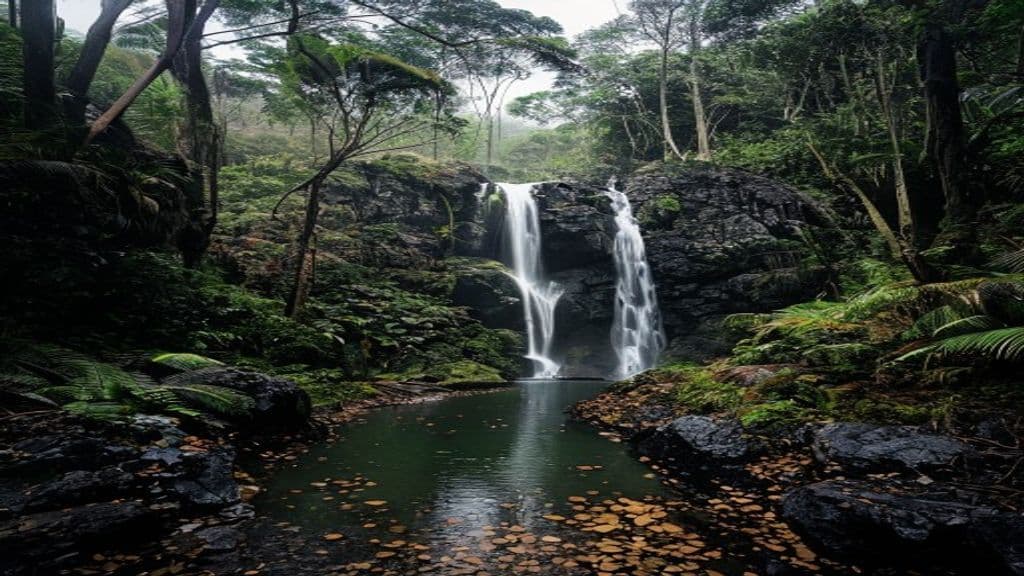
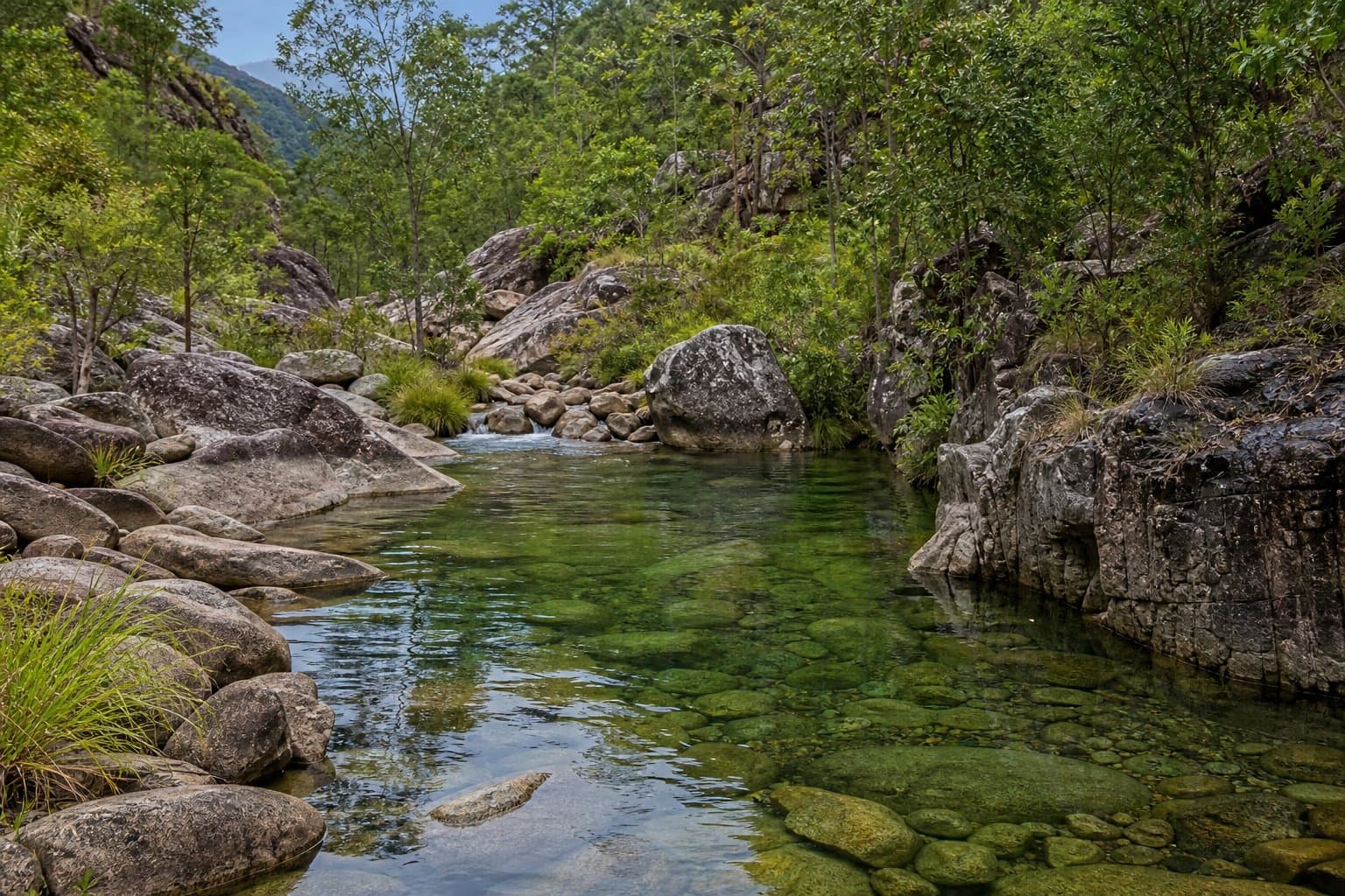
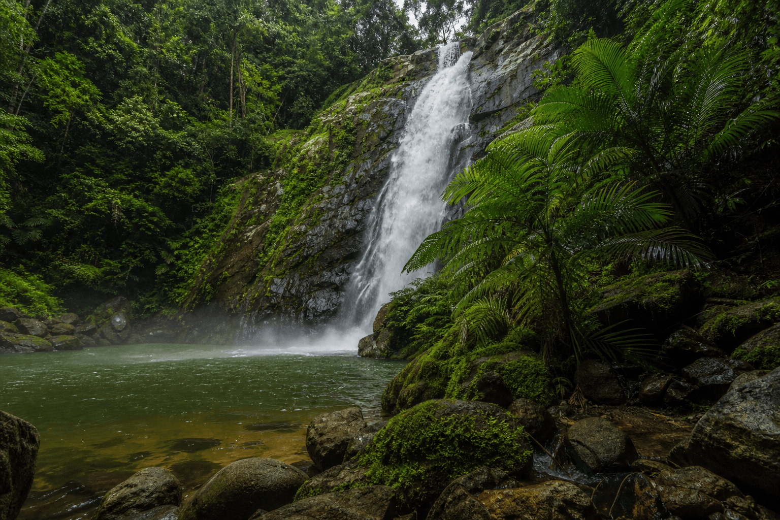
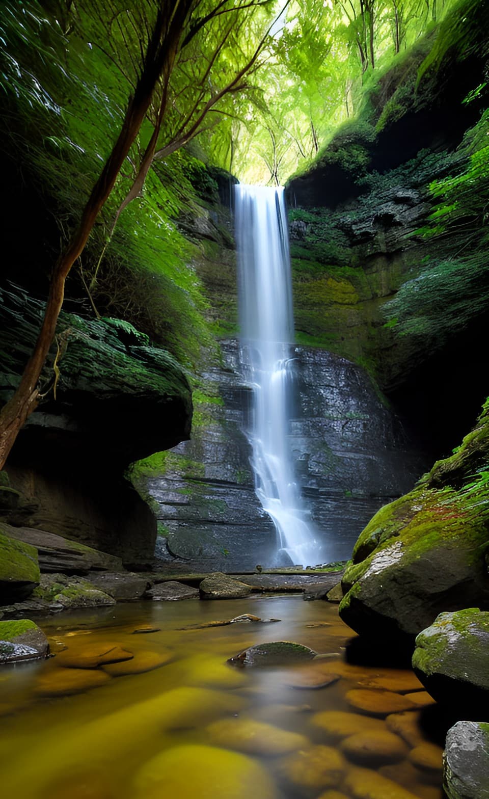
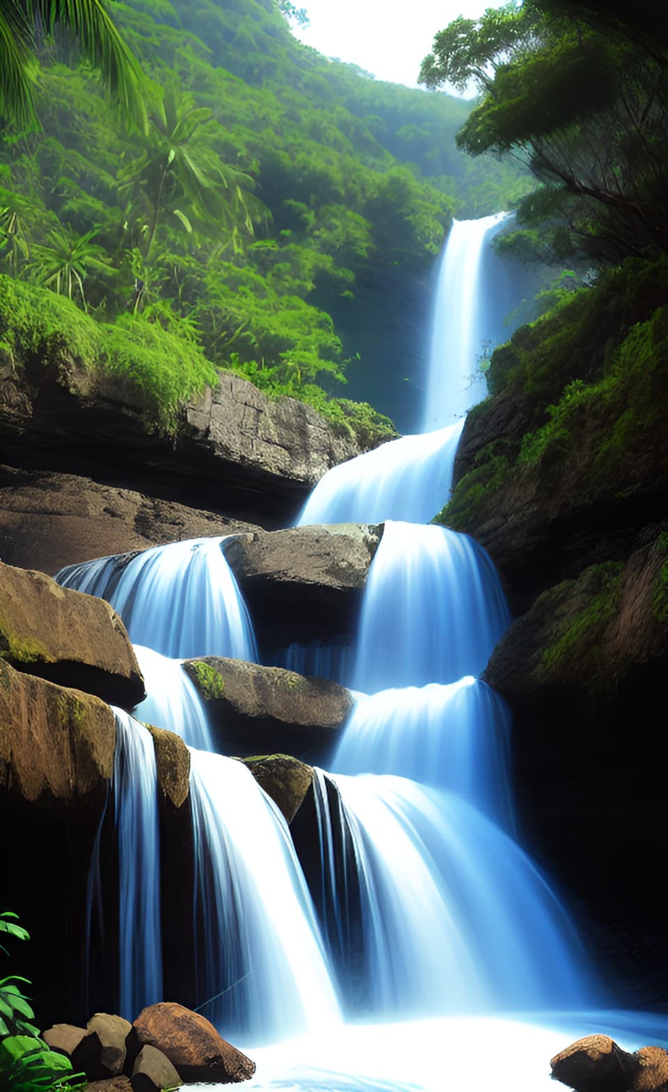
Plan the Booloumba Falls walk in Conondale National Park with distance, difficulty, 4WD access notes, The Breadknife lookout, safety advice, and Sunshine Coast hinterland tips.
Plan the Mount Coolum summit walk with distance, time, difficulty, terrain, parking notes, lookout views, safety advice, and tips for a short but steep Sunshine Coast climb.
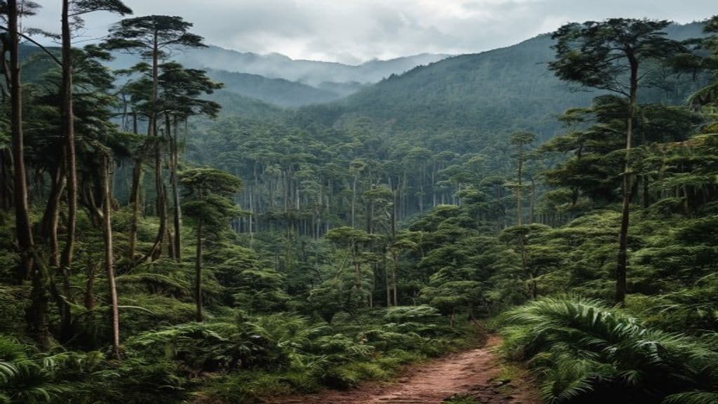
Plan the Barker Creek circuit in Bunya Mountains National Park with distance, waterfalls, bunya pine forest, track conditions, safety advice, and tips for a South Burnett day walk.
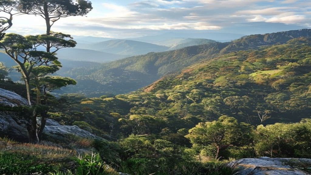
Mount Cordeaux track in Main Range National Park: distance, time, Grade 4 difficulty, lookout views, terrain, parking, and safety for a Scenic Rim day walk from Cunninghams Gap.
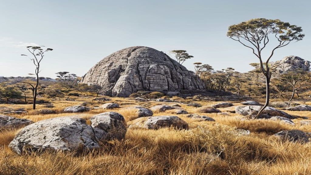
The Pyramid walk in Girraween National Park is a short but strenuous Granite Belt summit hike near Stanthorpe with exposed granite, Balancing Rock, and wide views across inland Queensland granite country.
Plan the Kondalilla Falls circuit near Montville with distance, stairs, waterfall views, track conditions, safety advice, and Sunshine Coast walking tips.
Noosa National Park coastal walk from Noosa Heads: headland views, small beaches, and flexible turnaround options, including Hell's Gates or the full return to Sunshine Beach.
The Terraces in Bowling Green Bay - demanding creek travel, club-grade risk talk, off-track ethics, and QPWS safety framing. Not a step-by-step GPS guide.
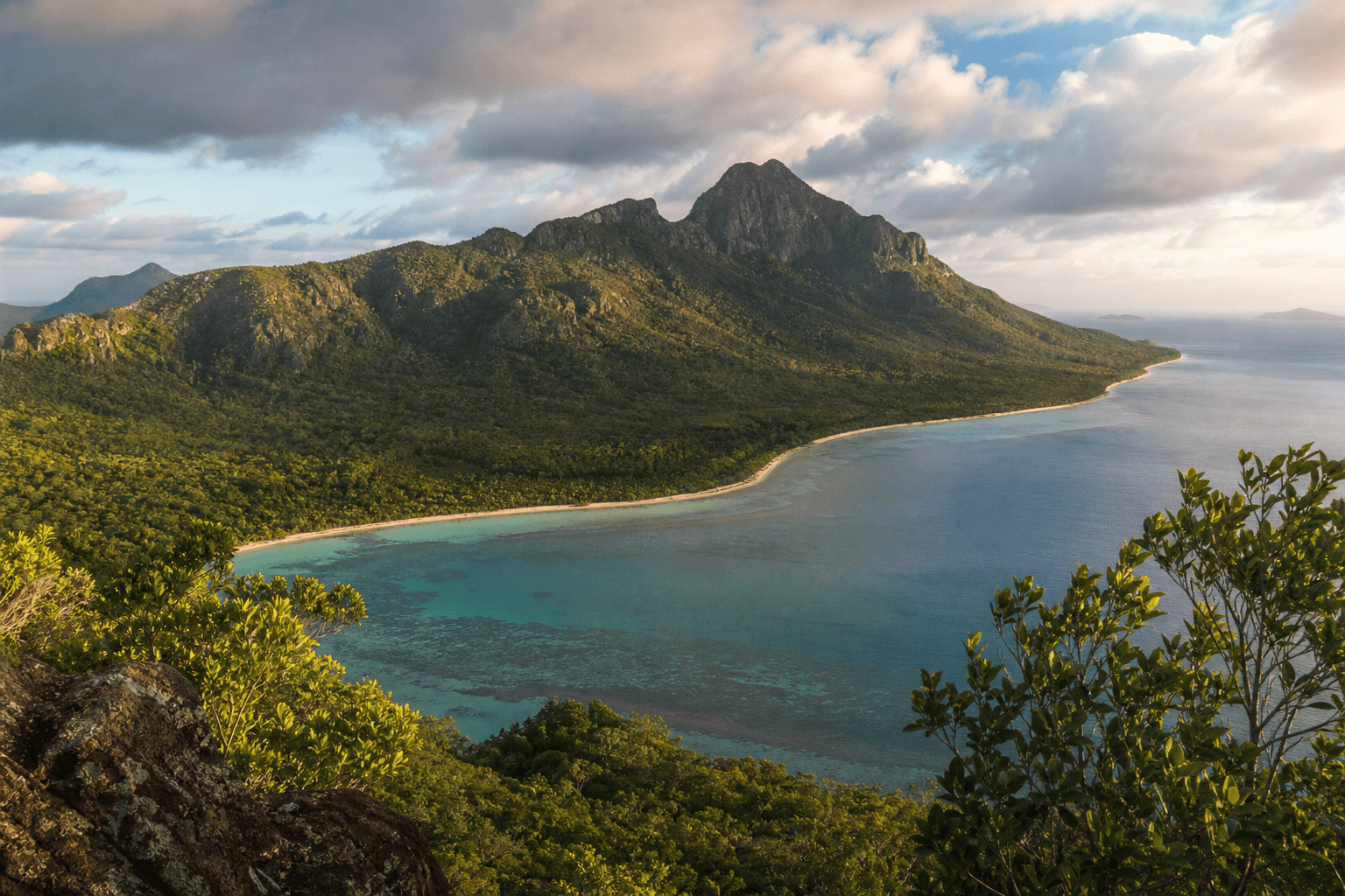
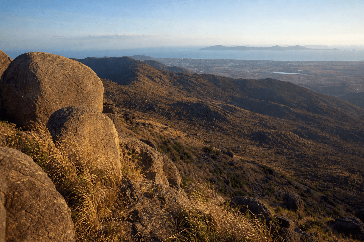
Coastal planning near Townsville for Sunset Beach and Cape Cleveland access, heat, navigation, Bowling Green Bay National Park context, and QPWS safety notes.
Plan overnight walks in North Queensland: permits, water, crocodile-stinger context, pack weight, communication, Thorsborne versus Great Walk products, and when to defer to clubs.
Alligator Falls from the Alligator Creek day-use area - QPWS Grade 5 return, creek crossings, flood risk after rain, and how it differs from the short Alligator Creek walk.
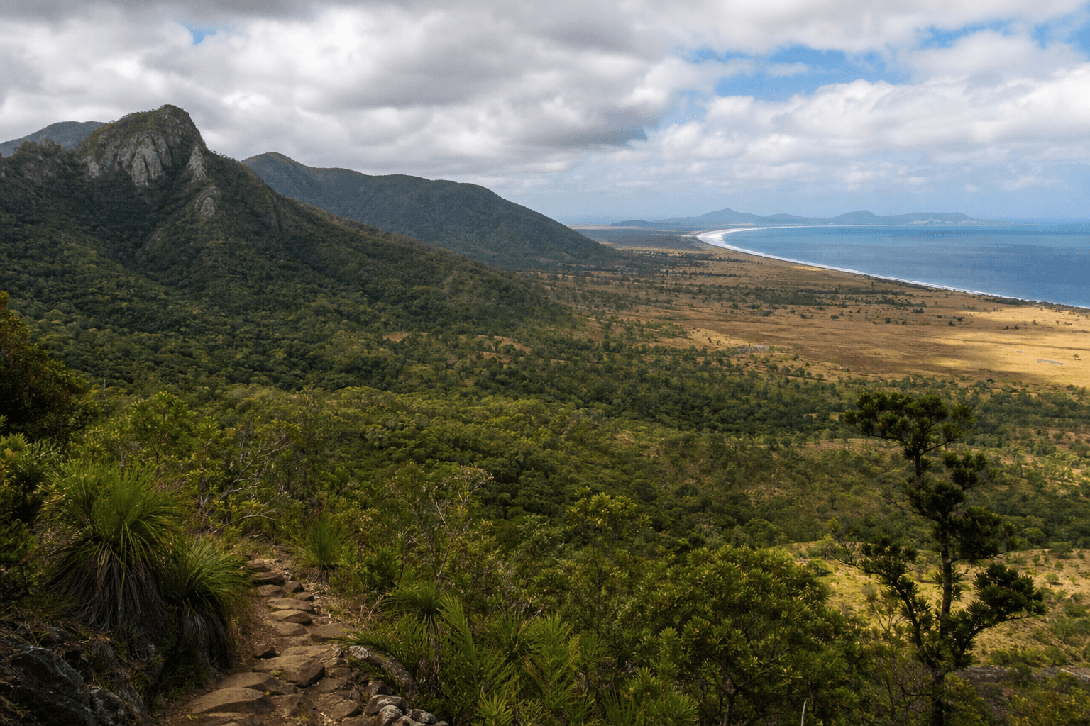
Peak Range National Park in Central Queensland - Wolfang Peak, Lord's Table Mountain, Eastern Peak, Gemini Mountains. Remote peak country: check Isaac and QPWS facts before you go.
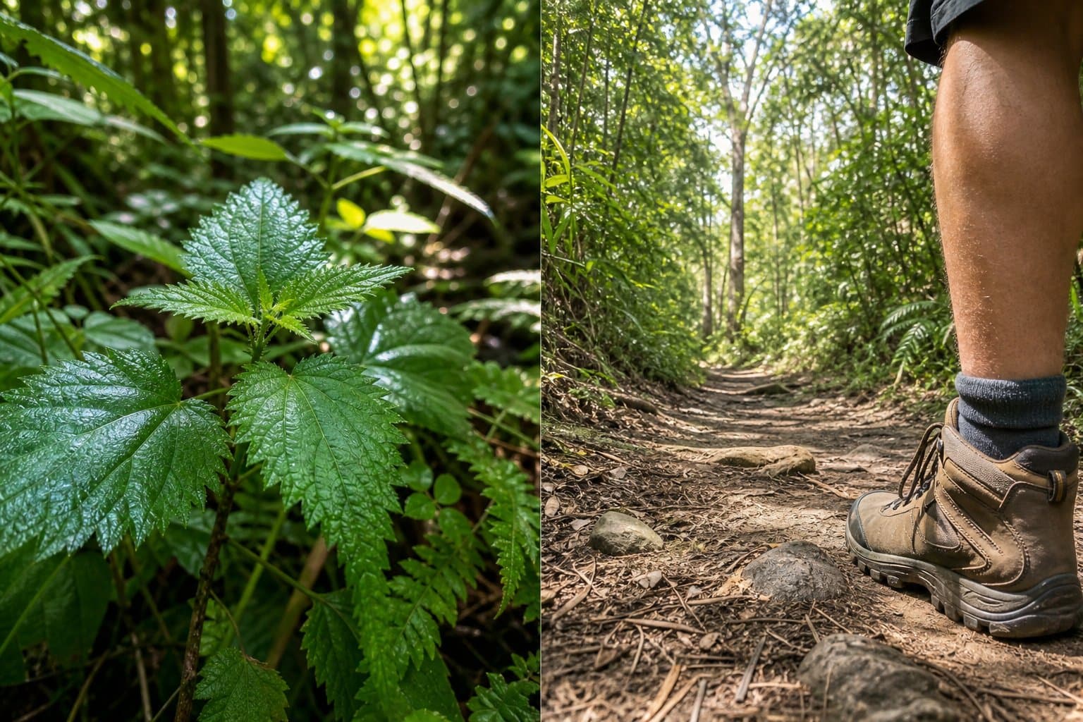
Orienting walkers to gympie-gympie hazards, snake-distance habits, and calm first-response practice - plus links to first aid training, not DIY medicine.
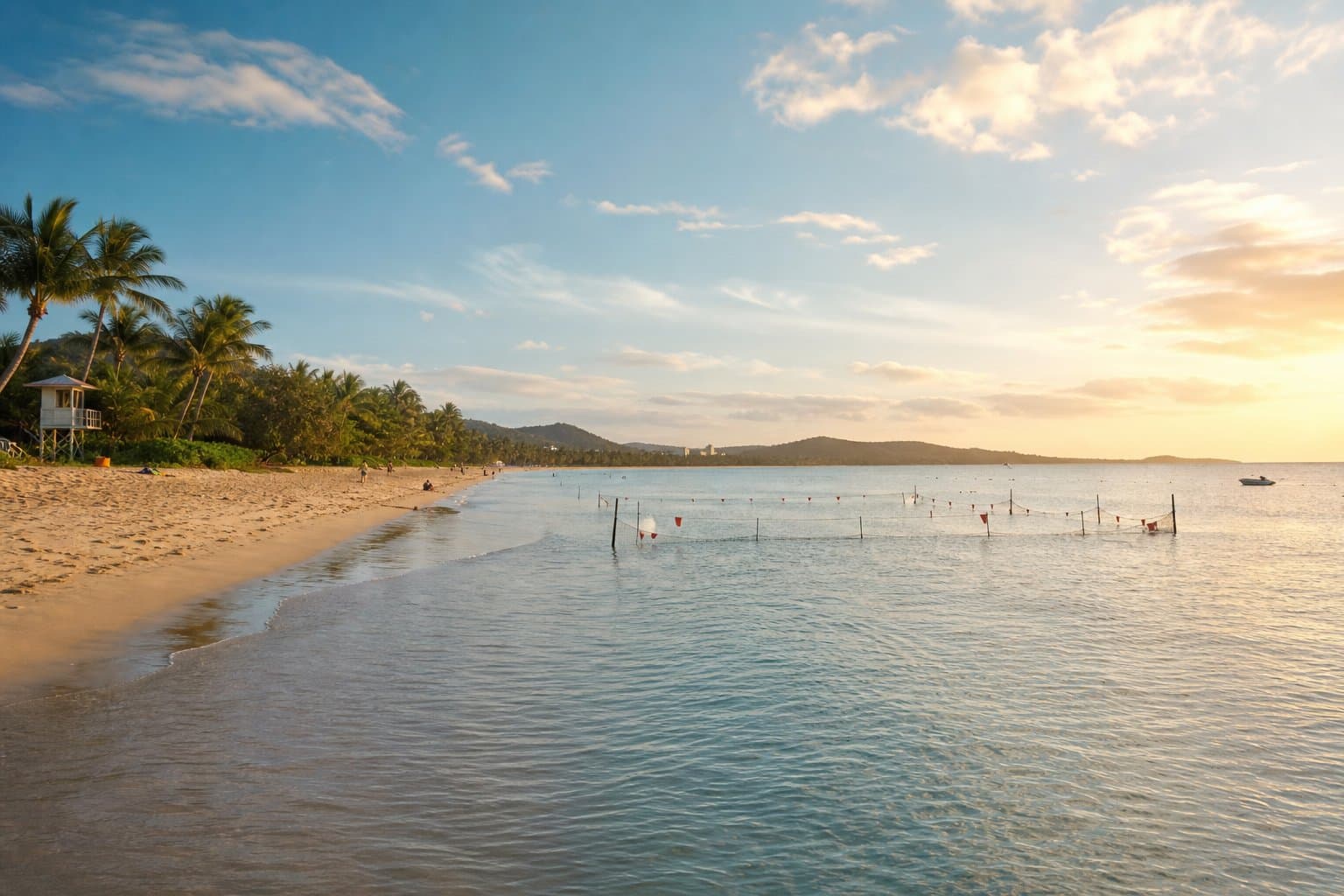
Marine stingers affect North Queensland beaches and estuary edges. Plan swimming, wading, and coast-linked walks using official safety messaging, not viral tips.
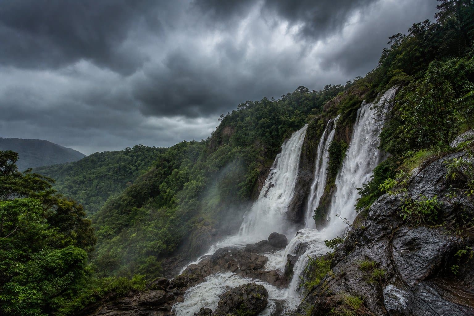
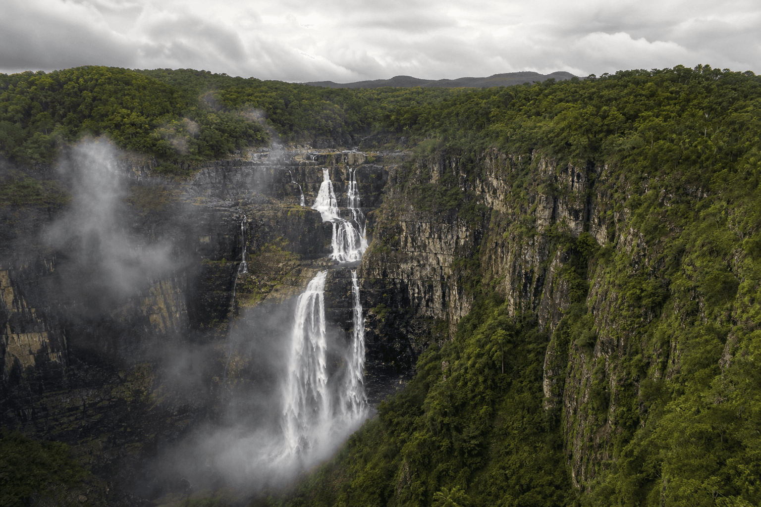
Chasing North Queensland waterfalls in the wet means lightning, flash flooding, and slick rock - not just bigger flow. Plan with BOM, QPWS alerts, and clear turn-back rules.
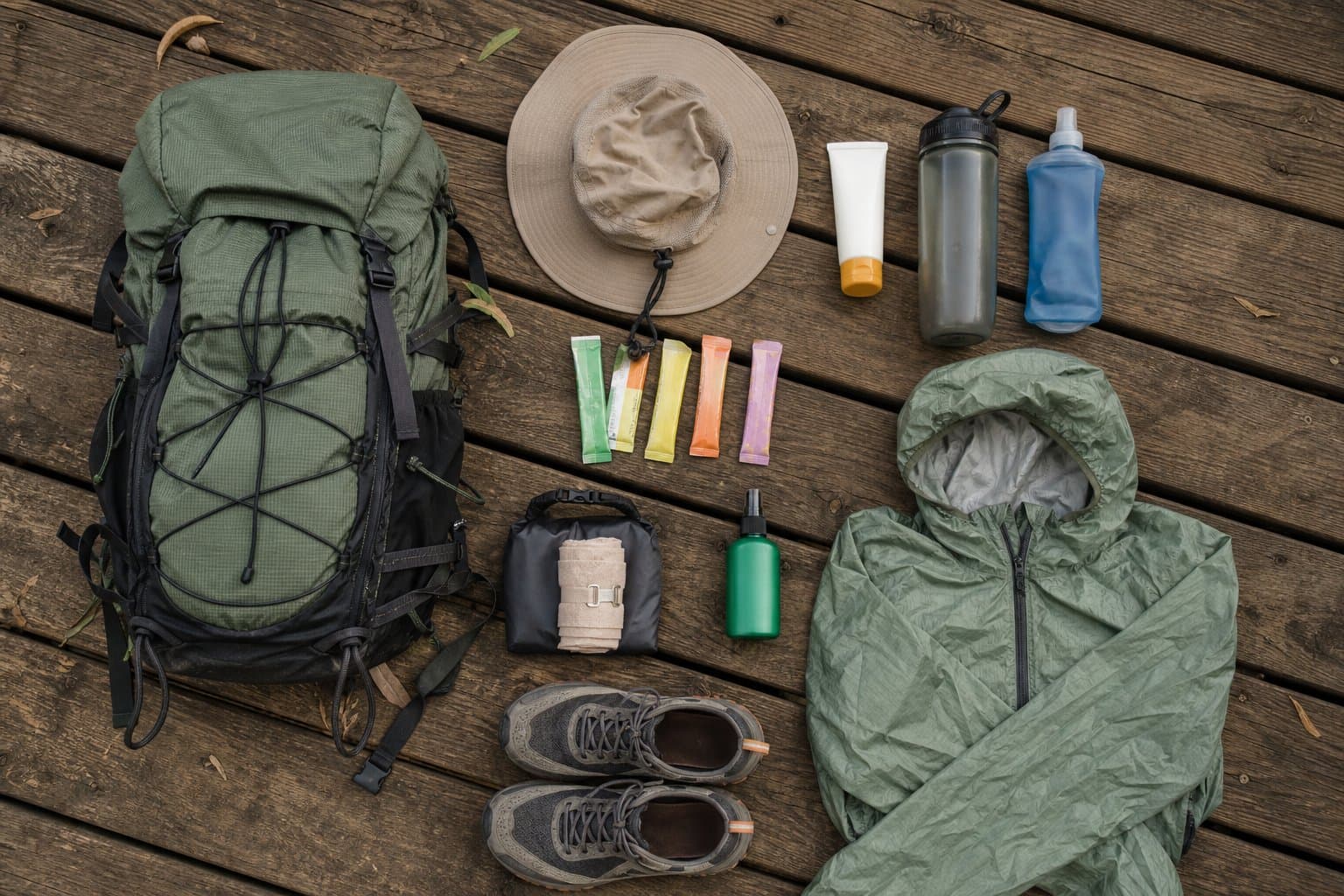
Pack list mindset for North Queensland humidity: water, electrolytes, shell, sun, snake bandage training, dry bags, and why ultra-light lists often fail here.
Paluma Range National Park near Townsville - Mount Spec cloud forest, Jourama Falls, official QPWS walks, wet-season creek risk, and how to plan a cooler-day outing.
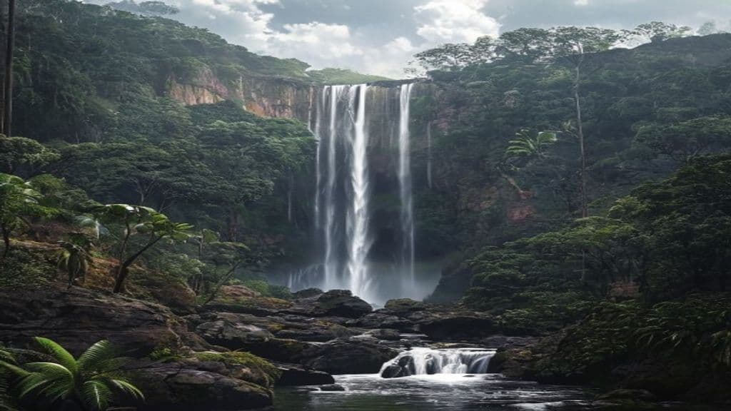
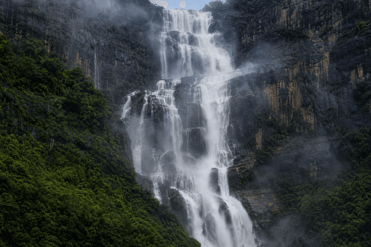
Wallaman Falls in Girringun National Park: lookout, Banggurru and Djyinda walks, packing notes, and lightning caution near the escarpment - verify current QPWS track grades.
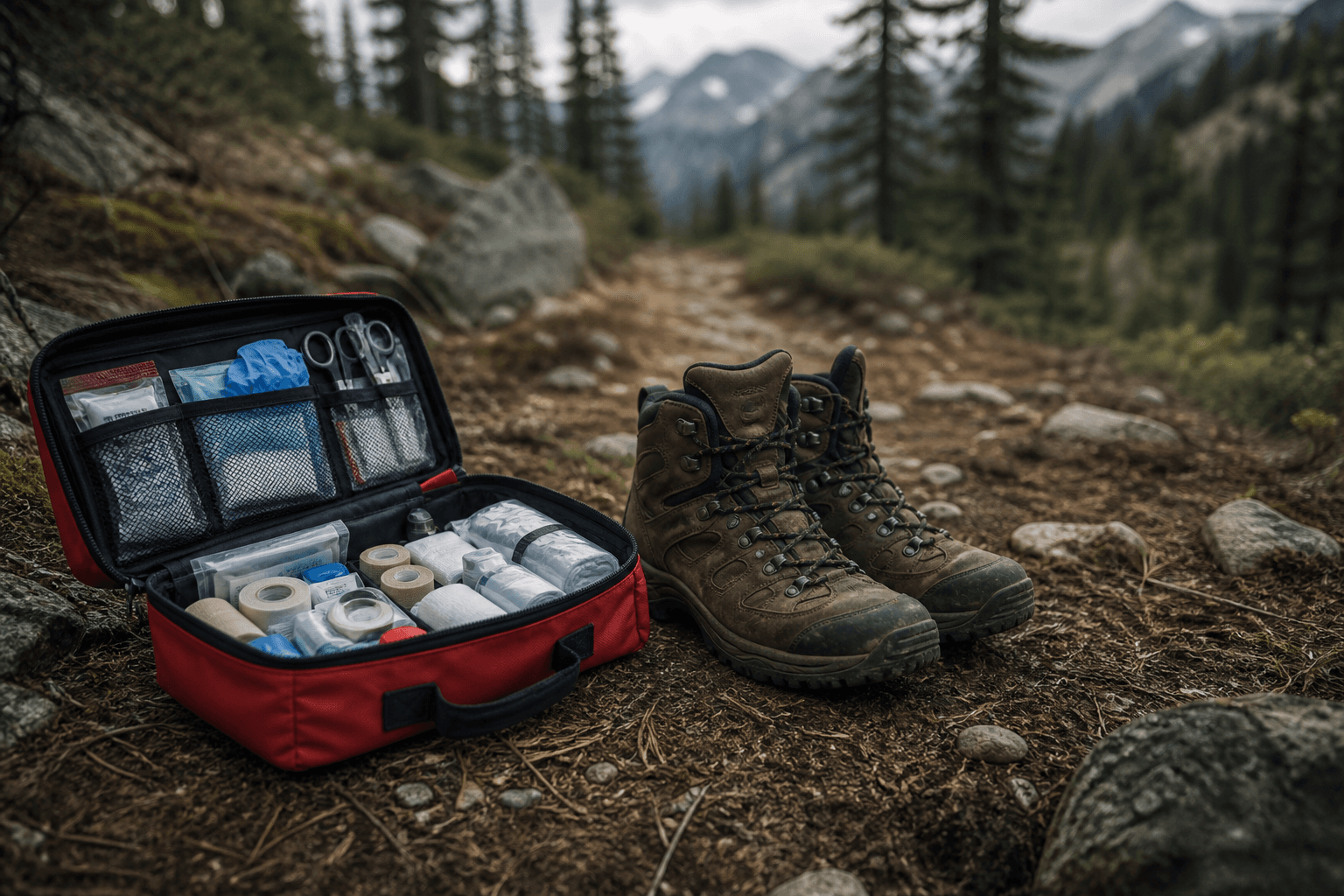
Orientation topics for North Queensland walkers - planning, kits, evacuation thinking, and why accredited training beats blog checklists. Not a substitute for professional medical advice.
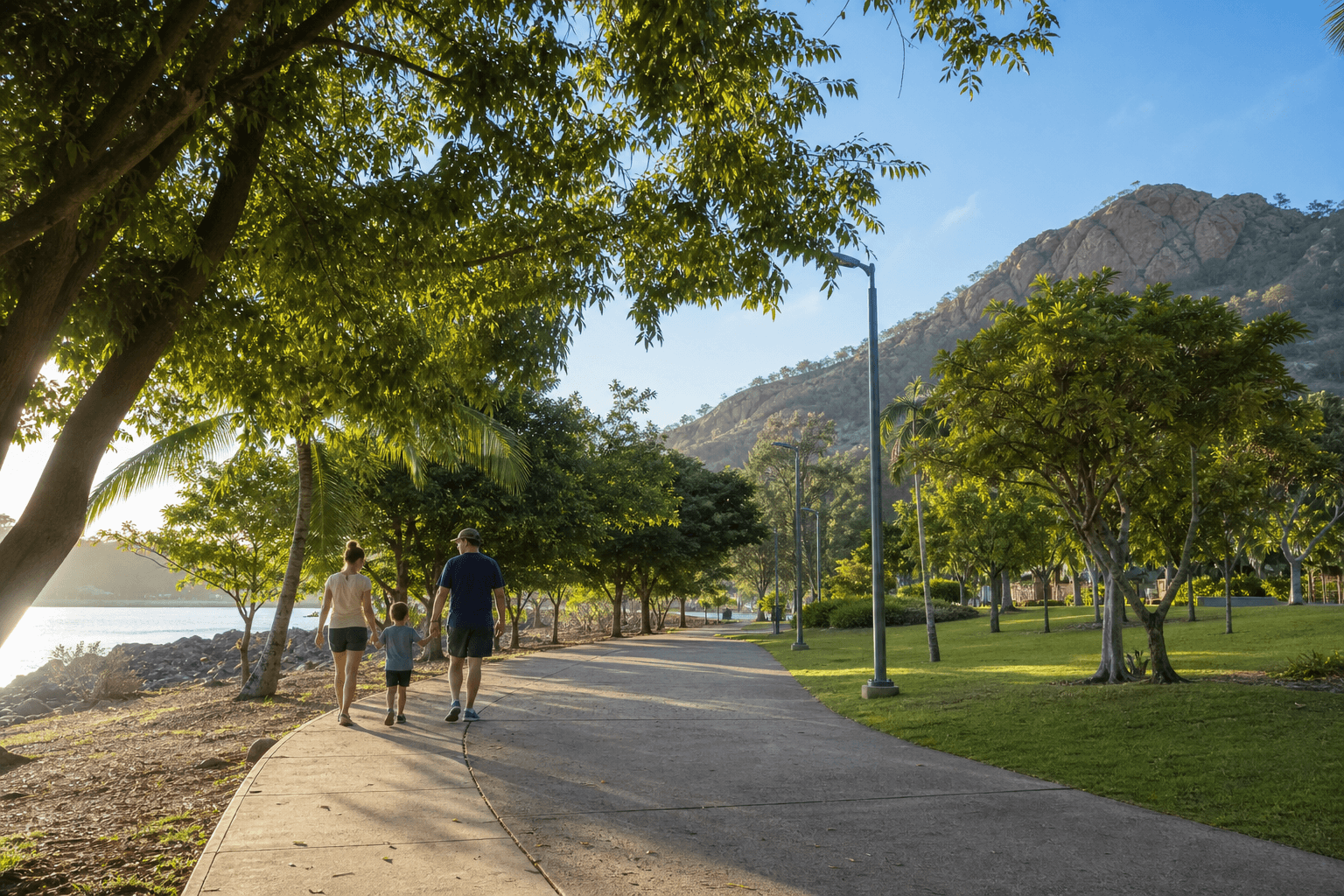
Shade, toilets, short loops, and bail-out plans: Townsville family walks that favour safety over summit photos, with links to beginner routes and dog rules.
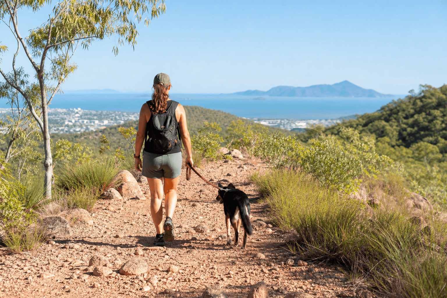
Where dogs can join you around Townsville - national parks: no dogs; some conservation parks and state forests allow leashed dogs. Urban paths, council rules, and heat safety.
Social walking groups in Townsville help with motivation, safety habits, and local route knowledge. Includes links to The Townsville Bushwalking Club and Let's Walk Townsville.
Build hiking fitness for North Queensland: heat adaptation, leg strength for uneven stone, and progressive loading before long ridges or technical gorge walks.
Trail running in Townsville means heat discipline, grip on granite, and conservative pacing - not pavement PBs copied onto ridges. Links to Castle Hill and Mount Stuart guides on Hike & Explore.
Mount Stuart near Townsville - walk planning for rough terrain: creek lines, Dick Creek Falls country, navigation, wet-season risk, and how it differs from Castle Hill. Not a step-by-step off-track guide.
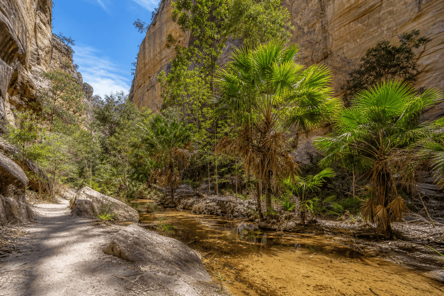
A guide to Carnarvon Gorge Main Track with distance, creek crossings, fan palms, side-trip options, and planning notes for this Central Queensland day walk.
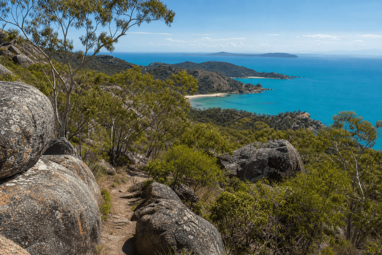
Magnetic Island walks from Forts to Sphinx Lookout and wet-season waterfalls: ferry-first logistics, QPWS grades, stinger safety, and how busy routes differ from harder island tracks.
North Queensland bushwalking covers seasons, stone, coast, and island logistics. Plan skills and safety, then link to Townsville, Cairns, and FNQ guides on Hike & Explore.
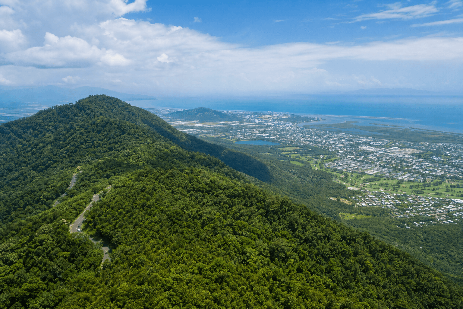
Use this Cairns hiking hub to choose Whitfield tracks, Crystal Cascades outings, and easy waterfront kilometres - with links to detailed posts and official QPWS and council pages.
Plan Townsville walks by heat, time of day, and payoff - not random lists. Covers Castle Hill, coast trails, nearby islands, safety, and links to deeper guides.
Short reef-island walks from Cairns with QPWS track notes, ferry timing, stinger-aware swim planning, coral etiquette, and realistic heat and shade expectations.
Davies Creek National Park day walks with rock pools, granite ridges, and a drier feel than coastal Cairns - plus QPWS checks, heat tips, and Tablelands pairing ideas.
Formed QPWS tracks where Wet Tropics meets the Coral Sea - boardwalk etiquette, crocodile-smart beaches, jellyfish planning, cassowaries, estuary crossings, and links to other Far North Queensland walks.
Coastal and island-adjacent walks near Mission Beach with croc-aware estuary notes, stinger season planning, QPWS Dunk Island pages, and beach-forest etiquette.
Day walks in Tully Gorge National Park between the Cassowary Coast and Hinchinbrook country - QPWS journeys, humidity, creek crossings, and how to pair a gorge day with nearby coast time.
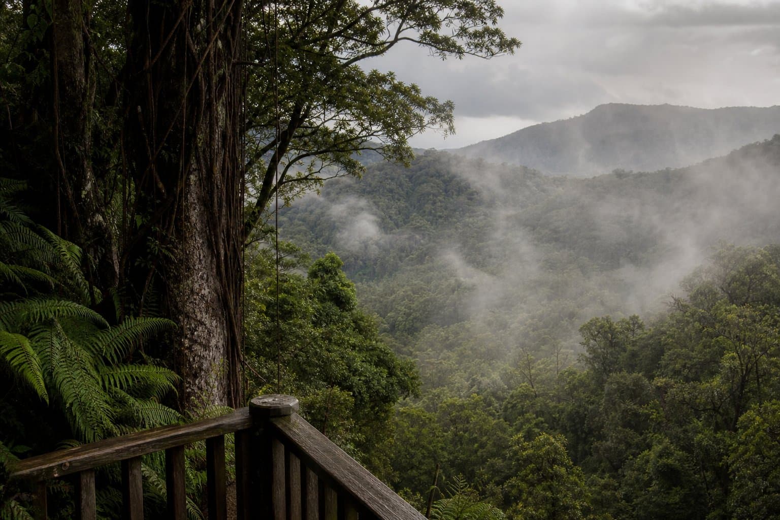
Wet Tropics day walks around Josephine Falls and Wooroonooran rainforest circuits, with Misty Mountains context, slippery granite notes, creek safety, and lightning caution.
Tablelands walks with cooler nights, crater lake circuits at Lake Eacham, Millstream Falls day walks, QPWS alerts, cassowaries, leeches, and how Tablelands pacing differs from coastal Cairns humidity.
Shared paths near Lake Ross and the Ross River: council-managed trails, cyclist mix, leash rules, and why flat still means dehydration in Townsville humidity.
Town Common Conservation Park near Townsville - QPWS bird habitat, wetland loops, and family-friendly pacing with seasonal mozzies, tides, and honest heat budgeting.
Flat coastal walking near Townsville - bird habitat, sea breeze, and tidal sand at Pallarenda and Shelly Beach with council and QPWS references, heat tips, and dogs-on-leash checks.
Townsville's 286 m summit - Goat Track, alternate routes, heat and footwear, and planning beyond the best-known climb. The busiest hill in the city still needs care.
A moderately challenging rainforest loop in Mount Whitfield Conservation Park near Cairns, with Lumley Hill climbs, lookouts, and quieter sections than Red Arrow.
An easy Cairns waterfront walk along Trinity Inlet with lagoon swimming, boardwalk sections, family facilities, and tips for heat and shared path etiquette.
A moderate Cairns climb on Mount Whitfield Conservation Park with harbour views, steady gradient, and easy links into Blue Arrow and other Arrow walks.
A moderate Cairns summit walk with two route options, harbour views, and tips for heat, footing, and combining Earl Hill with other city foothill tracks.
Far North Queensland pairs Wet Tropics rainforest with reef-country humidity. Use this FNQ roundup to shortlist walks - then verify closures on QPWS before you drive.
Mount Ngungun Summit track in the Glass House Mountains: a short, steep climb with 360-degree views, suited to most active walkers who want more than a flat track.
A long circuit in Springbrook National Park with major waterfalls, rainforest, and plenty of stairs. Plan for a full day and check QPWS conditions before you go.